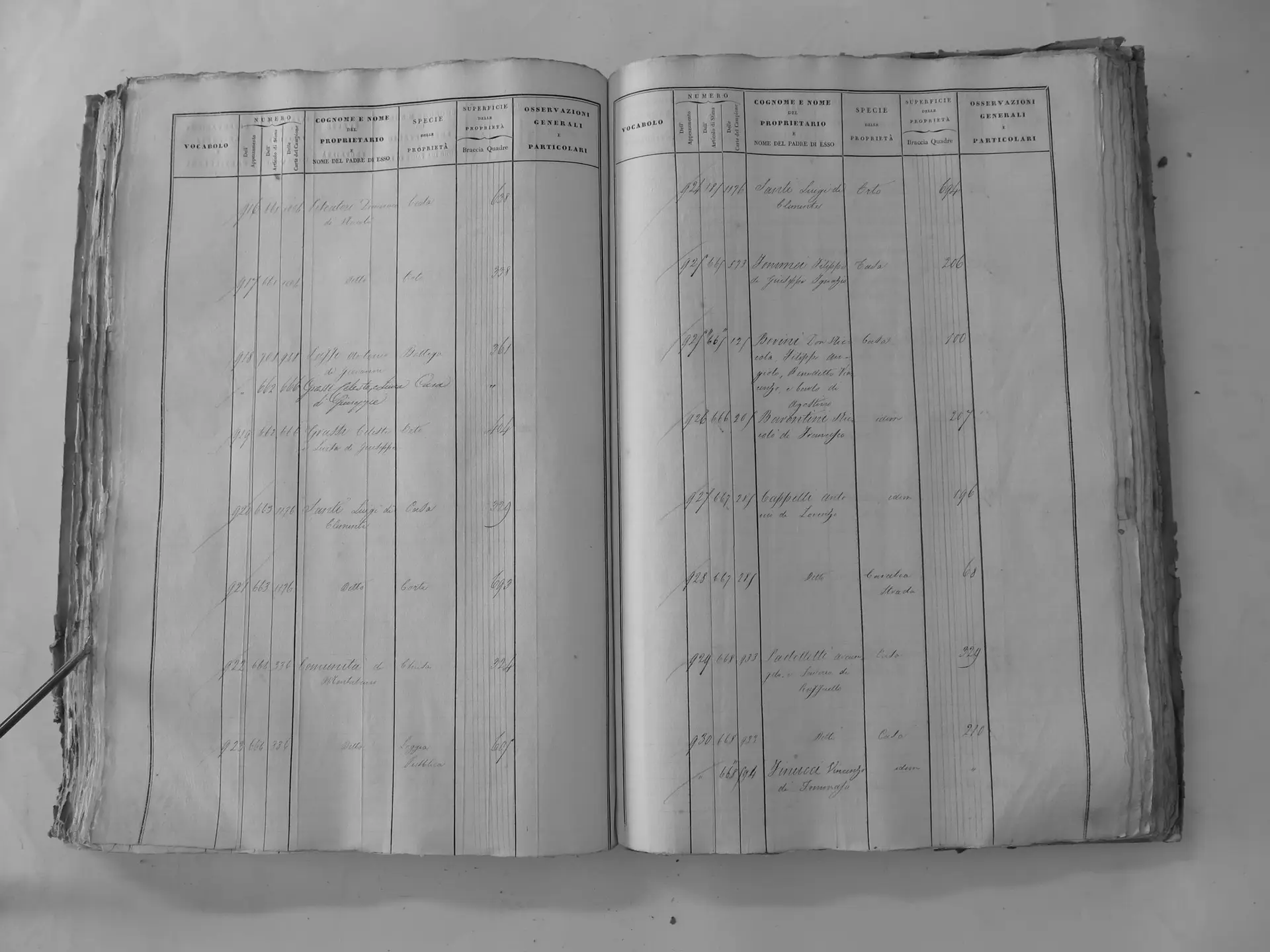
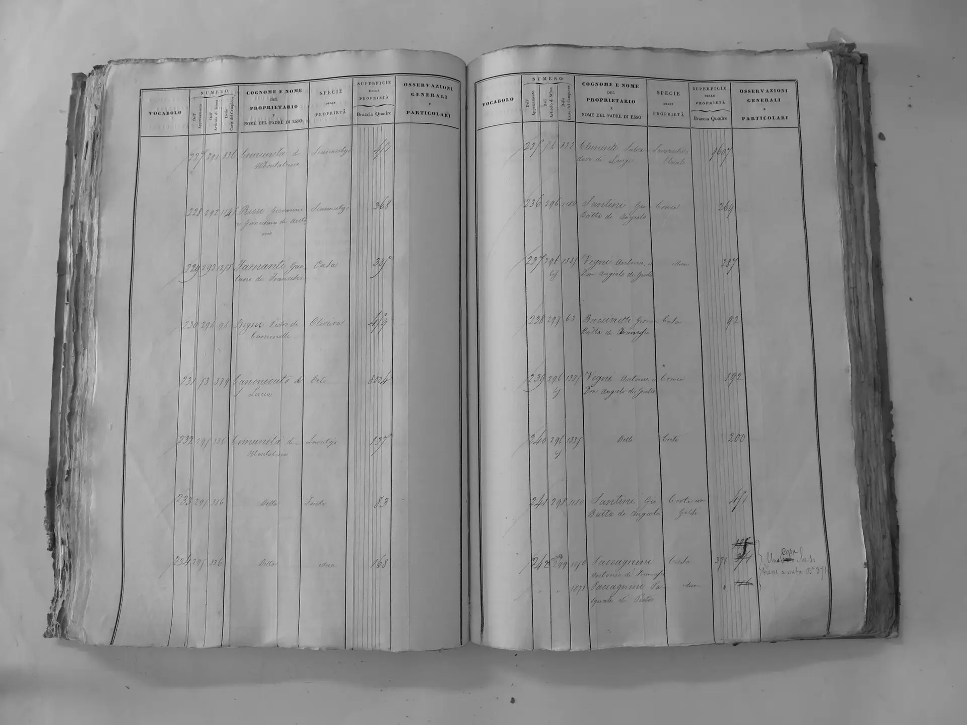
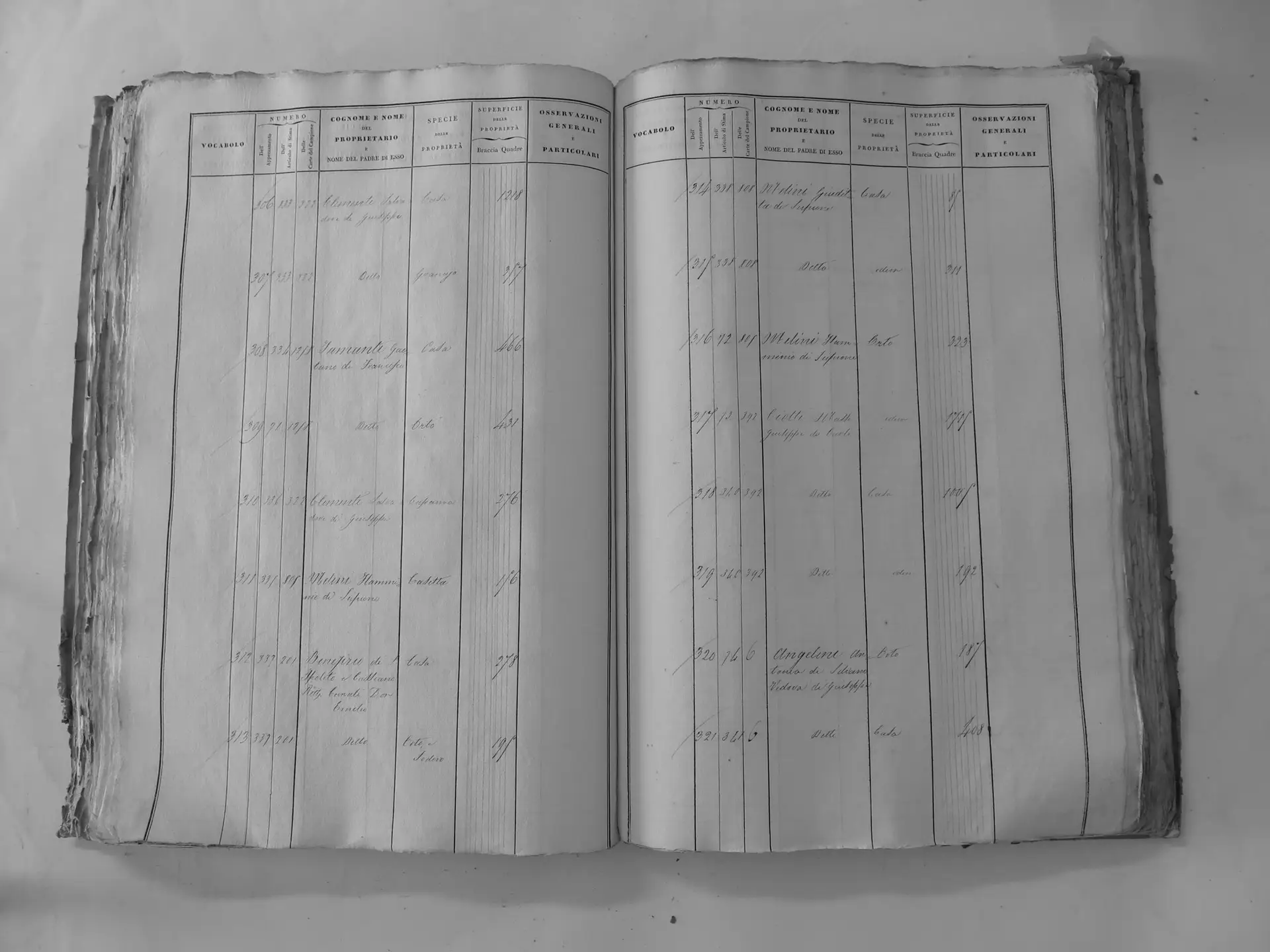
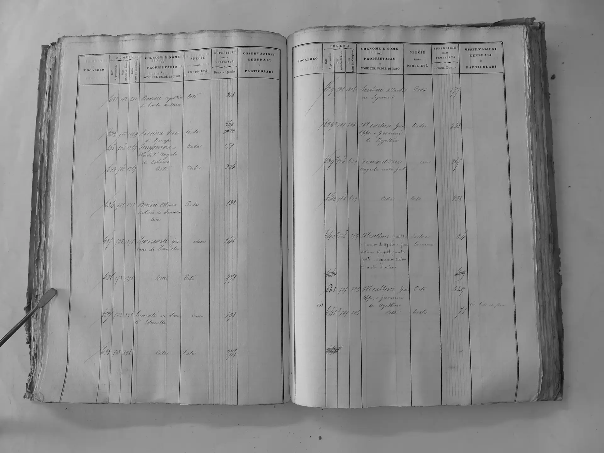
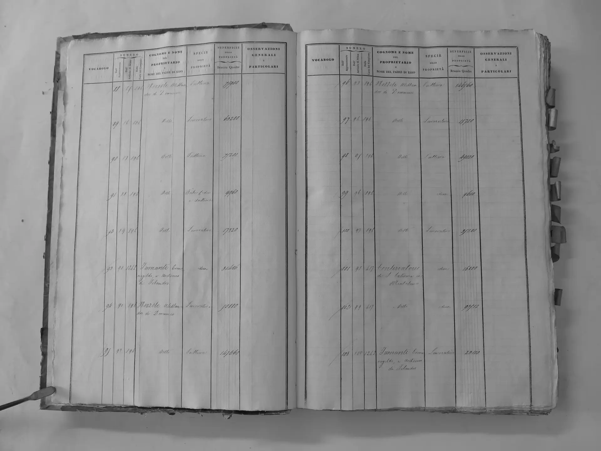
These are the pages of the Leopoldine cadastre (Catasto Generale della Toscana, Comunità di Montalcino, Tavole indicative, Tomi I–III, c.1820) that record land held by the Tamanti family and by the Santi family they married into. Each image is a local copy. The link beside it opens the same page on the Regione Toscana CASTORE service.
For what the parcels were and where they lay, see Tamanti Poderi.
Tamanti Gaetano di Francesco (ledger 1258)
Section A (countryside)
- Tomo I p.10 (local copy, E25) · CASTORE
- Tomo I p.11 (local copy, C1-0011) · CASTORE
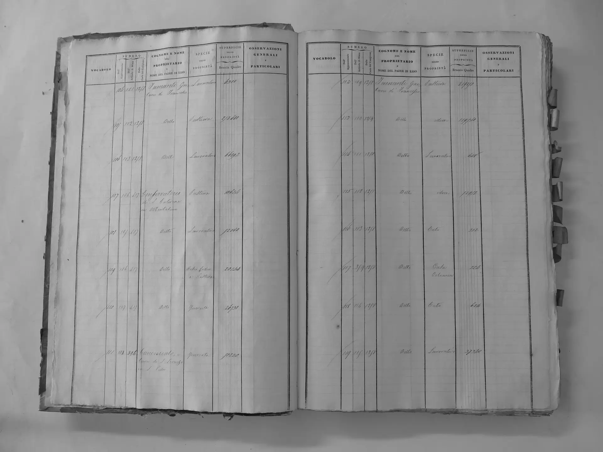
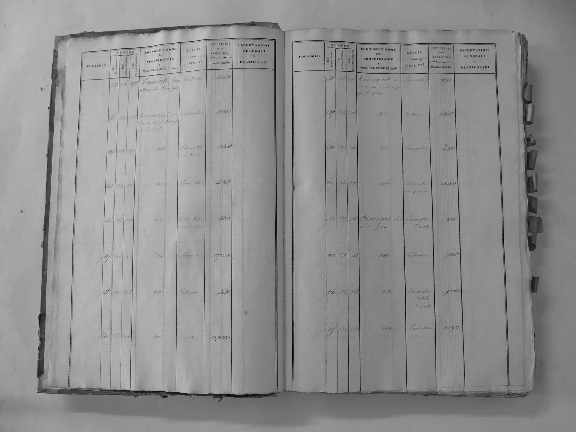
San Polo (G)
- Tomo I p.90 (local copy, C1-0090) · CASTORE
- Tomo I p.93 (local copy, C1-0093) · CASTORE
- Tomo I p.94 (local copy, C1-0094) · CASTORE
- Tomo I p.95 (local copy, C1-0095) · CASTORE
- Tomo I p.96 (local copy, C1-0096) · CASTORE
- Tomo I p.97 (local copy, C1-0097) · CASTORE
- Tomo I p.100 (local copy, C1-0100) · CASTORE
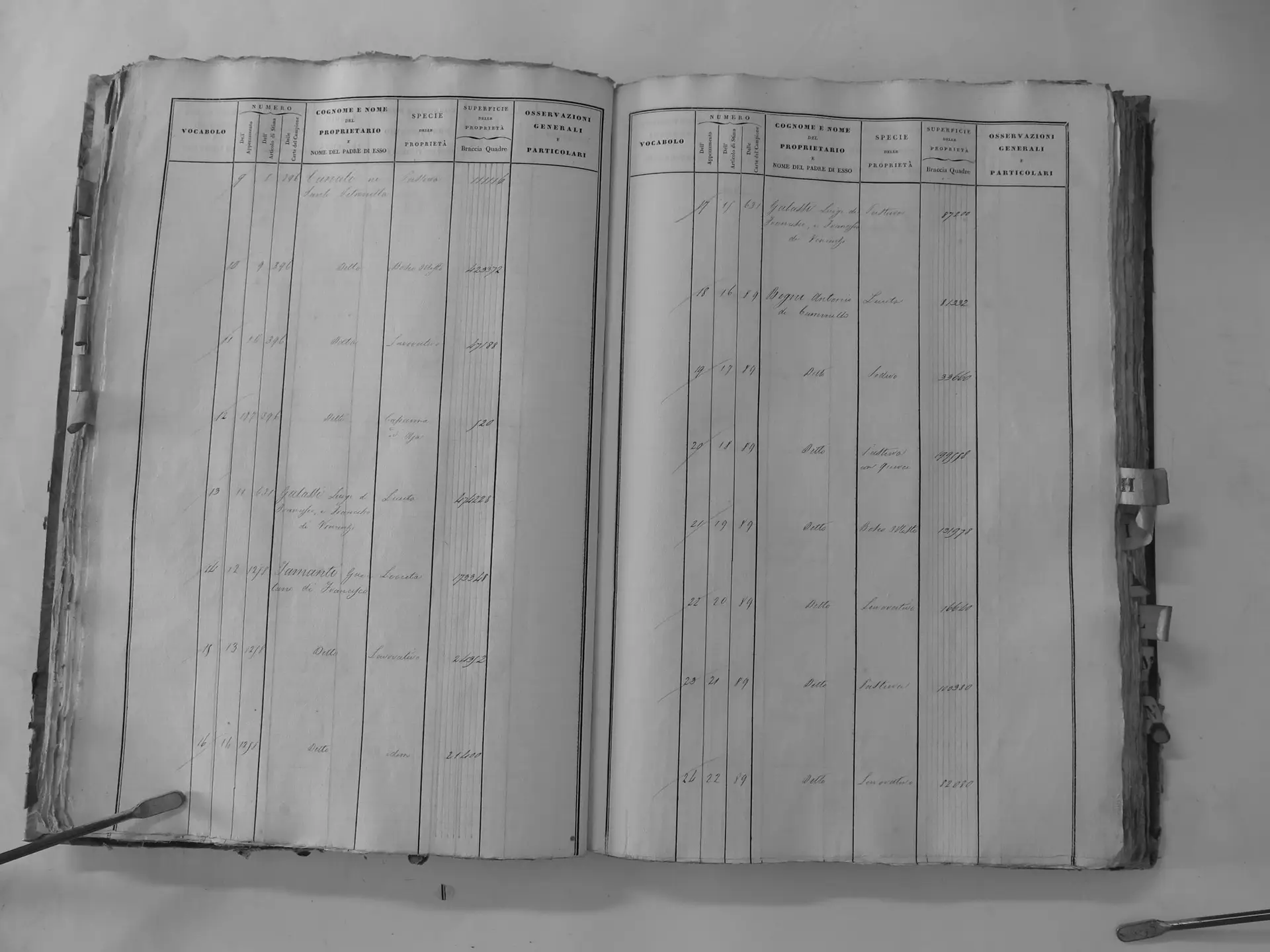
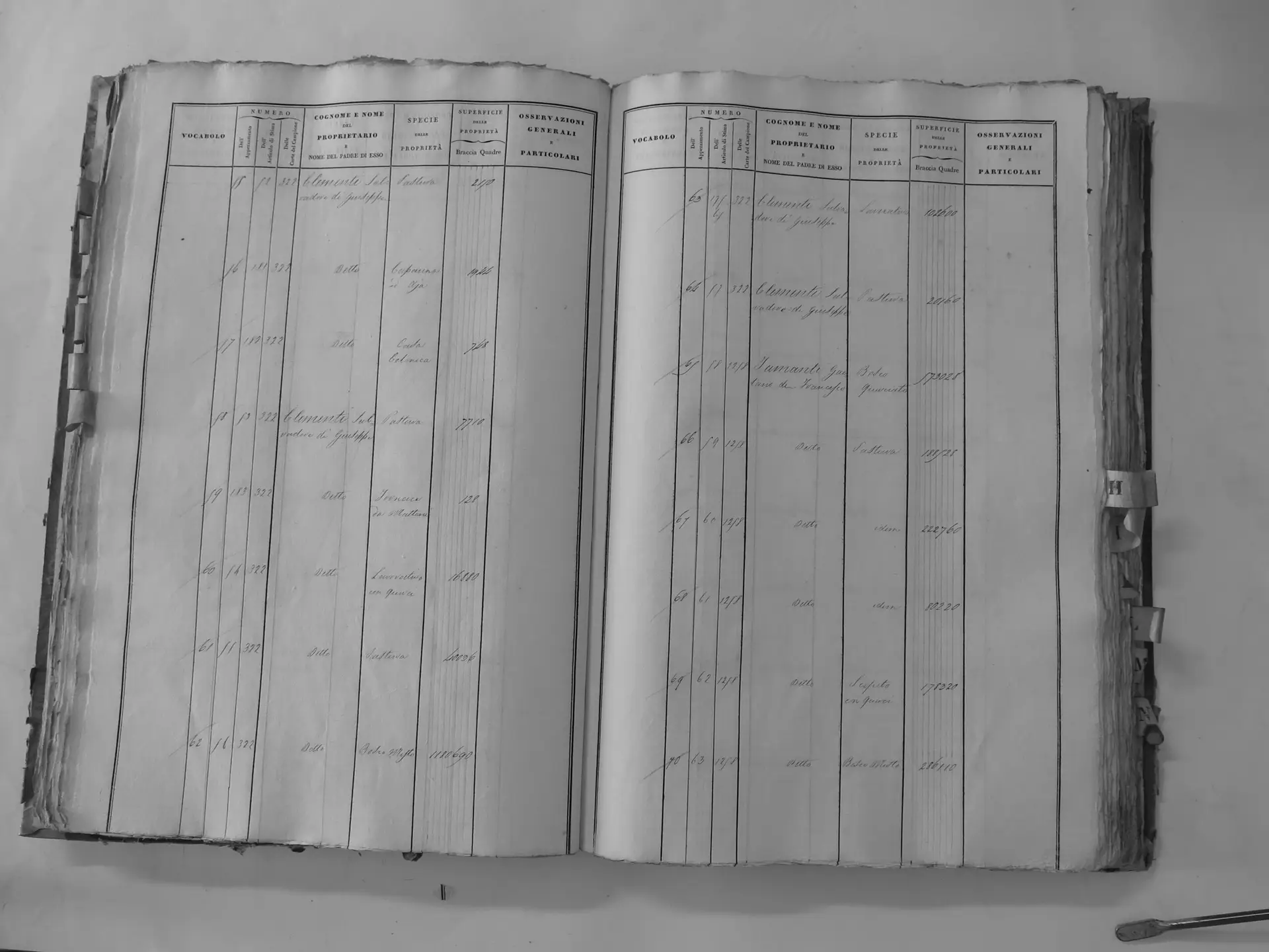
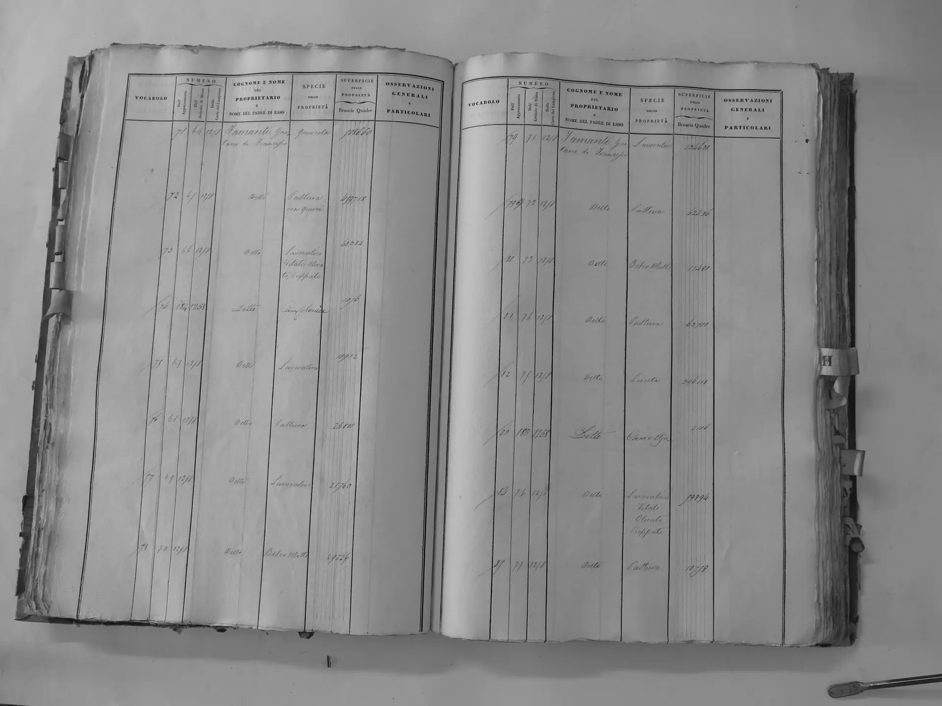
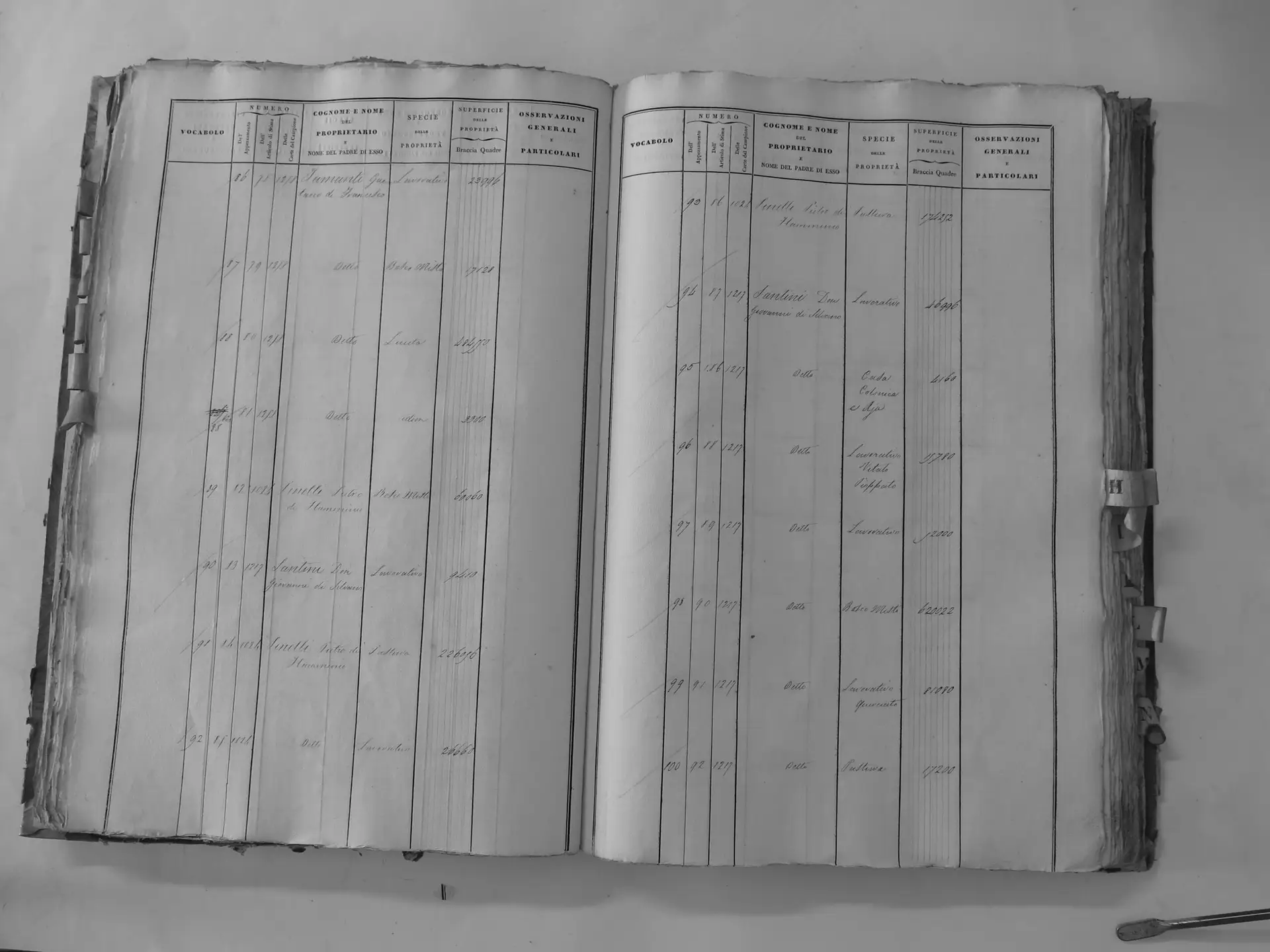
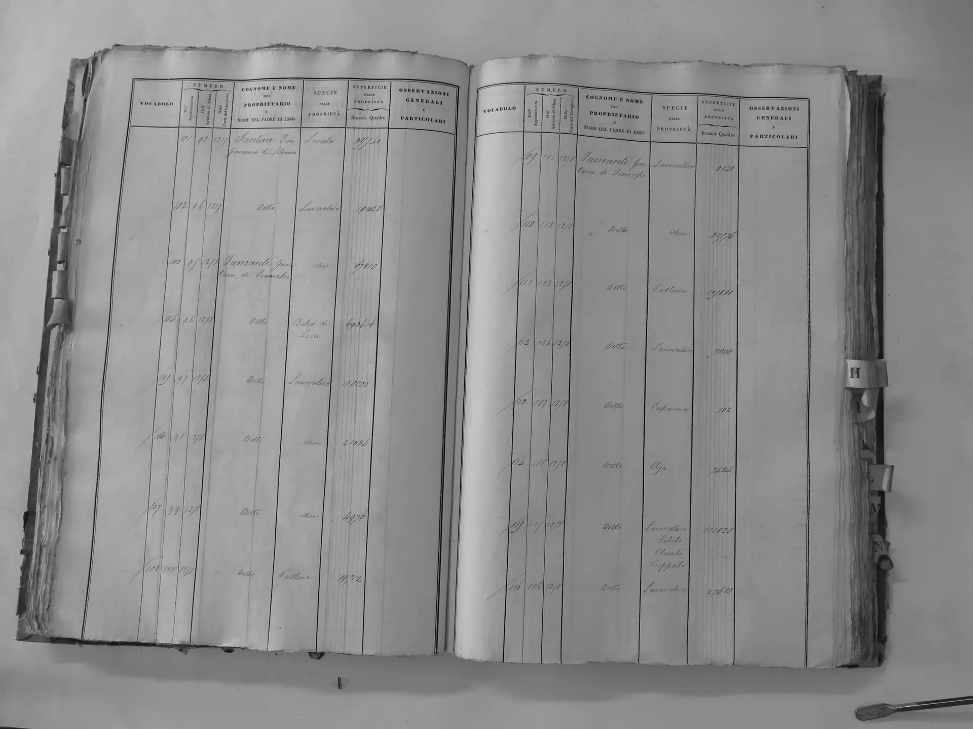
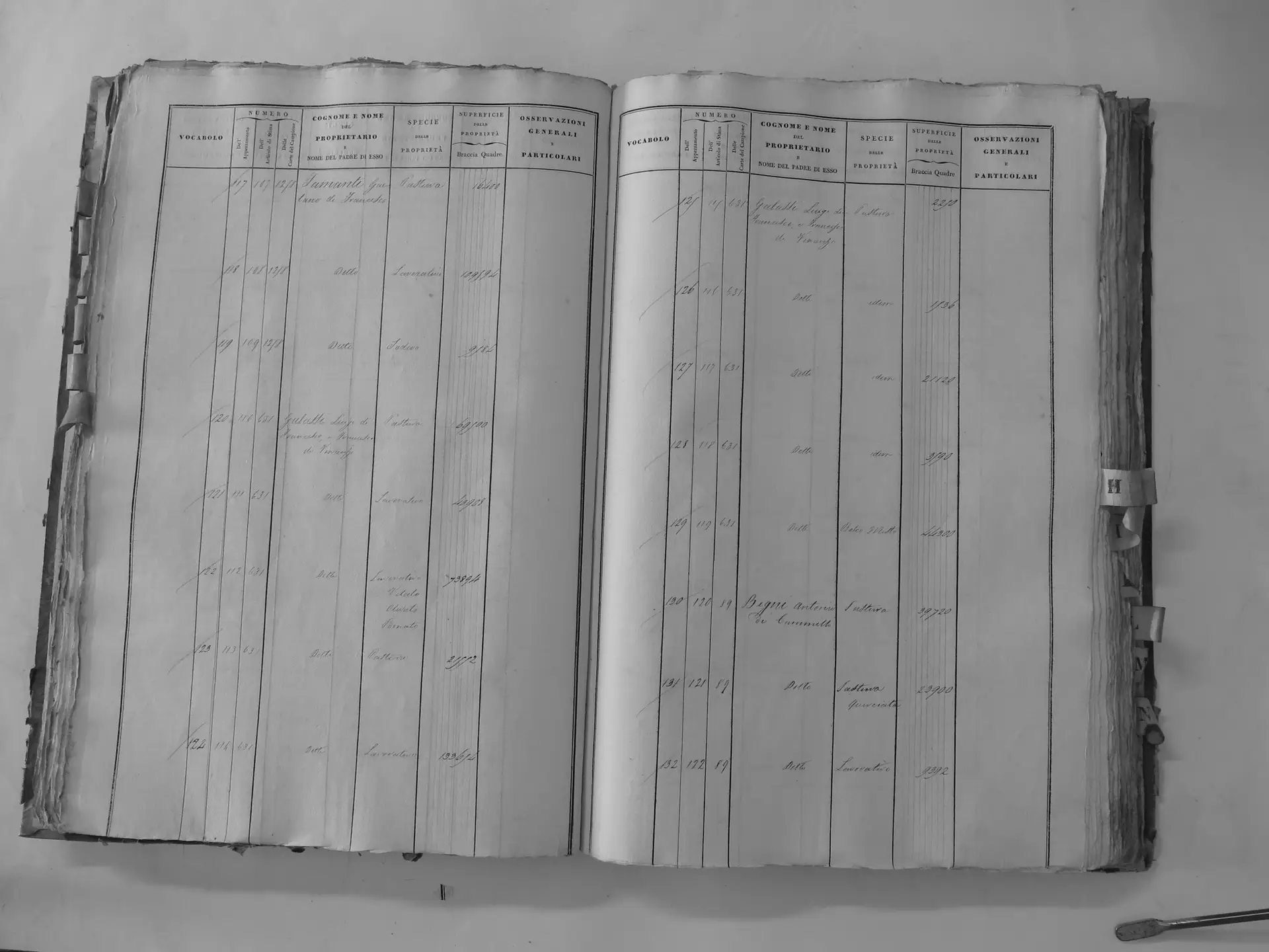
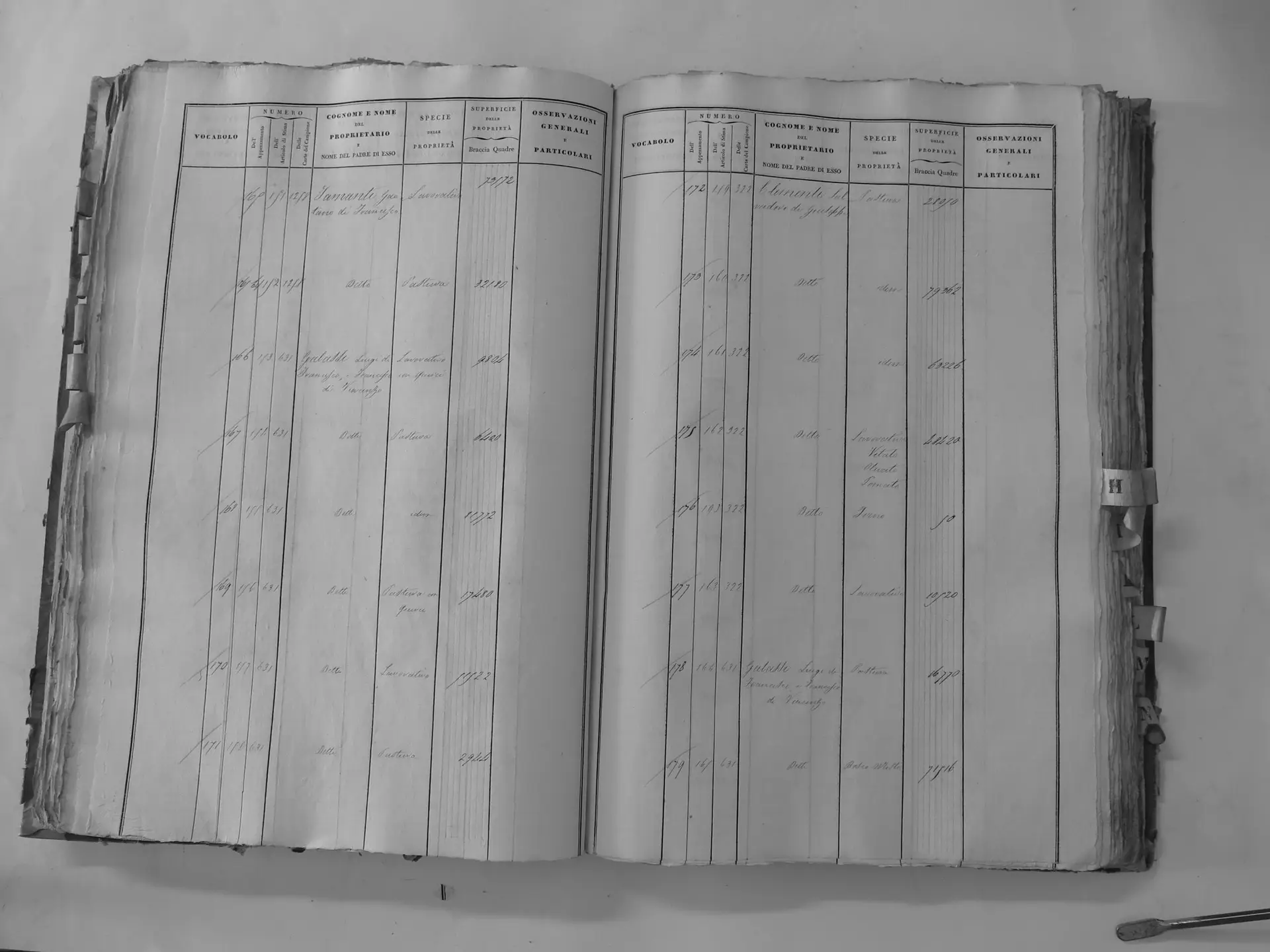
Montosoli (B′) – incl. parcel 39 re-assigned from Ermenegildo & Antonio
- Tomo II p.97 (local copy, C2-0097) · CASTORE
- Tomo II p.98 (local copy, C2-0098) · CASTORE
- Tomo II p.99 (local copy, C2-0099) · CASTORE
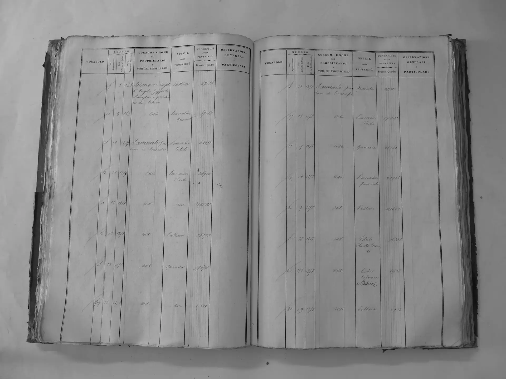
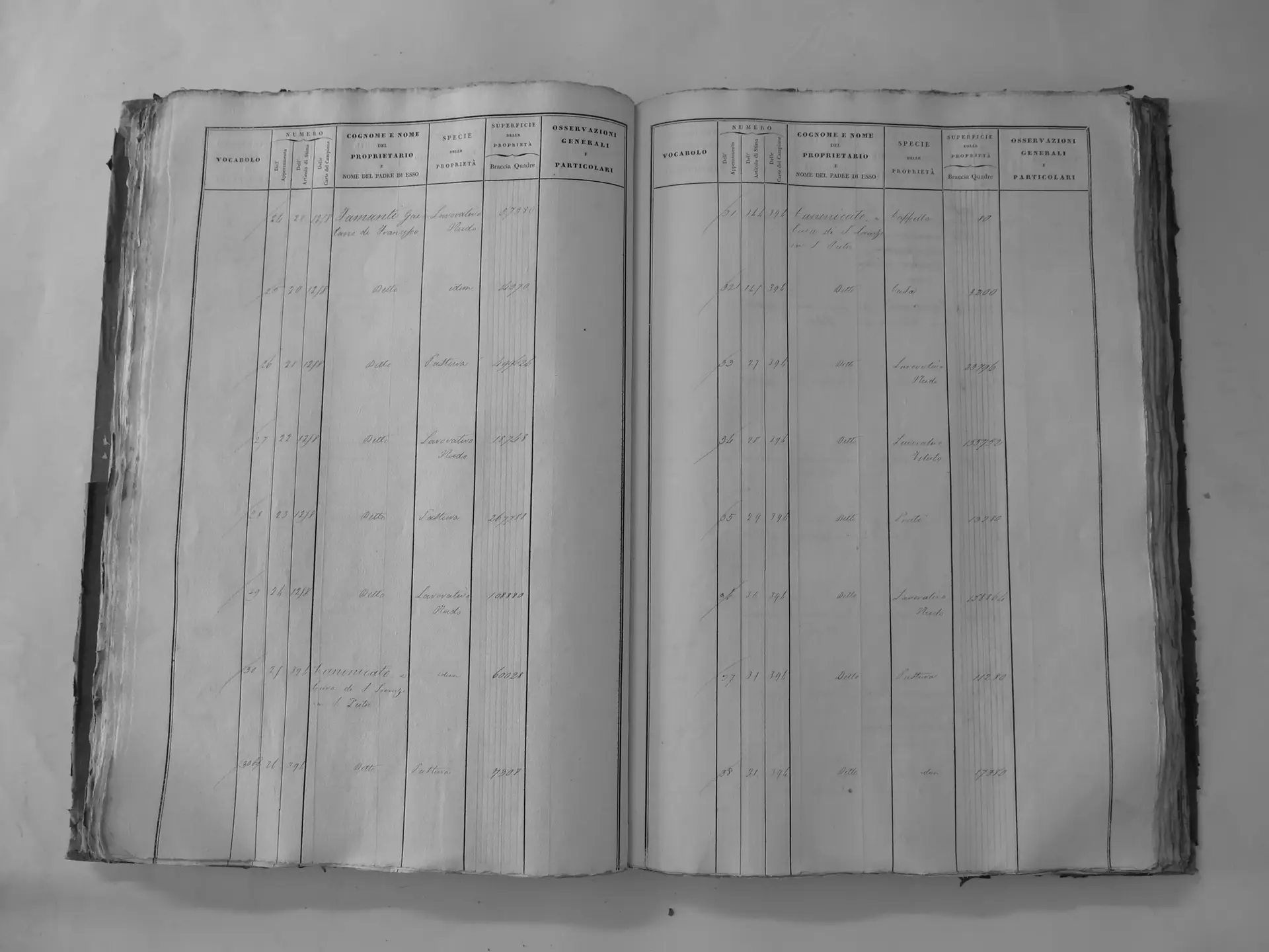
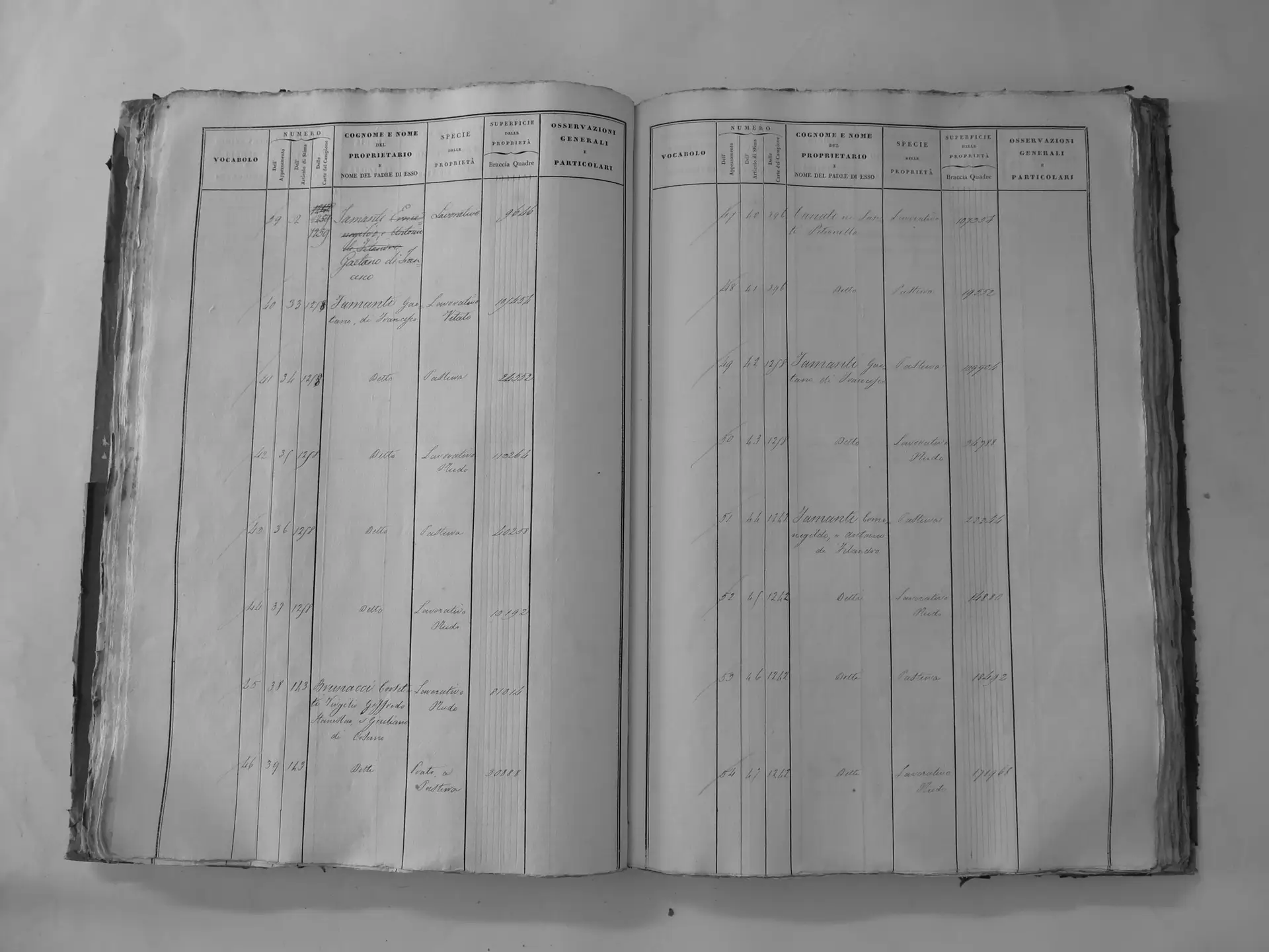
Scarnaquoja (U′)
- Tomo III p.101 (local copy, C3-0101) · CASTORE
- Tomo III p.108 (local copy, C3-0108) · CASTORE
- Tomo III p.123 (local copy, C3-0123) · CASTORE
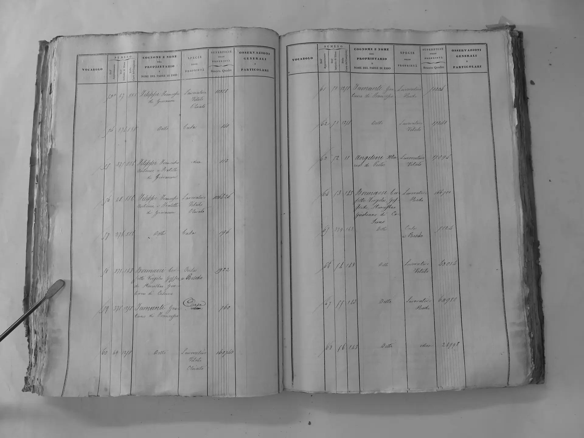
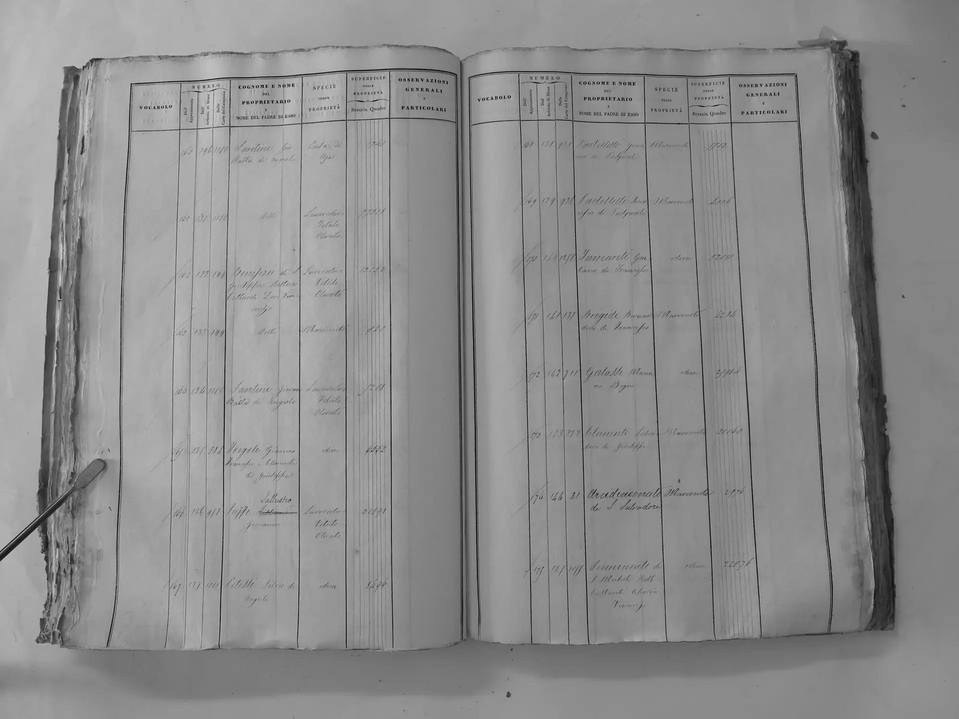
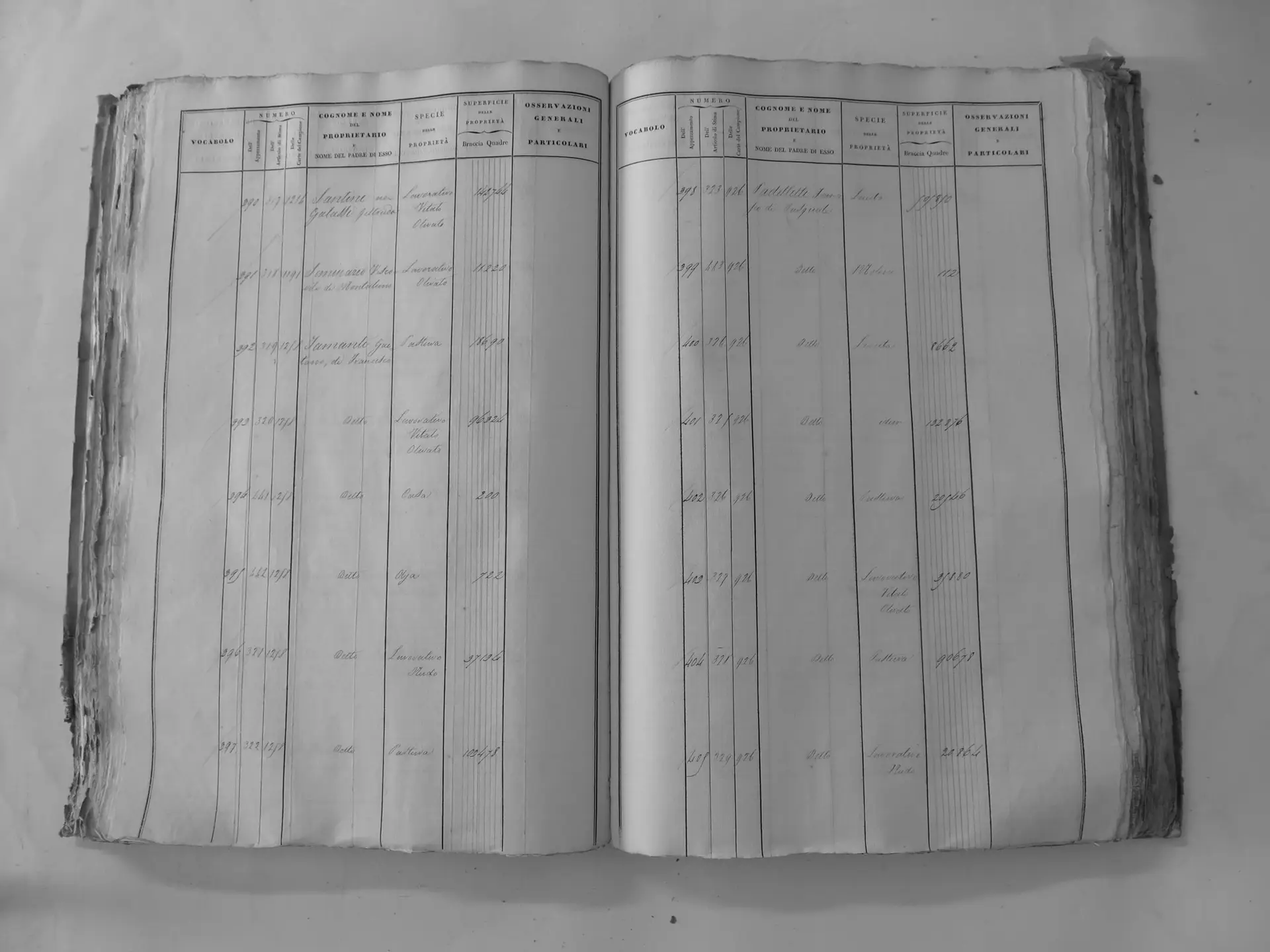
Città di Montalcino (V′) – town houses
- Tomo III p.143 (local copy, C3-0143) · CASTORE
- Tomo III p.148 (local copy, C3-0148) · CASTORE
- Tomo III p.169 (local copy, C3-0169) · CASTORE
Tamanti Ermenegildo e Antonio di Filandro (ledger 1242)
Section A
- Tomo I p.9 (local copy, E24) · CASTORE
Abbadia Ardenga (Z)
- Tomo II p.73 (local copy, C2-0073) · CASTORE
- Tomo II p.74 (local copy, C2-0074) · CASTORE
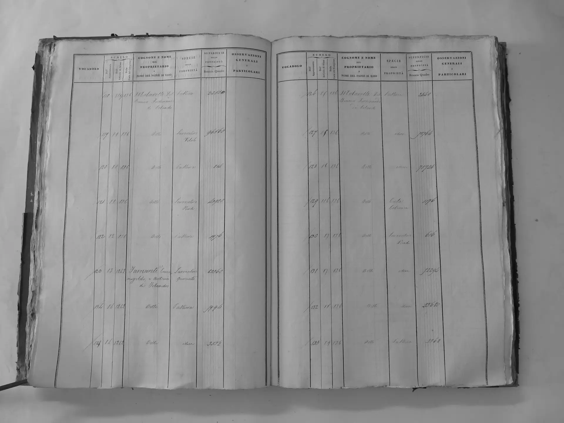
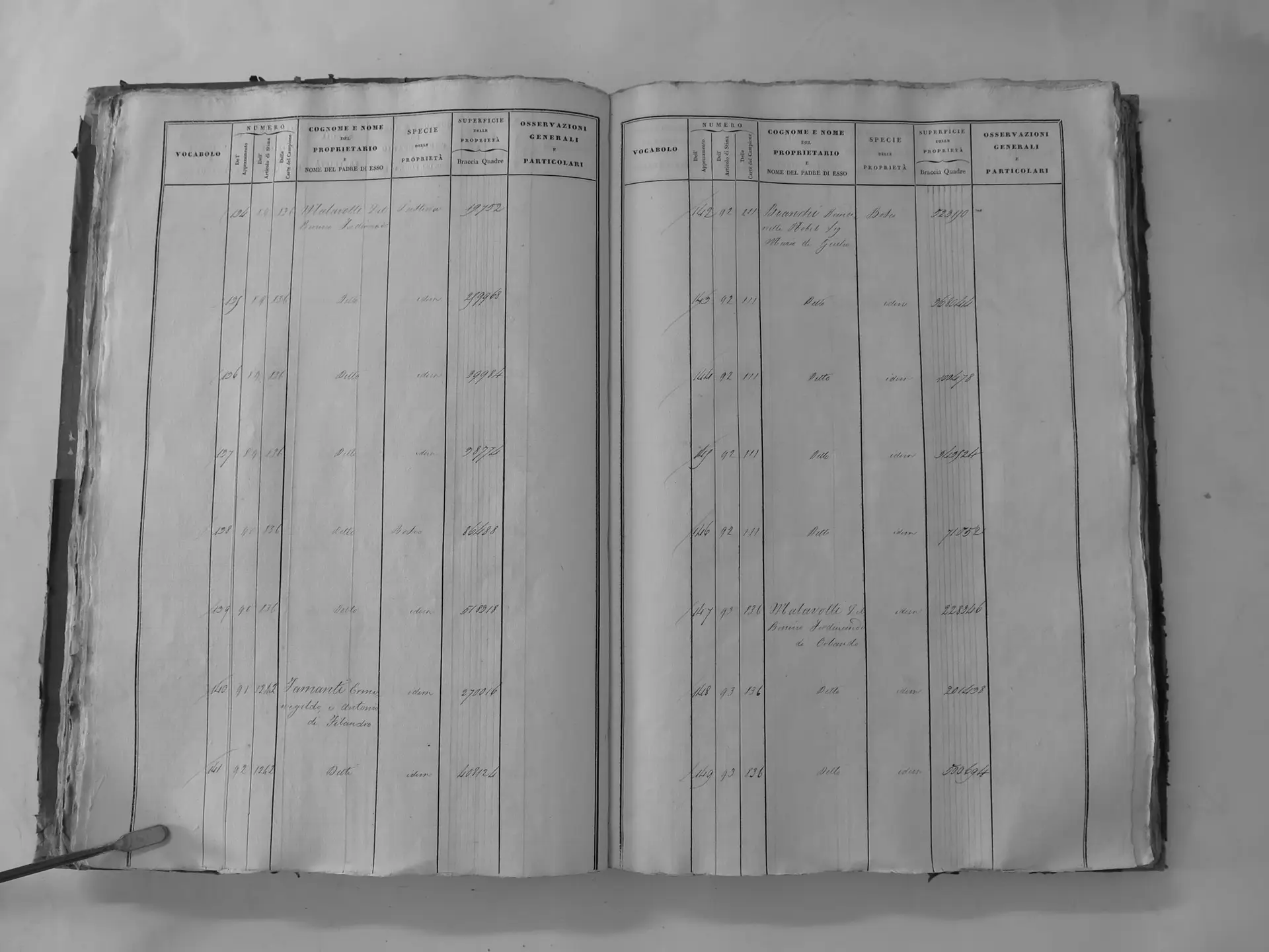
Sparampaglia (A′) – incl. mill
- Tomo II p.82 (local copy, C2-0082) · CASTORE
- Tomo II p.83 (local copy, C2-0083) · CASTORE
- Tomo II p.84 (local copy, C2-0084) · CASTORE
- Tomo II p.85 (local copy, C2-0085) · CASTORE
- Tomo II p.86 (local copy, C2-0086) · CASTORE
- Tomo II p.88 (local copy, C2-0088) · CASTORE
- Tomo II p.89 (local copy, C2-0089) · CASTORE
- Tomo II p.90 (local copy, C2-0090) · CASTORE
- Tomo II p.91 (local copy, C2-0091) · CASTORE
- Tomo II p.93 (local copy, C2-0093) · CASTORE
- Tomo II p.94 (local copy, C2-0094) · CASTORE
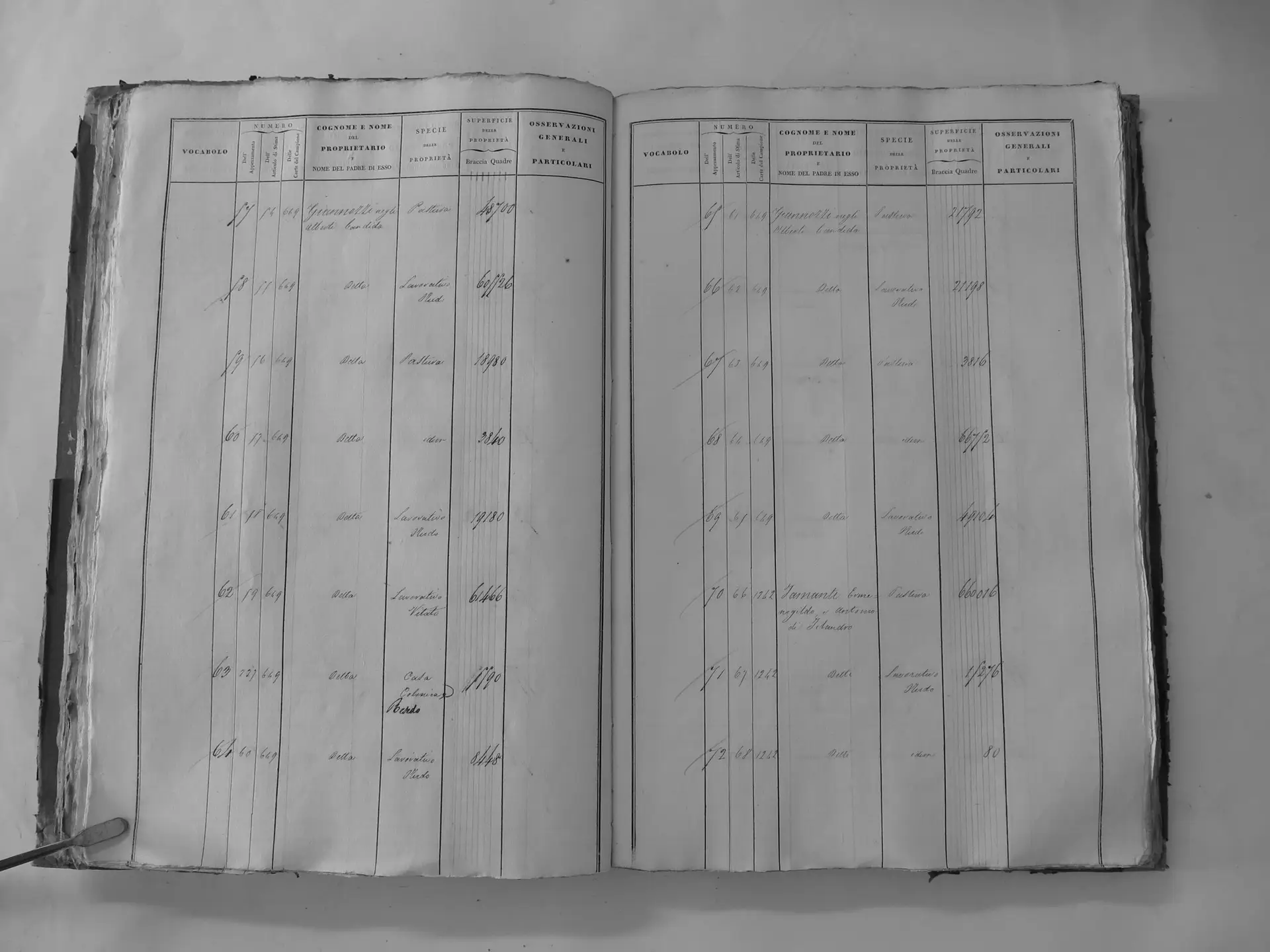
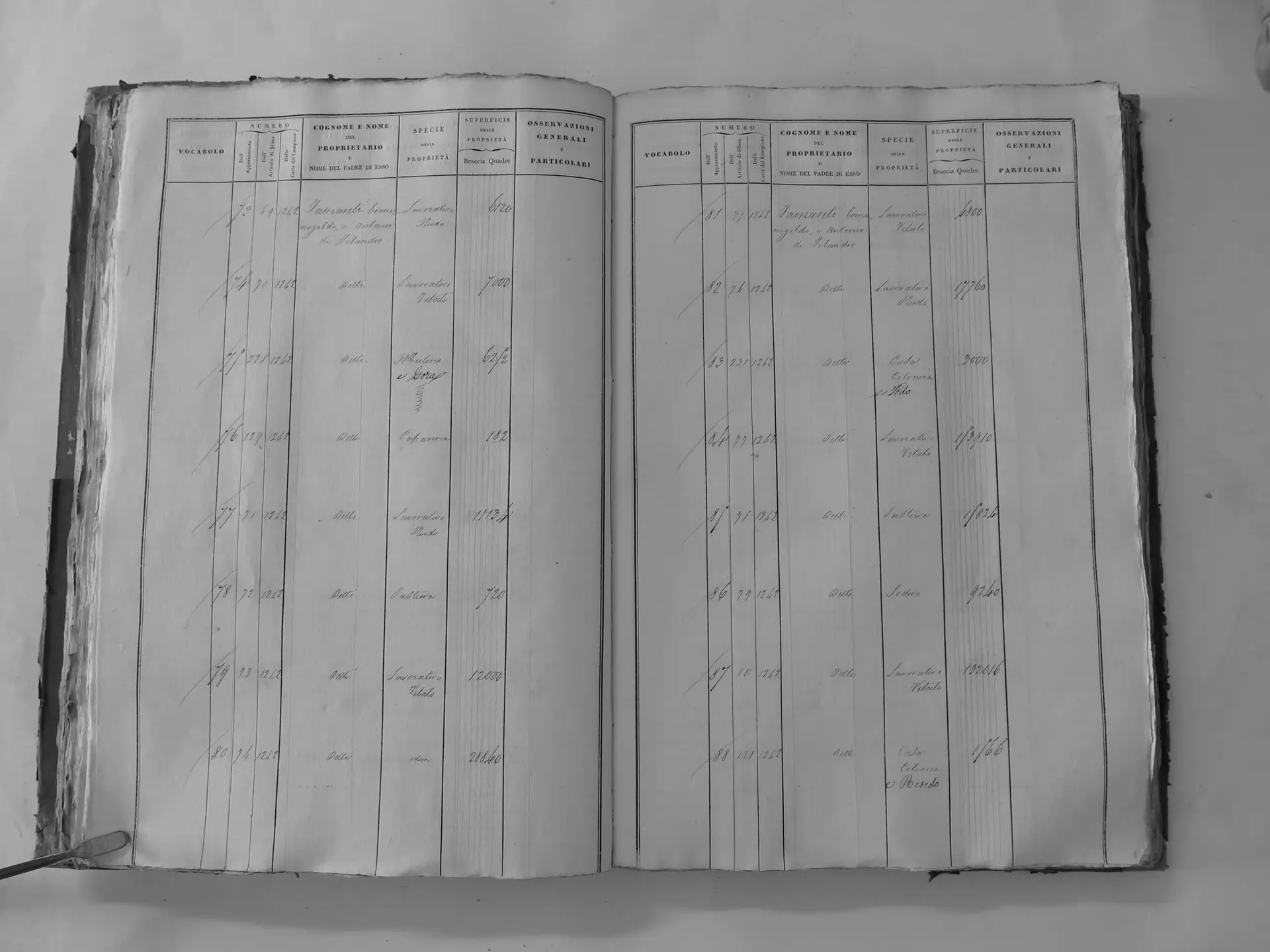
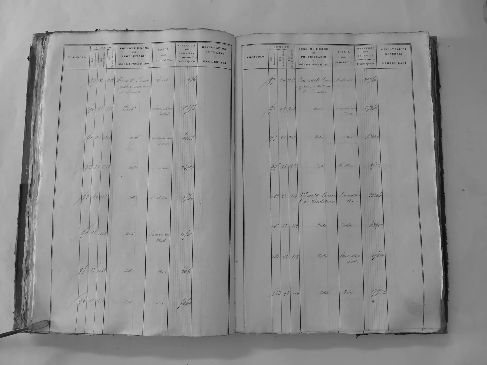
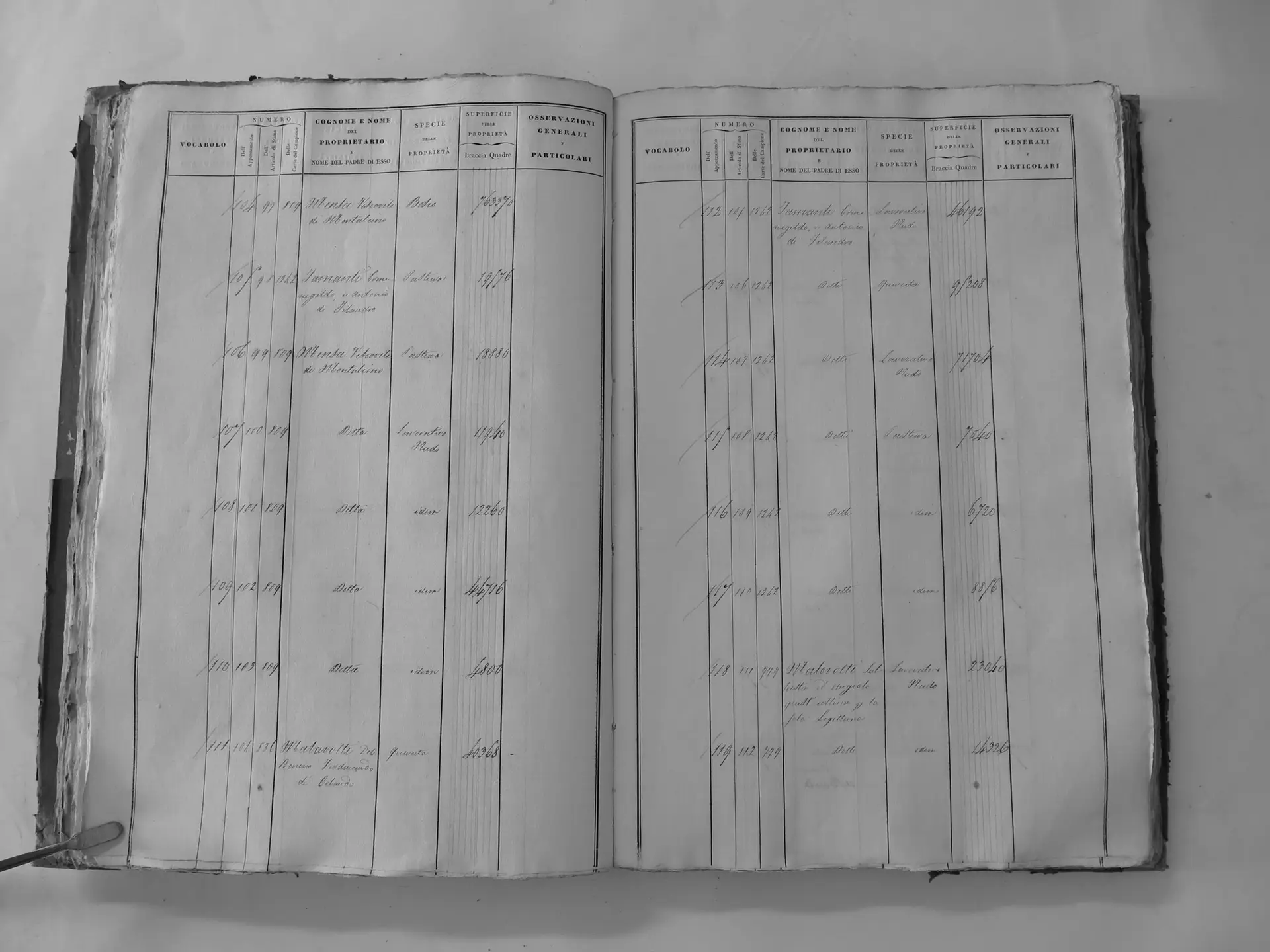
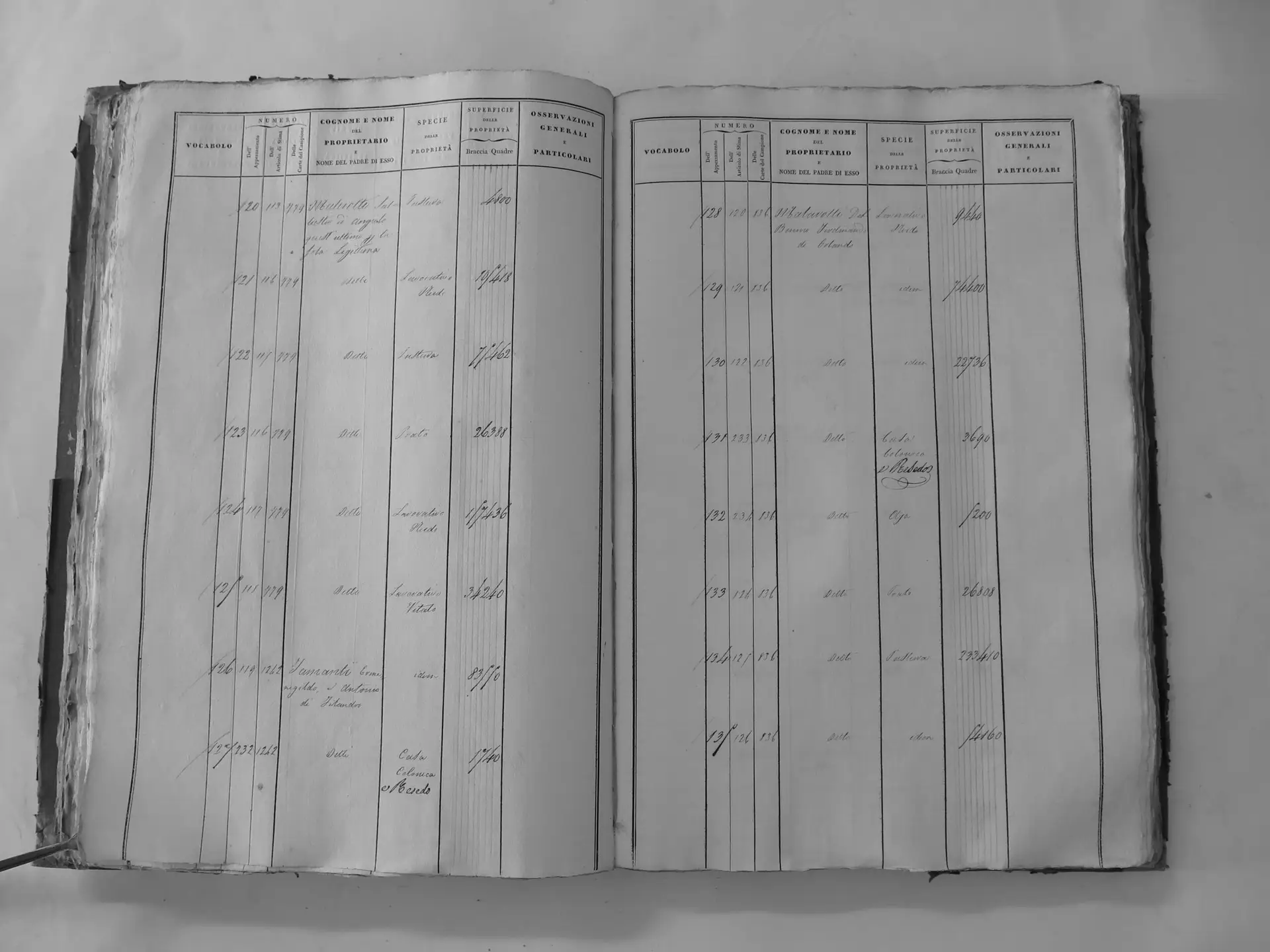
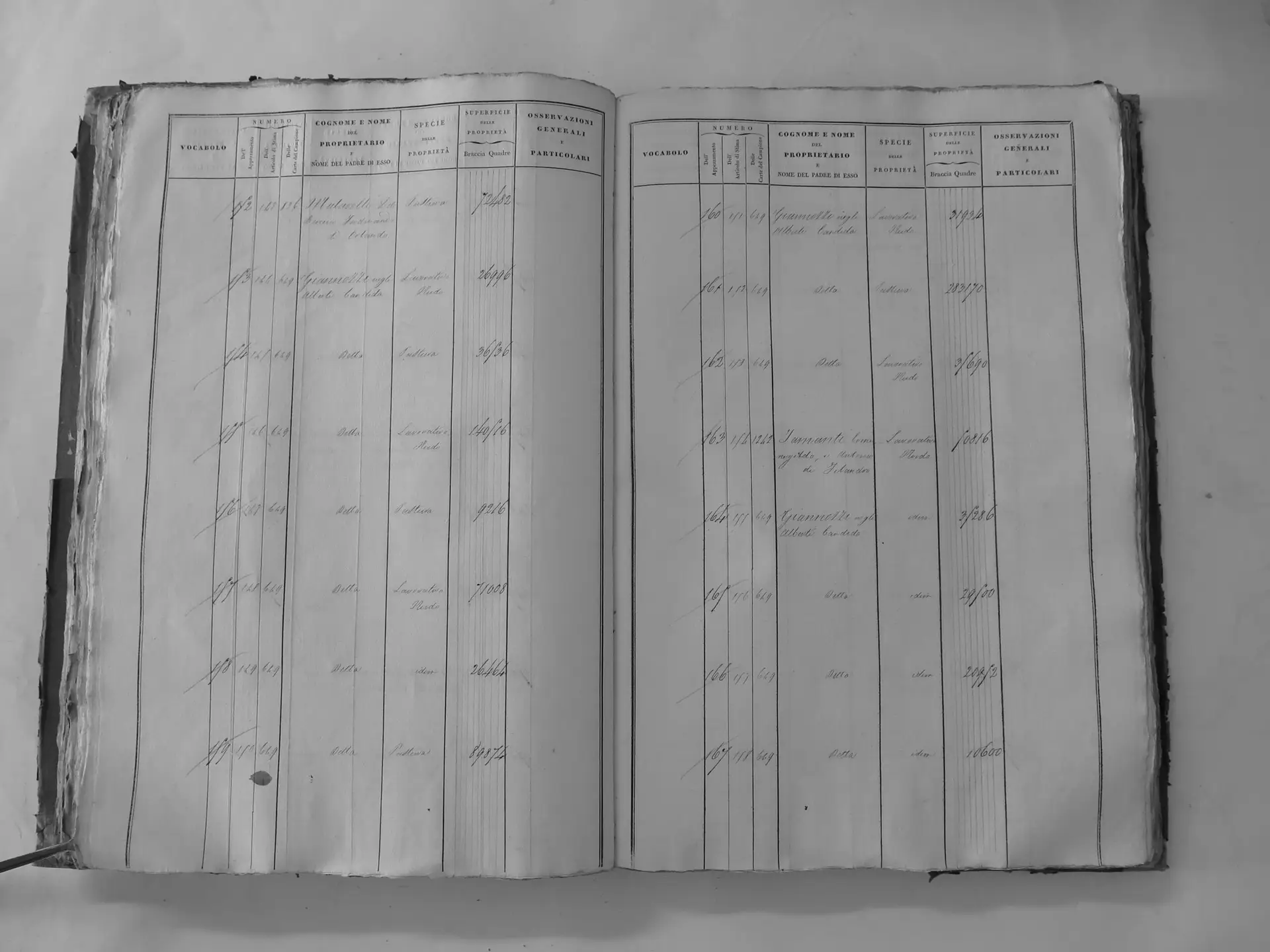
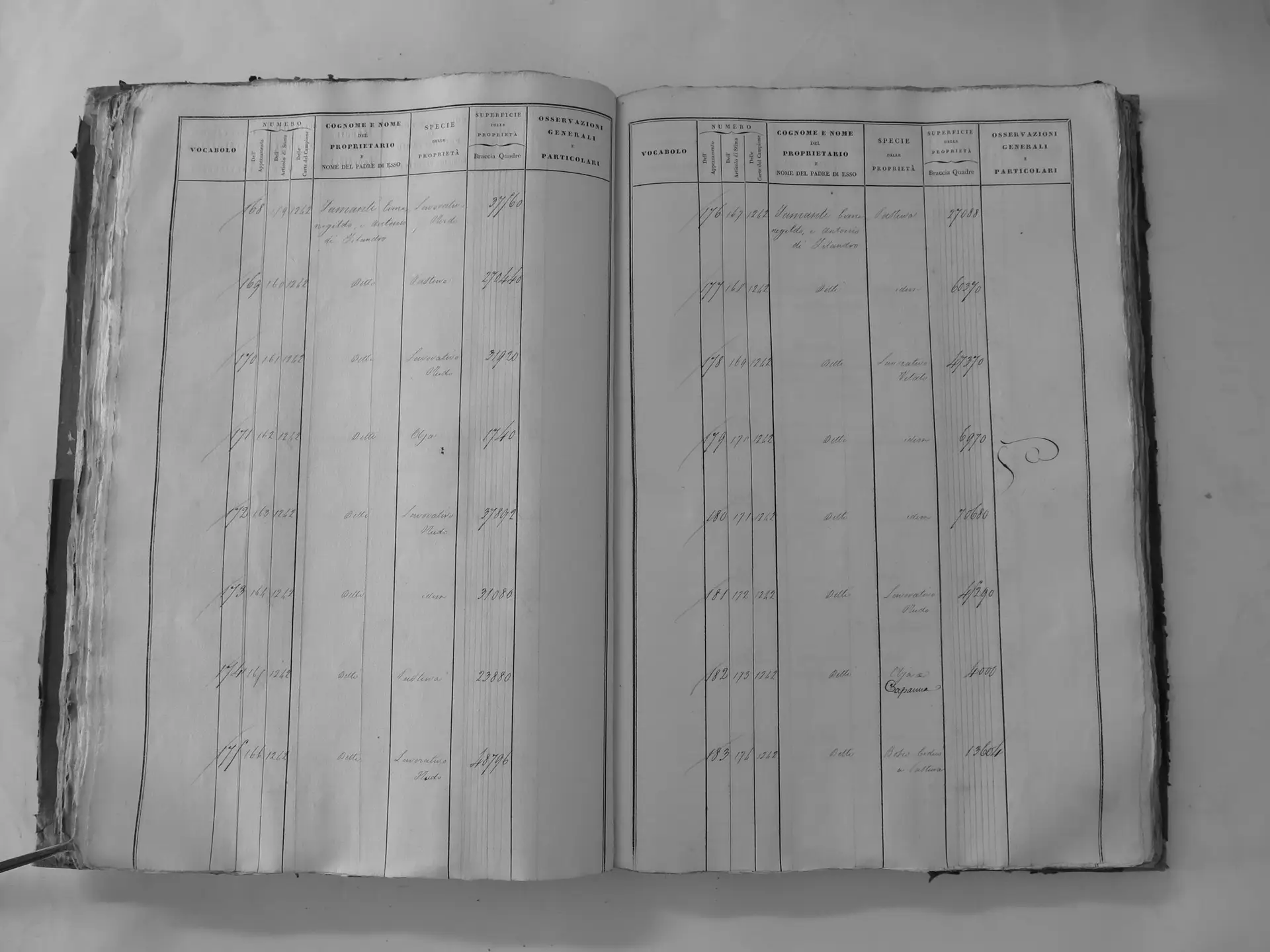
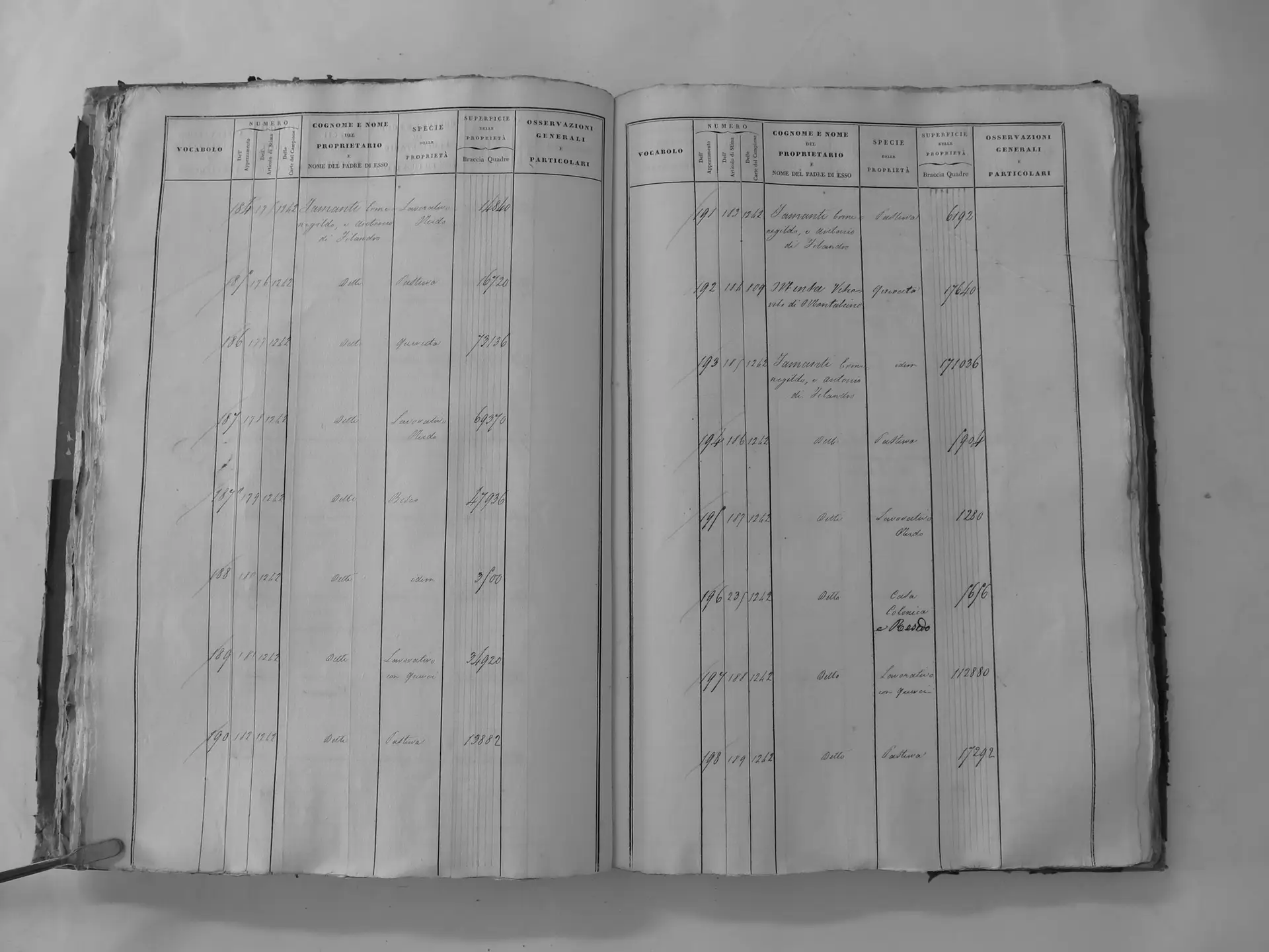
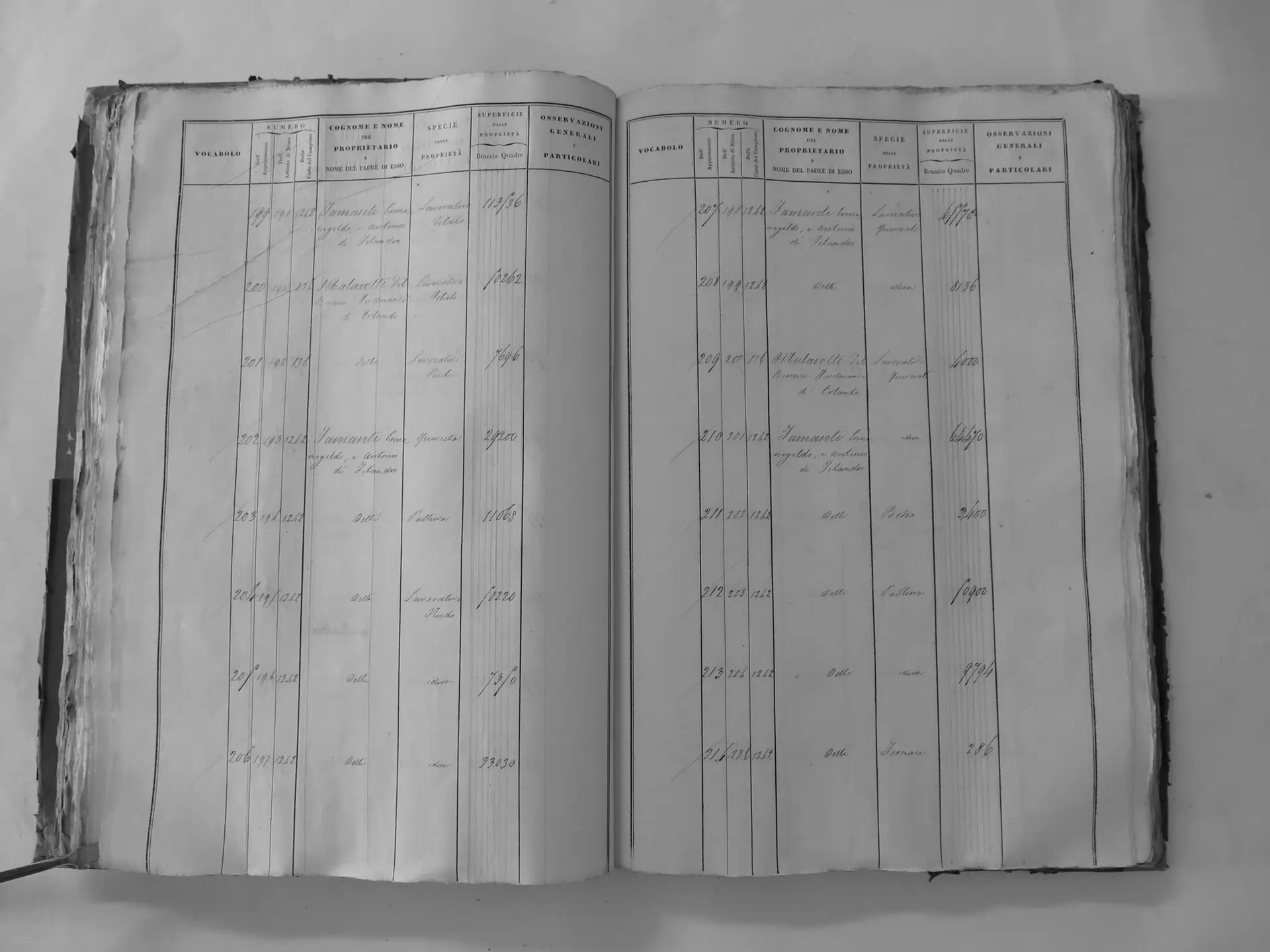
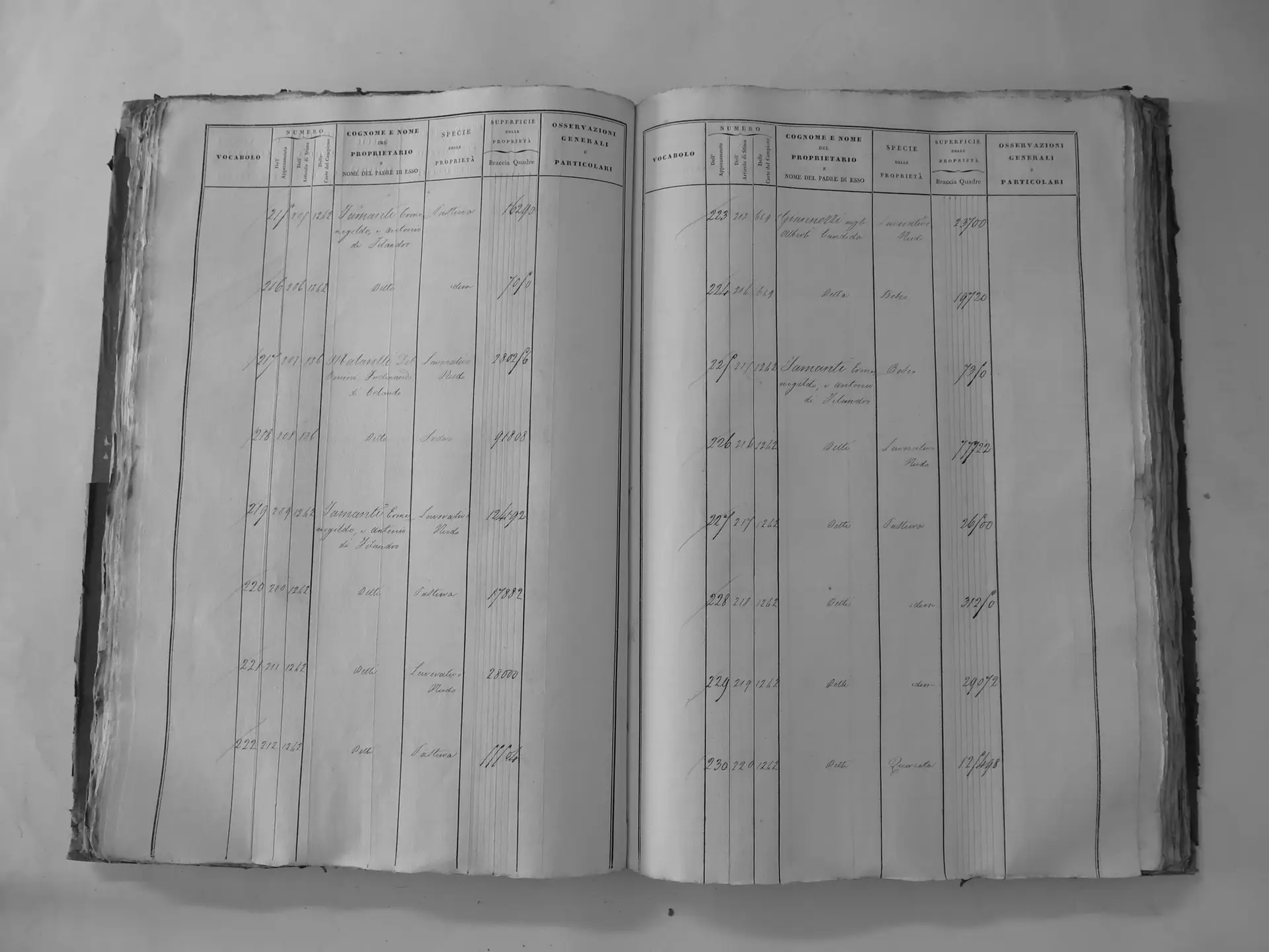
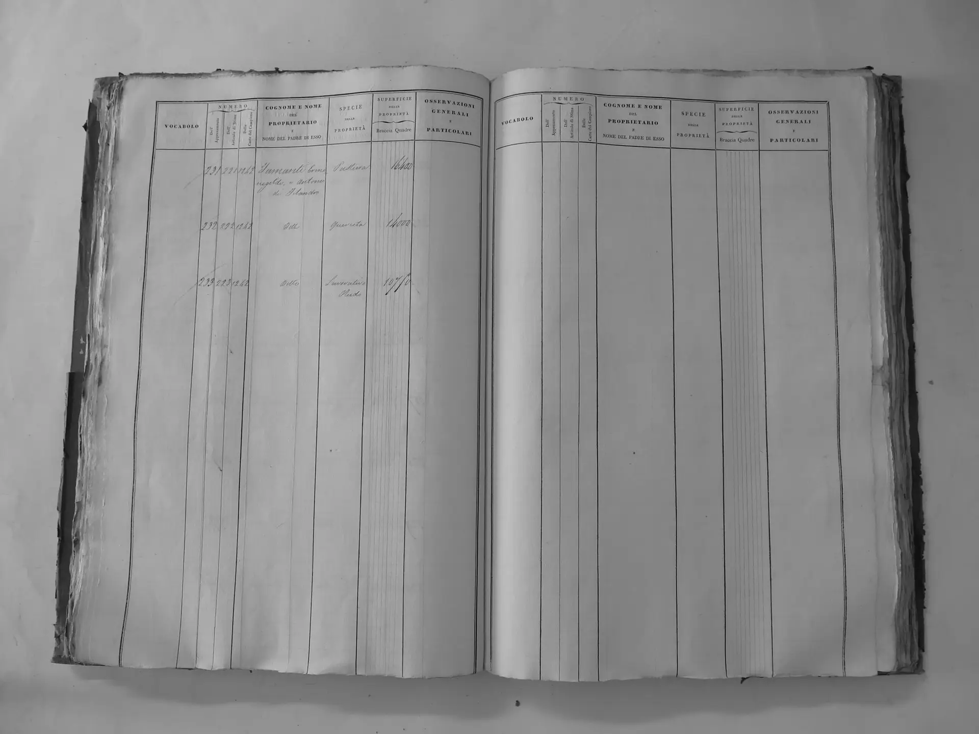
Montosoli (B′)
- Tomo II p.99 (local copy, C2-0099) · CASTORE
- Tomo II p.100 (local copy, C2-0100) · CASTORE
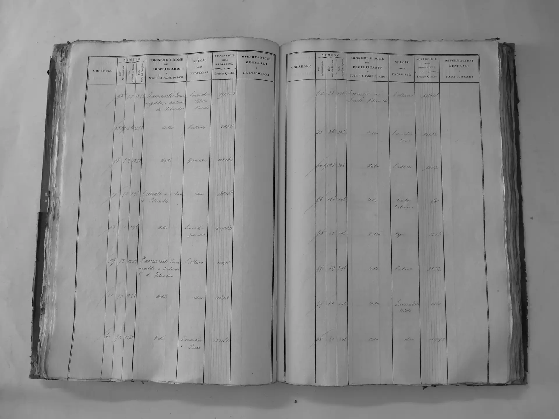
Pelagrilli (C′)
- Tomo II p.110 (local copy, C2-0110) · CASTORE
- Tomo II p.111 (local copy, C2-0111) · CASTORE
- Tomo II p.112 (local copy, C2-0112) · CASTORE
- Tomo II p.113 (local copy, C2-0113) · CASTORE
- Tomo II p.114 (local copy, C2-0114) · CASTORE
- Tomo II p.116 (local copy, C2-0116) · CASTORE
- Tomo II p.117 (local copy, C2-0117) · CASTORE
- Tomo II p.118 (local copy, C2-0118) · CASTORE
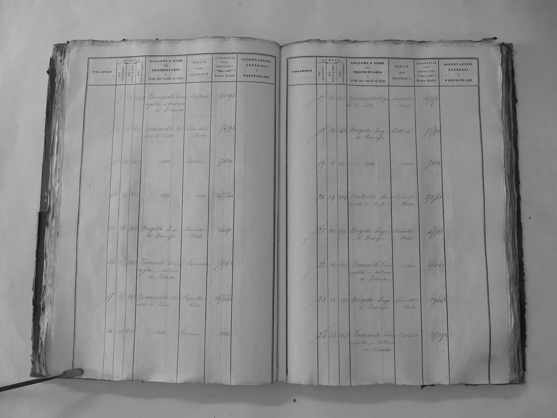
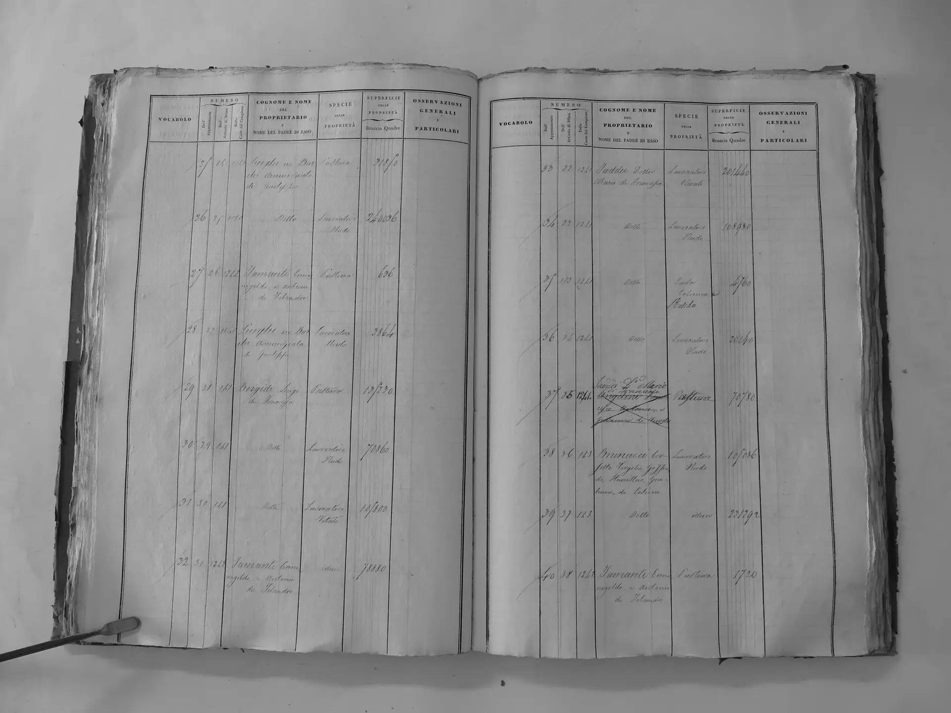
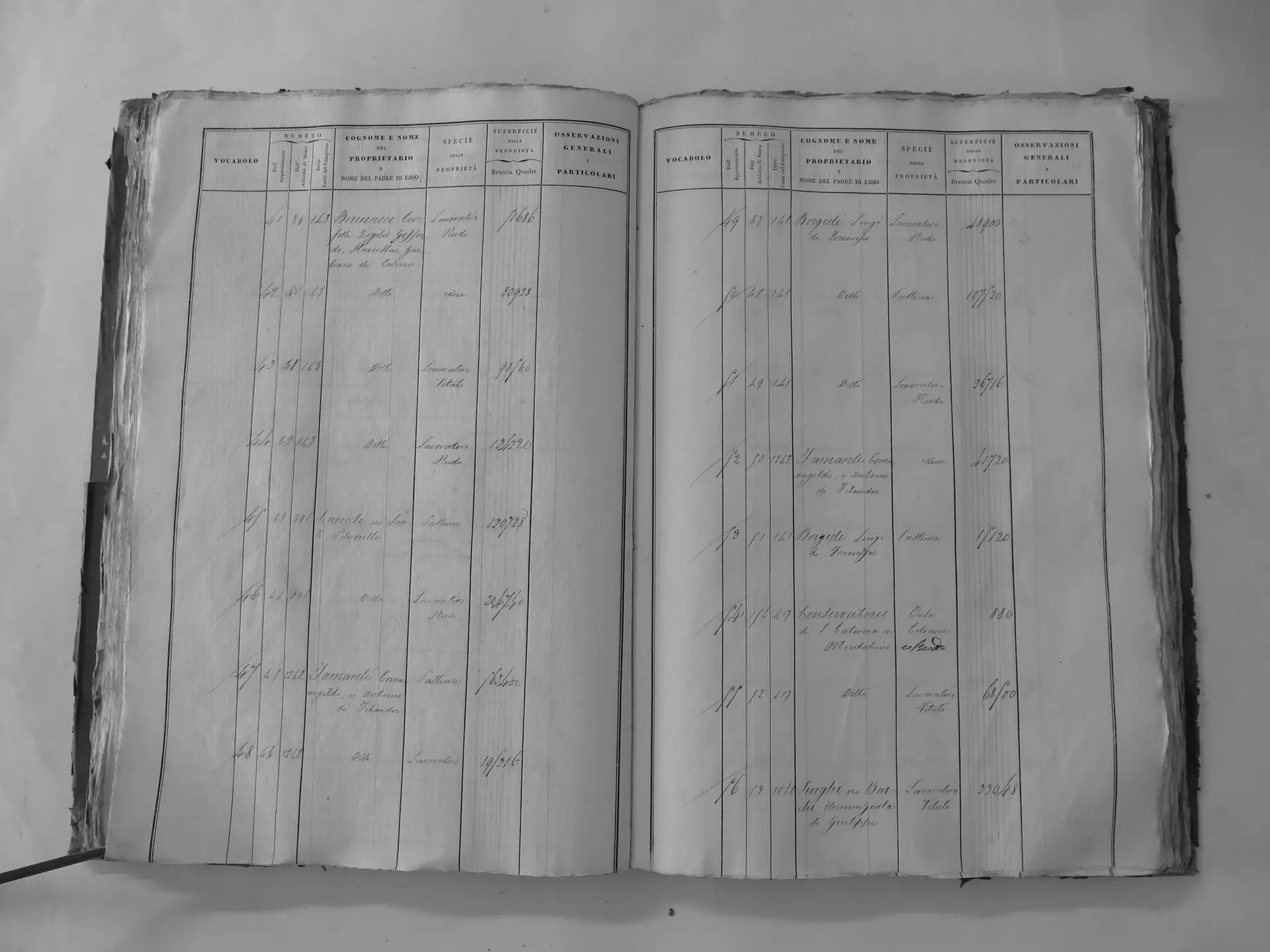
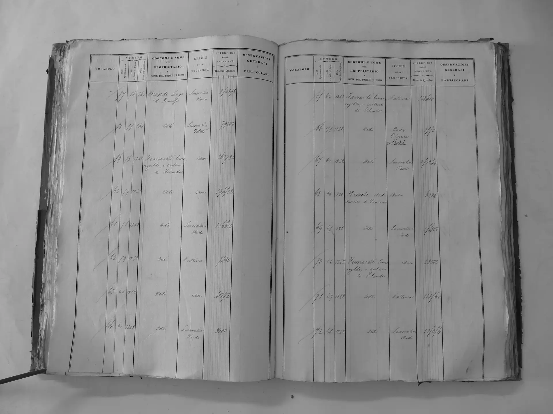
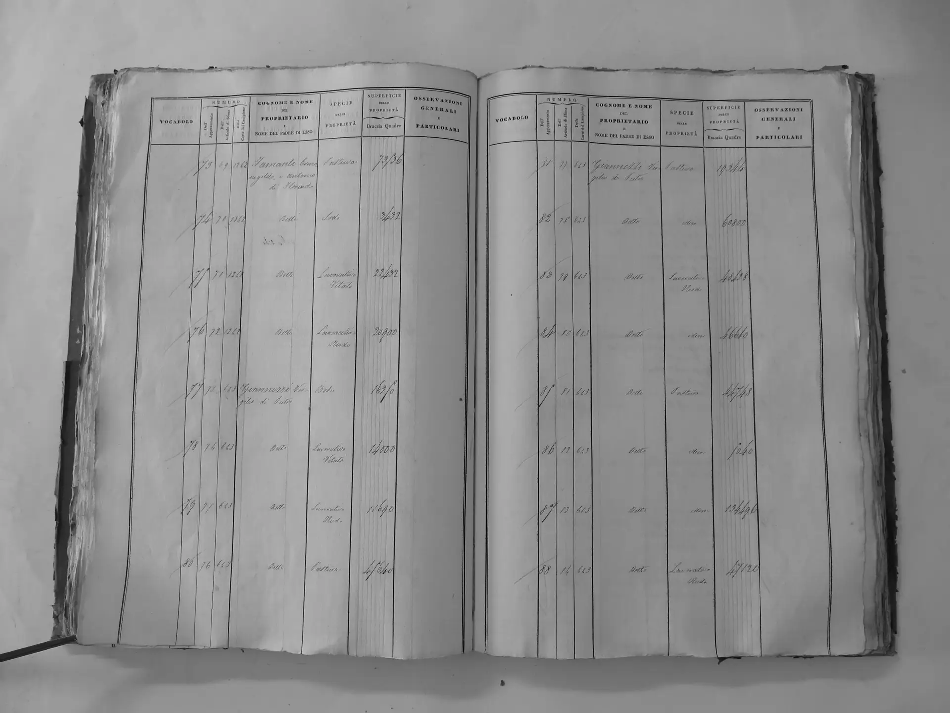
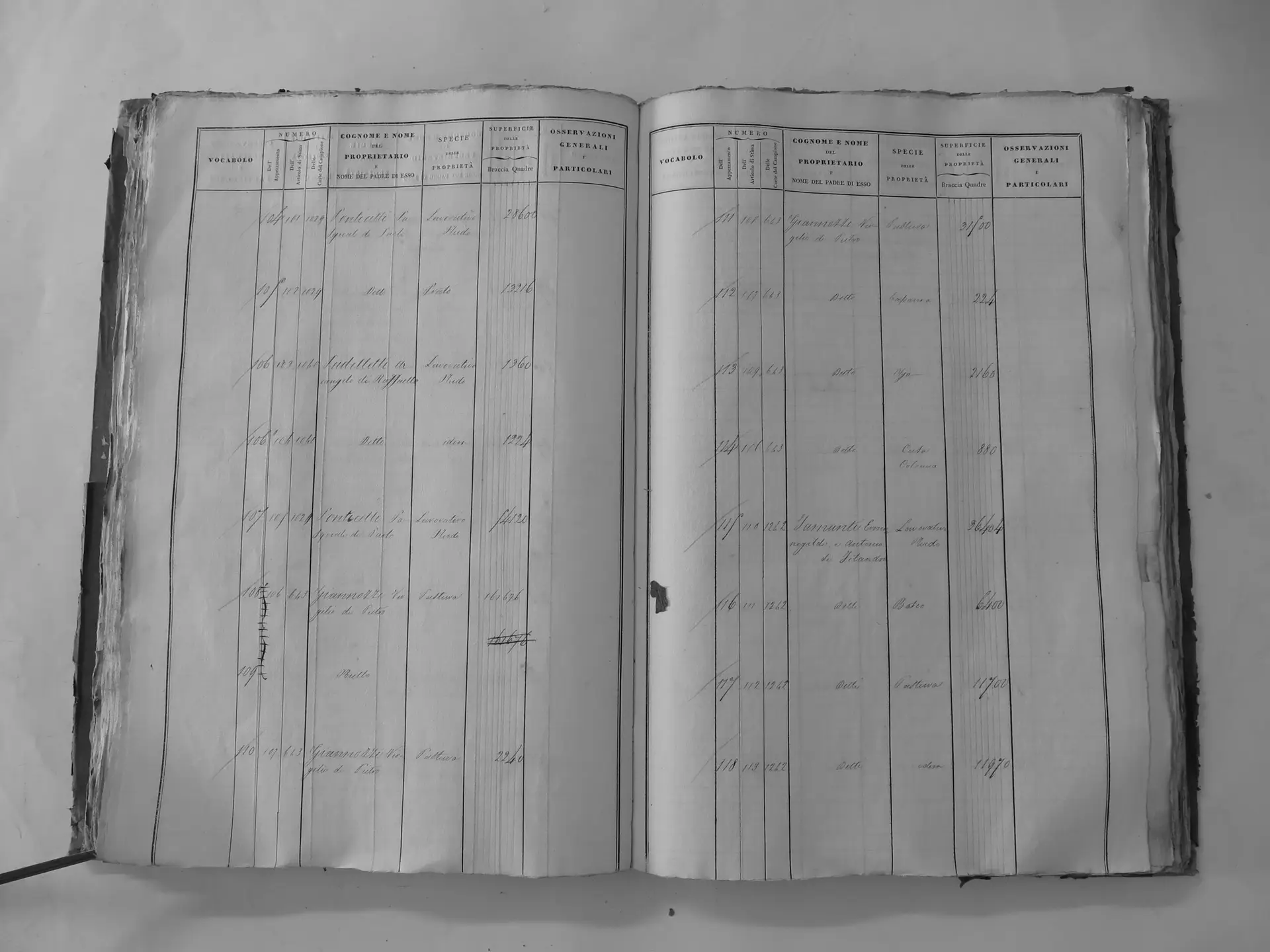
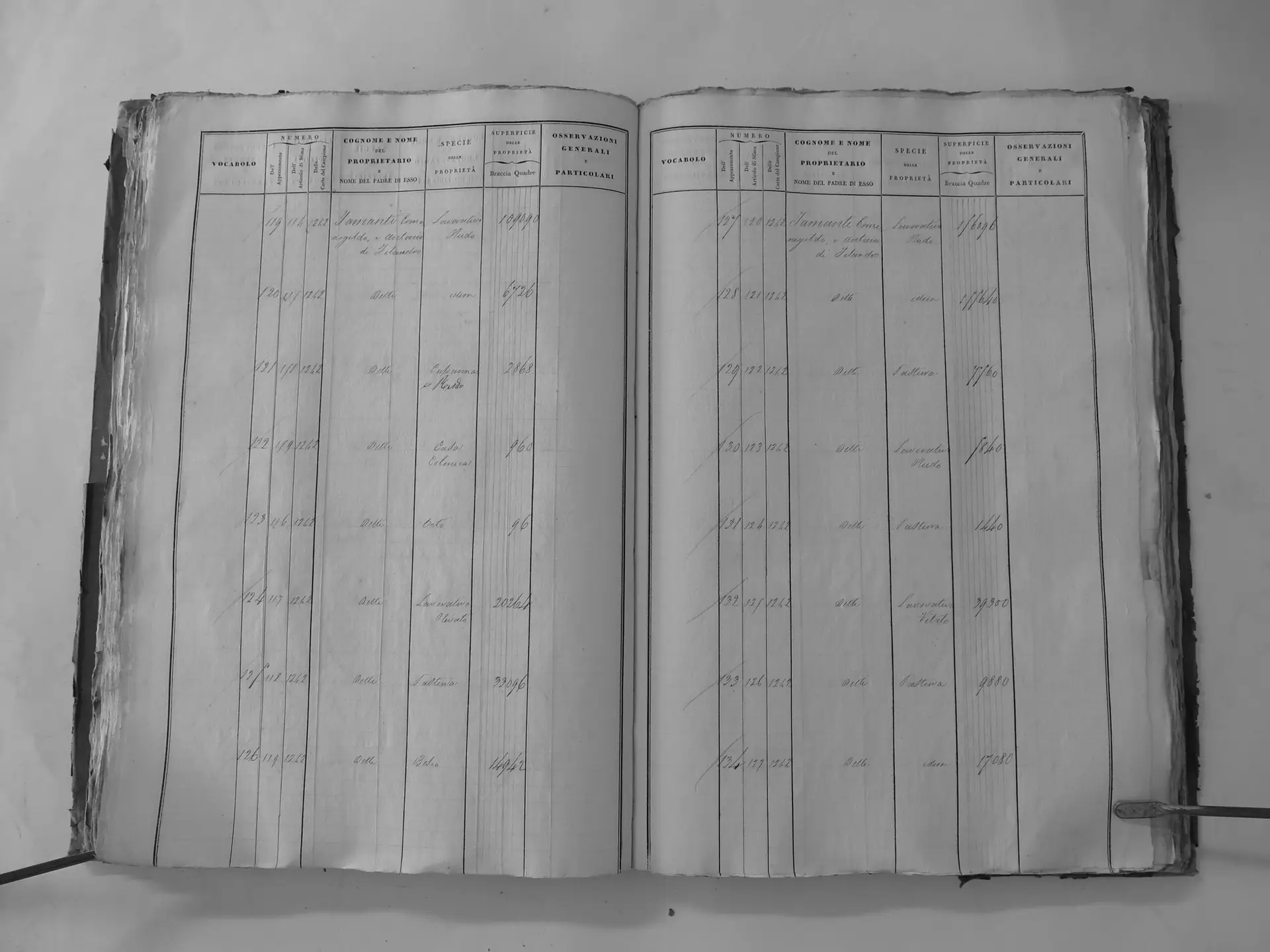
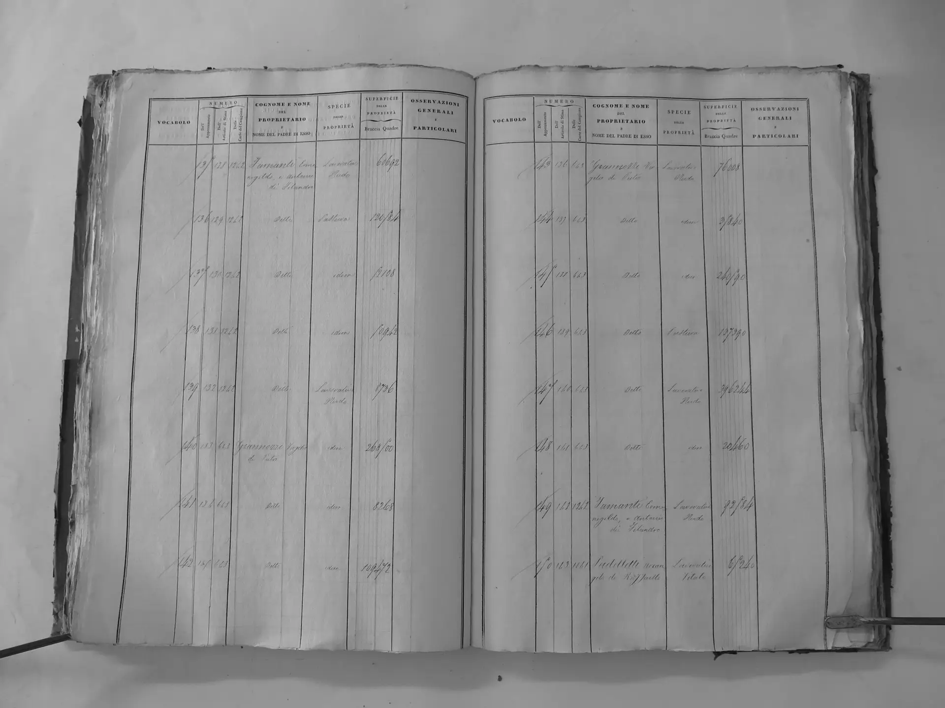
Osservanza (F′) – incl. chapel & house
- Tomo II p.142 (local copy, C2-0142) · CASTORE
- Tomo II p.143 (local copy, C2-0143) · CASTORE
- Tomo II p.150 (local copy, C2-0150) · CASTORE
- Tomo II p.151 (local copy, C2-0151) · CASTORE
- Tomo II p.152 (local copy, C2-0152) · CASTORE
- Tomo II p.153 (local copy, C2-0153) · CASTORE
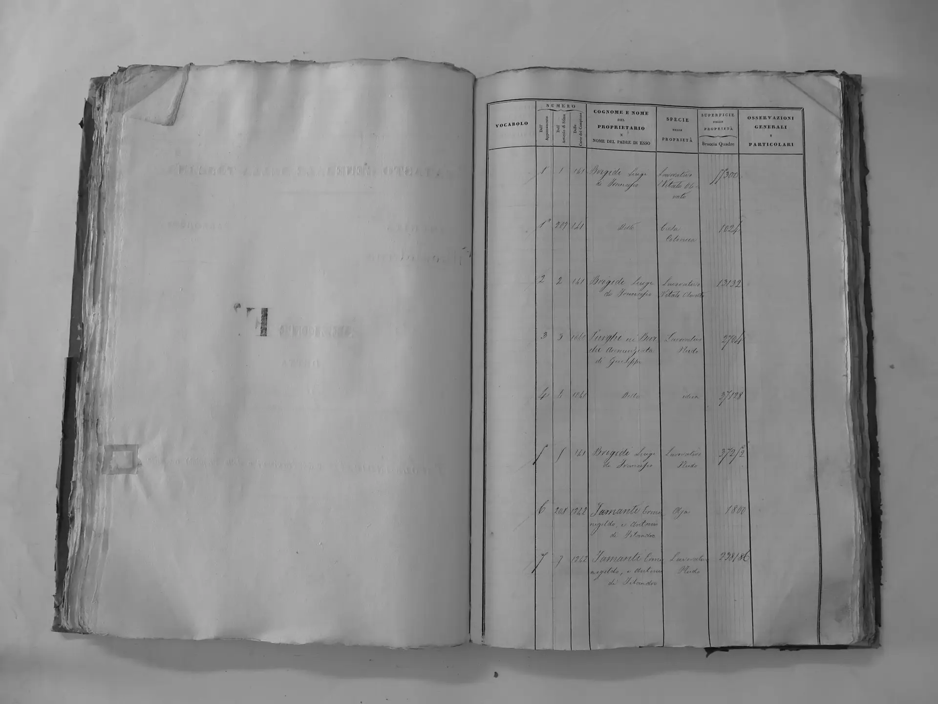
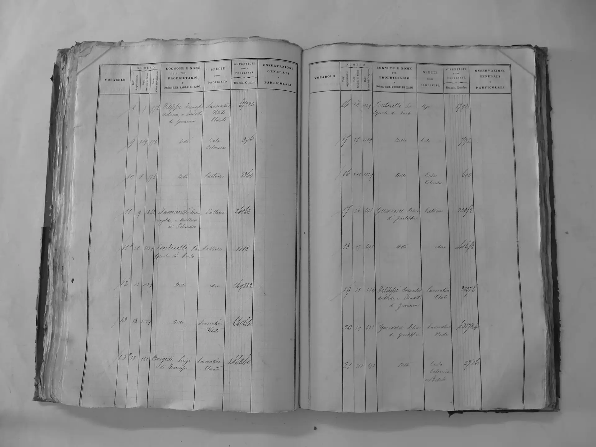
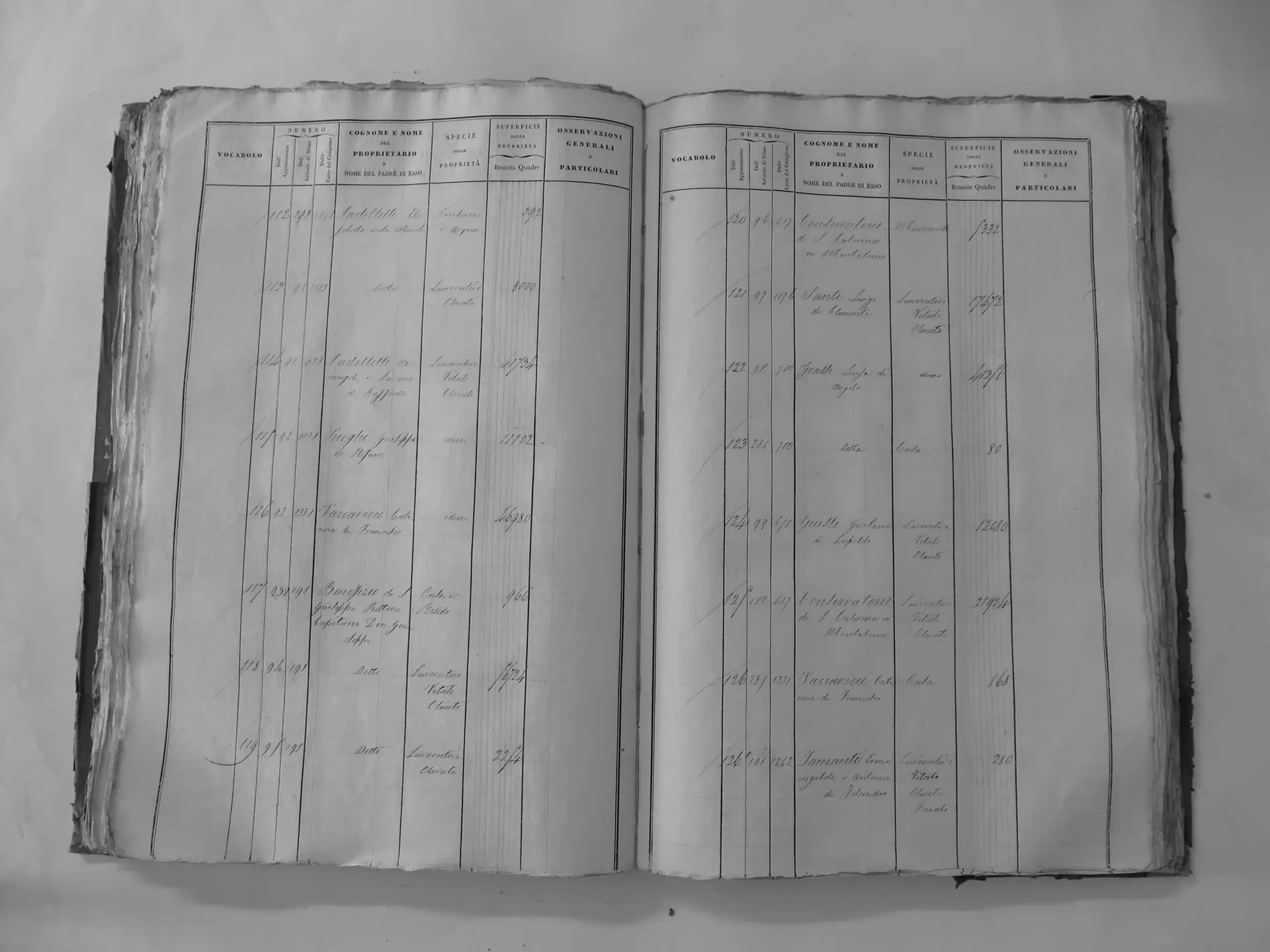
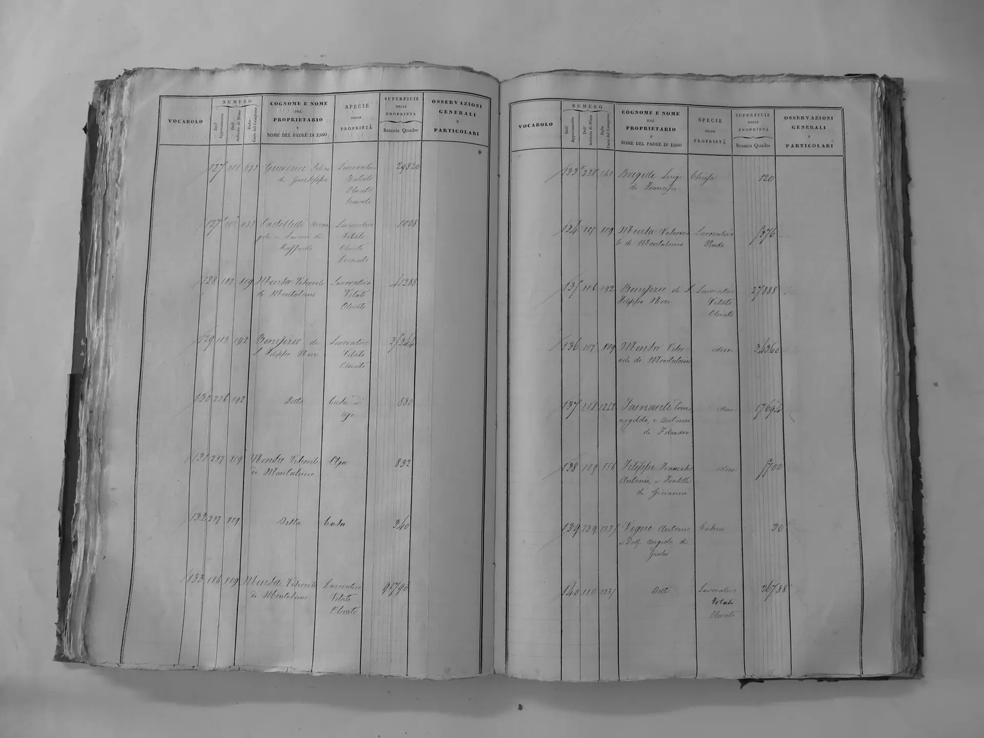
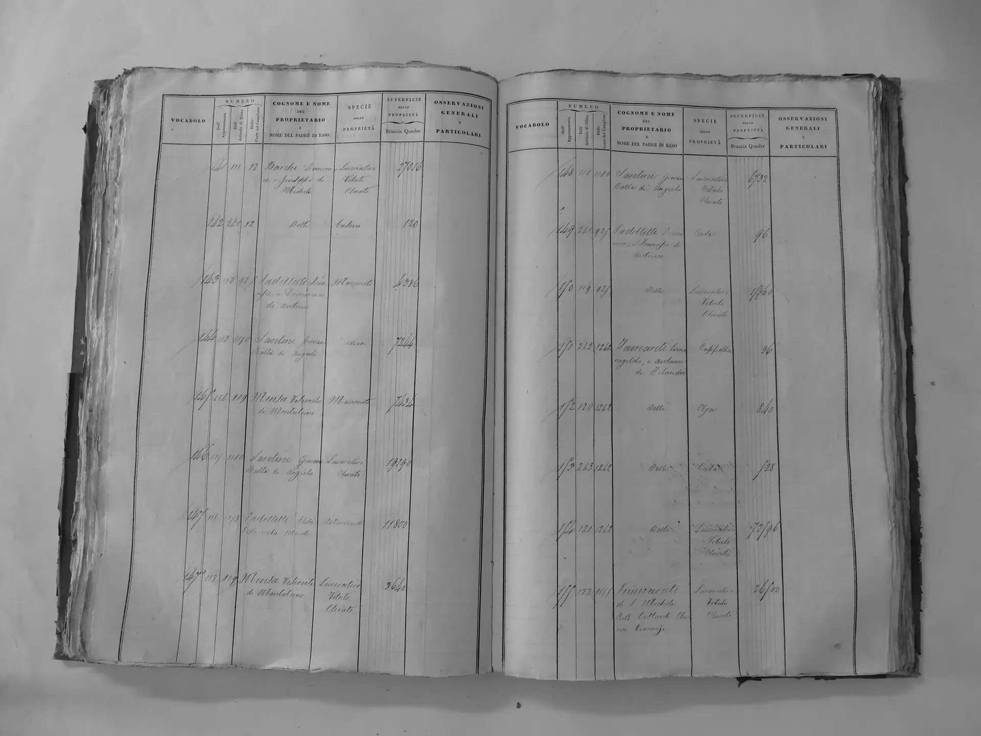
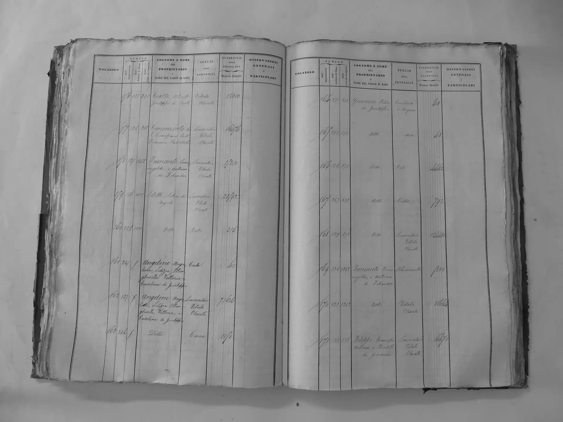
Romitorio (T′) – two chapels
- Tomo III p.90 (local copy, C3-0090) · CASTORE
- Tomo III p.91 (local copy, C3-0091) · CASTORE
- Tomo III p.92 (local copy, C3-0092) · CASTORE
- Tomo III p.93 (local copy, C3-0093) · CASTORE
- Tomo III p.94 (local copy, C3-0094) · CASTORE
- Tomo III p.95 (local copy, C3-0095) · CASTORE
- Tomo III p.96 (local copy, C3-0096) · CASTORE
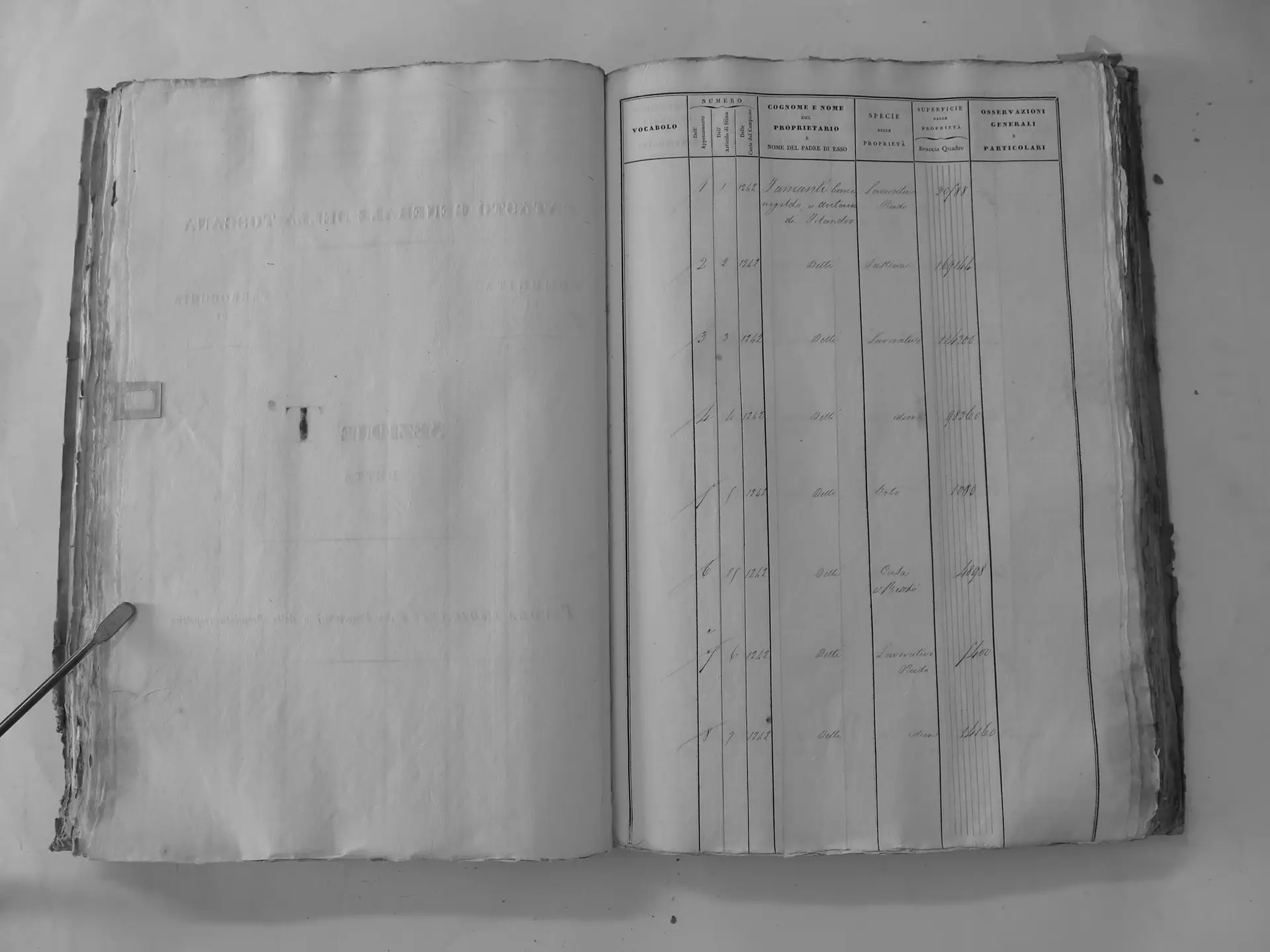
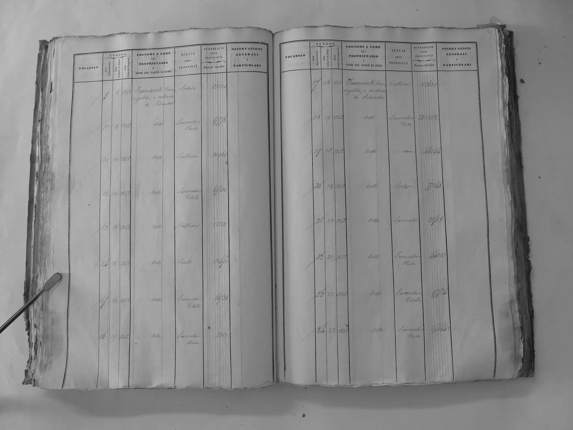
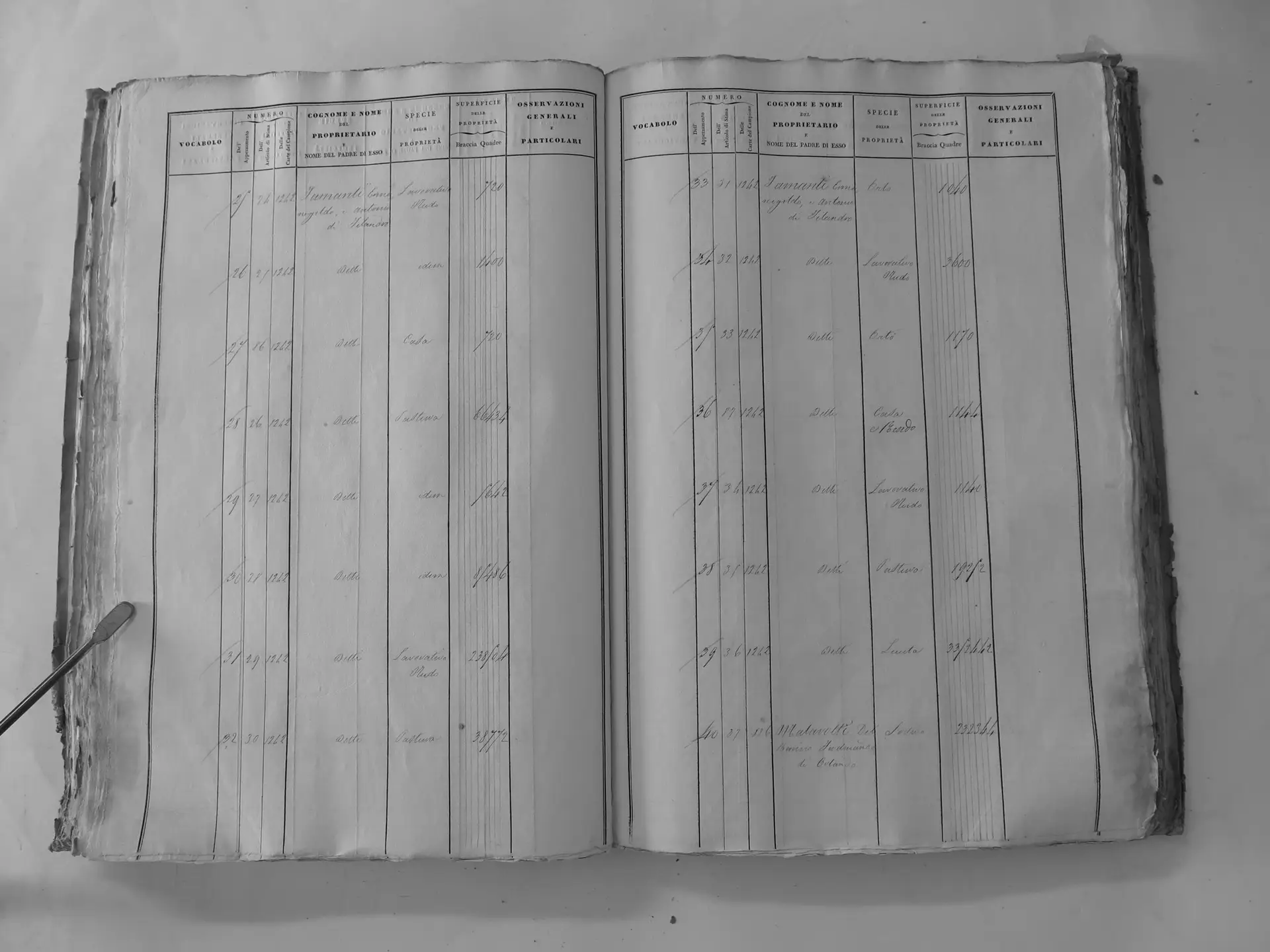
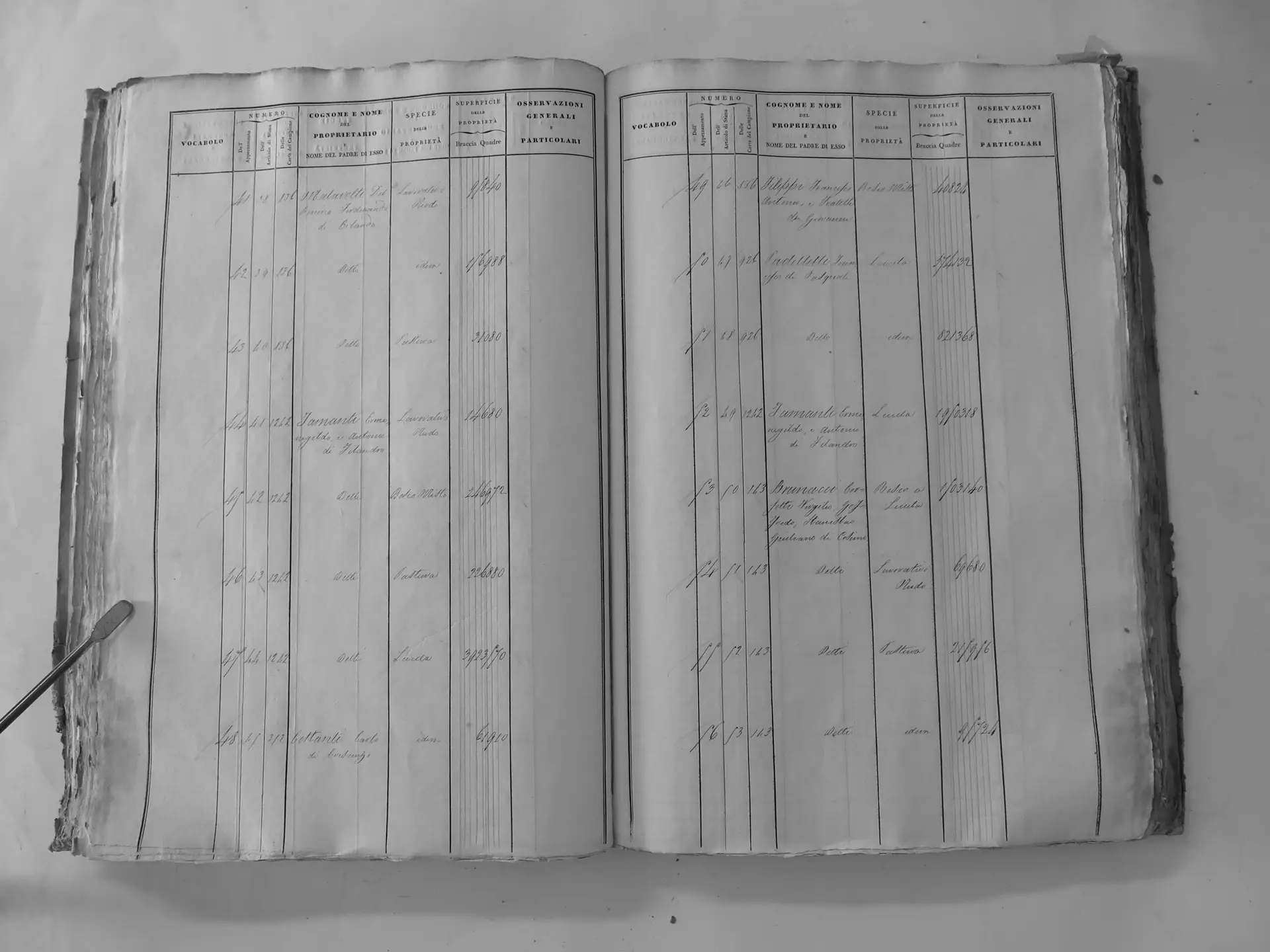
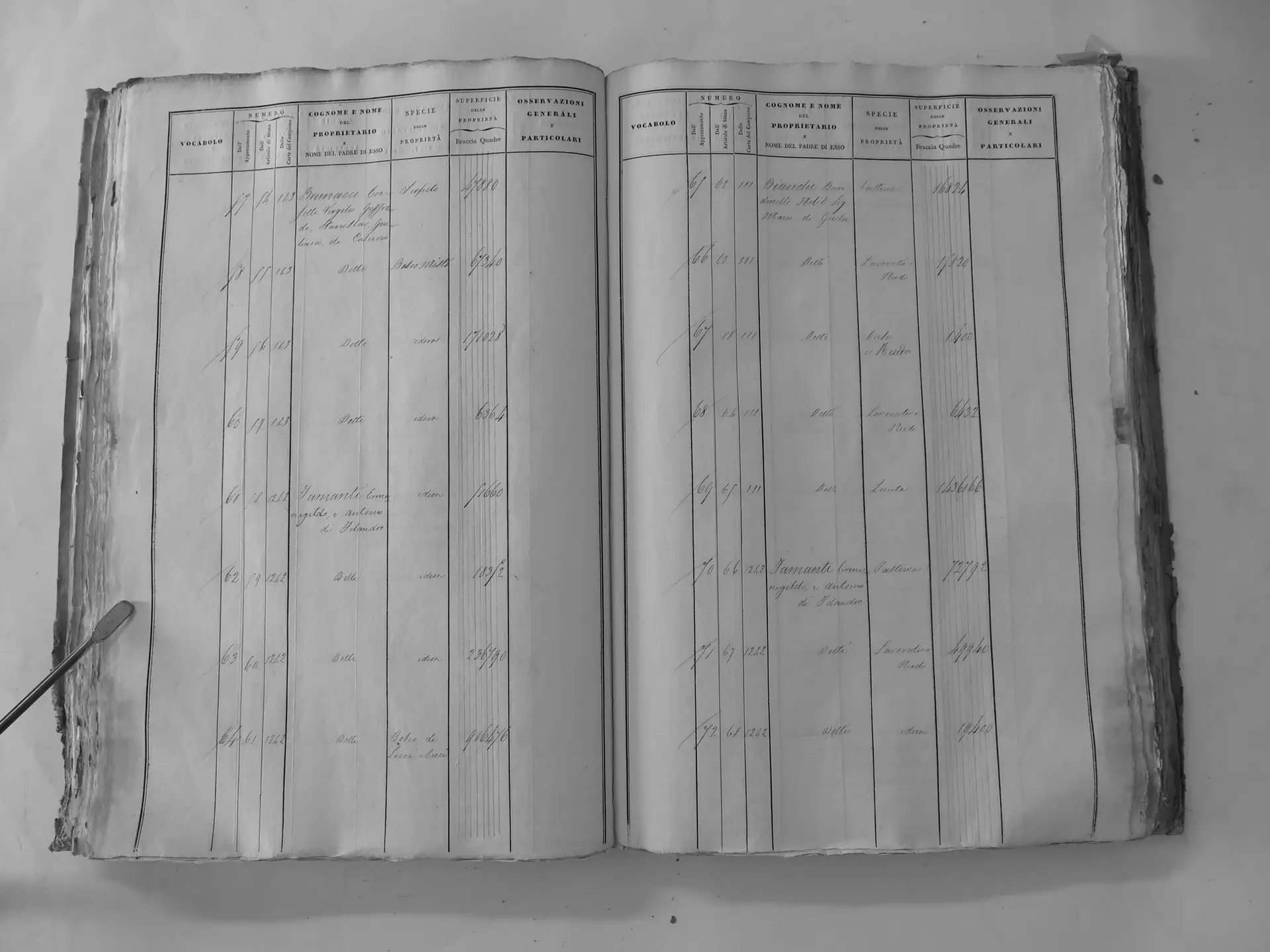
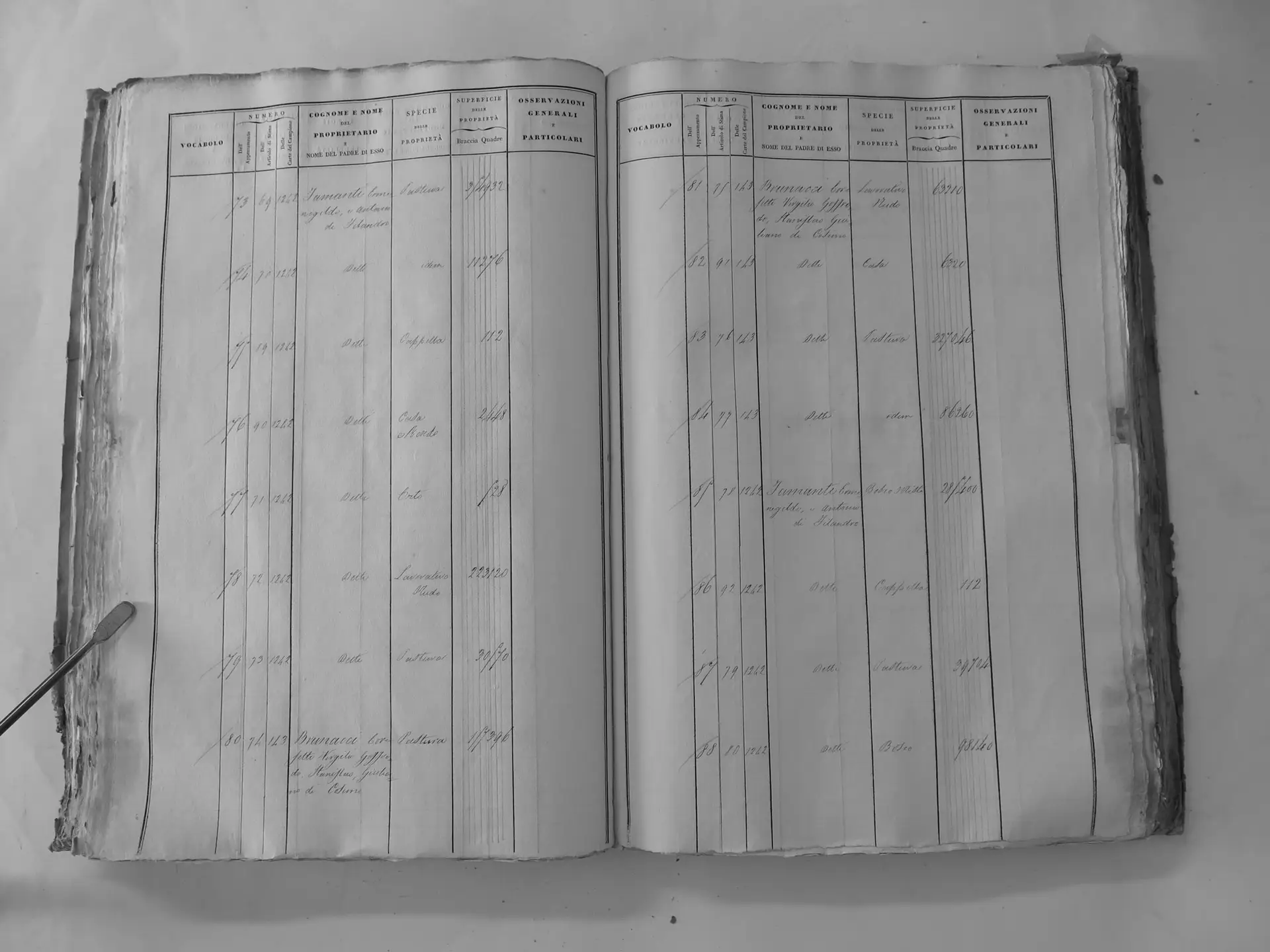
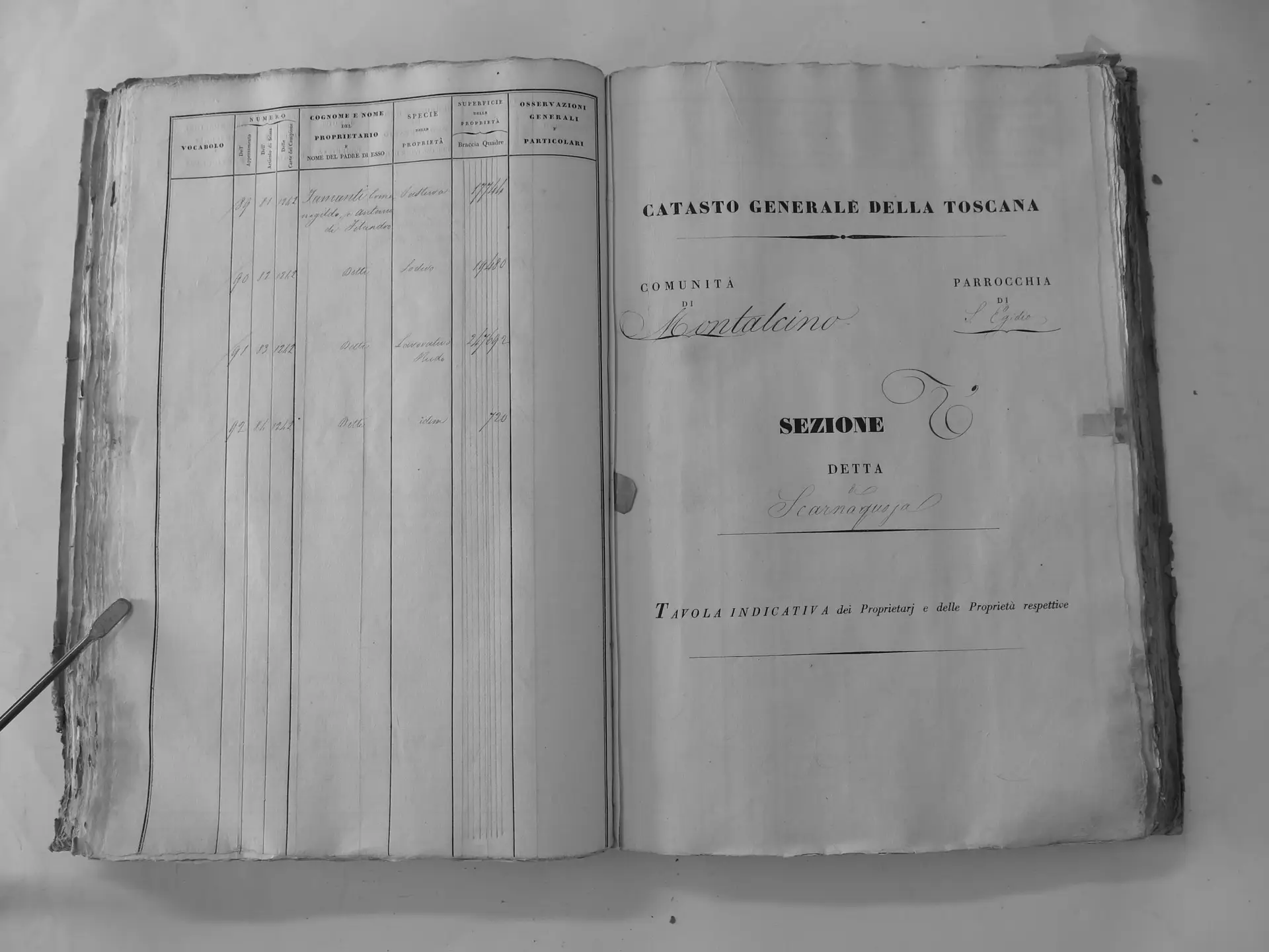
Scarnaquoja (U′)
- Tomo III p.102 (local copy, C3-0102) · CASTORE
- Tomo III p.103 (local copy, C3-0103) · CASTORE
- Tomo III p.115 (local copy, C3-0115) · CASTORE
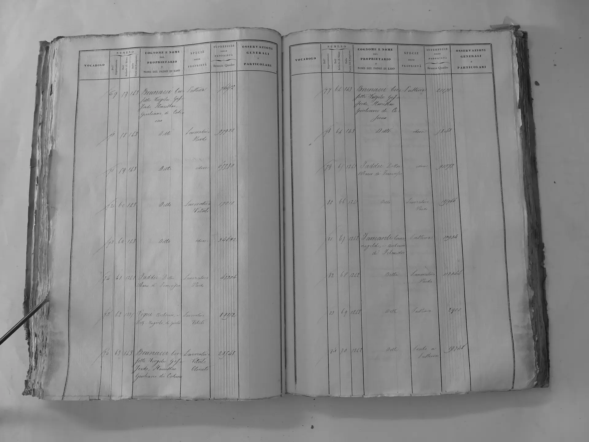
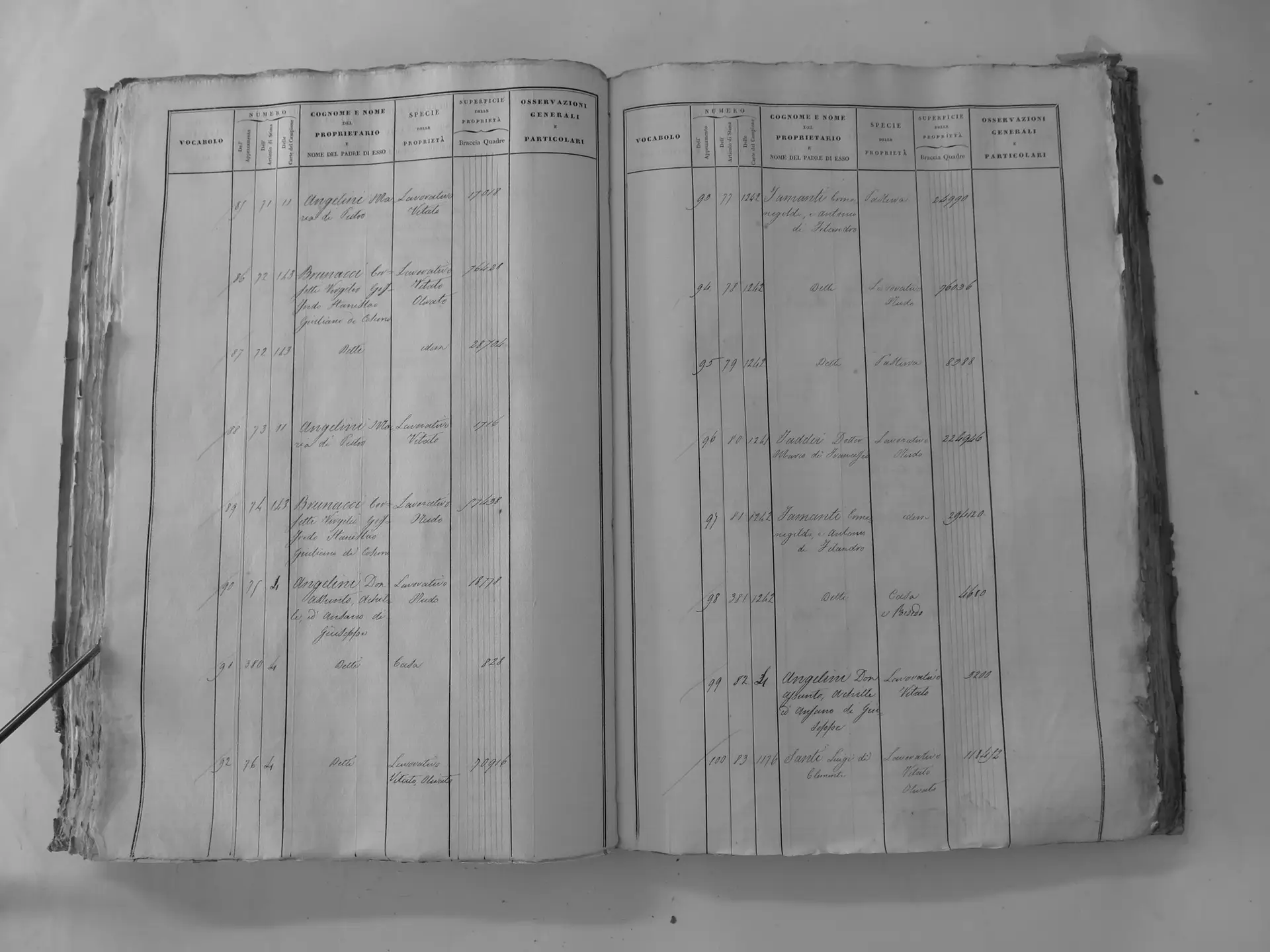
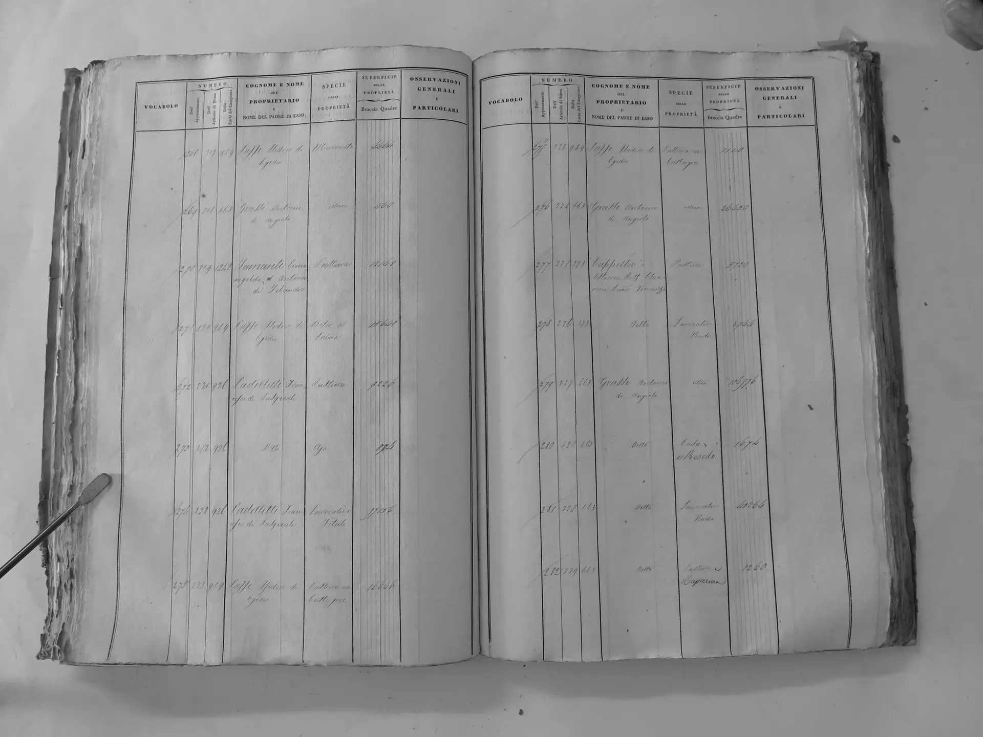
Città di Montalcino (V′) – town houses
- Tomo III p.164 (local copy, C3-0164) · CASTORE
- Tomo III p.167 (local copy, C3-0167) · CASTORE
- Tomo III p.170 (local copy, C3-0170) · CASTORE
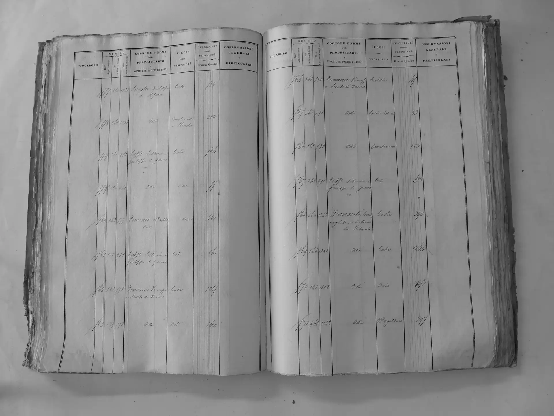
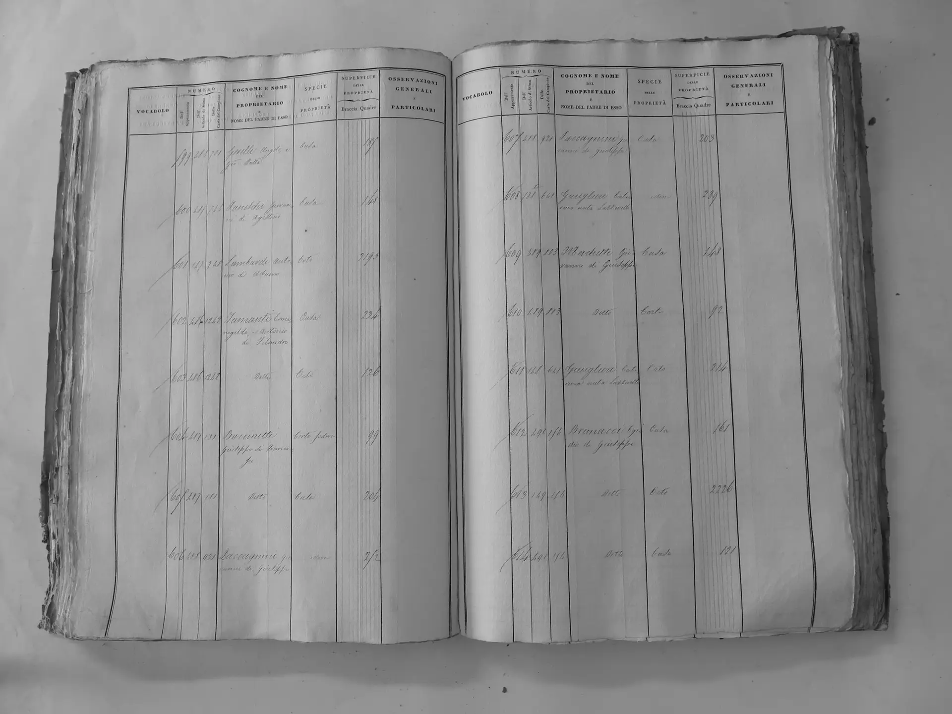
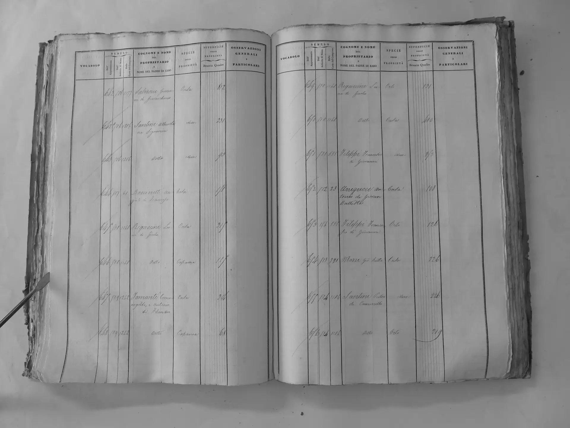
Castel Giocondo (D′′)
- Tomo III p.247 (local copy, C3-0247) · CASTORE
- Tomo III p.248 (local copy, C3-0248) · CASTORE
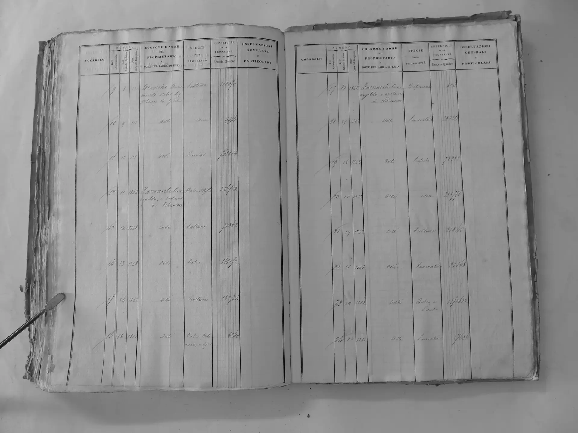
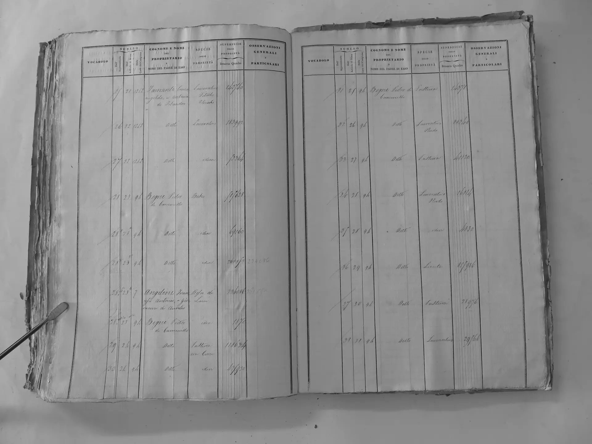
Santi Clemente di Luigi (ledger 1175)
Fiesole (E′)
- Tomo II p.137 (local copy, C2-0137) · CASTORE
- Tomo II p.140 (local copy, C2-0140) · CASTORE
- Tomo II p.141 (local copy, C2-0141) · CASTORE
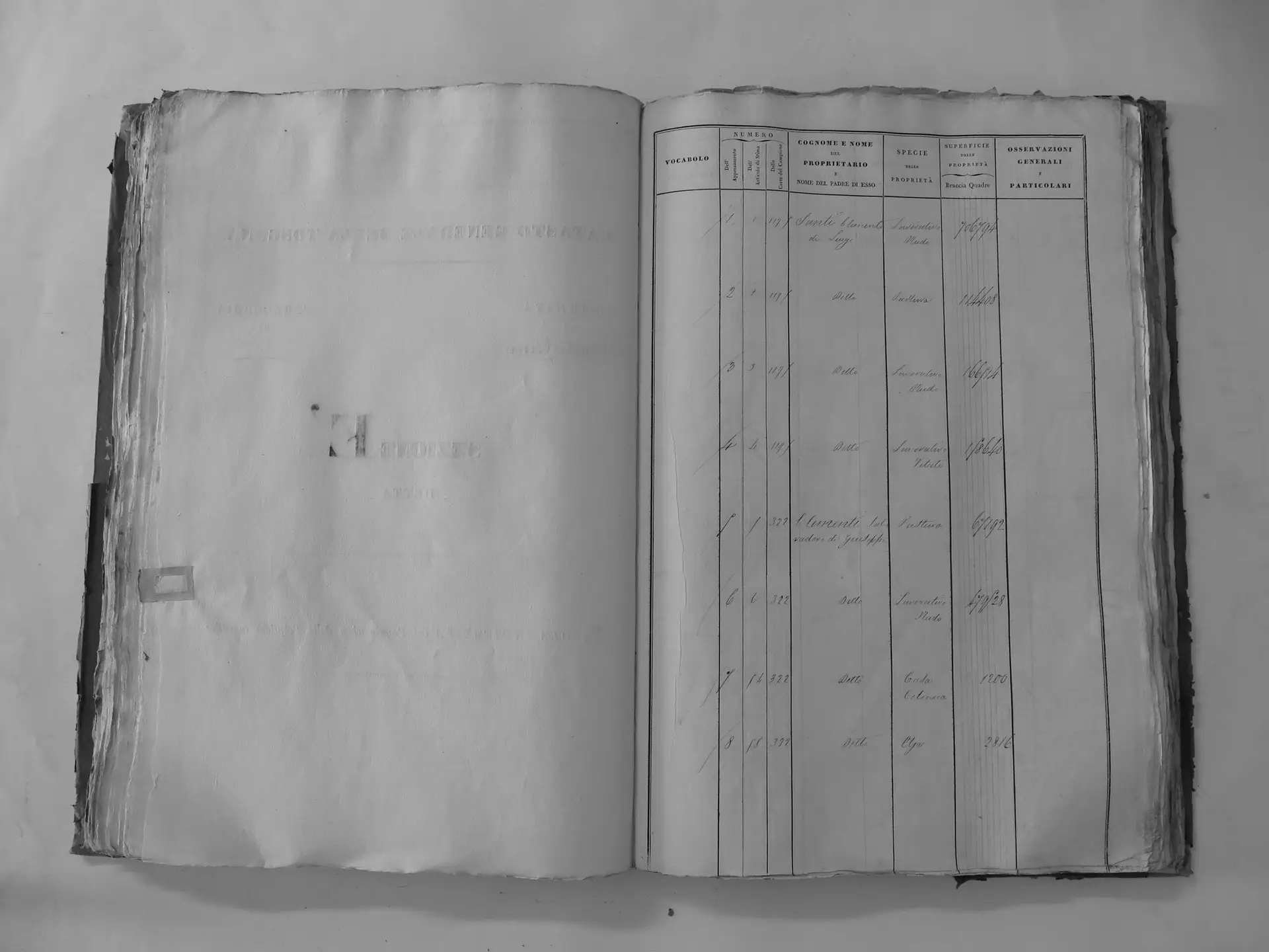
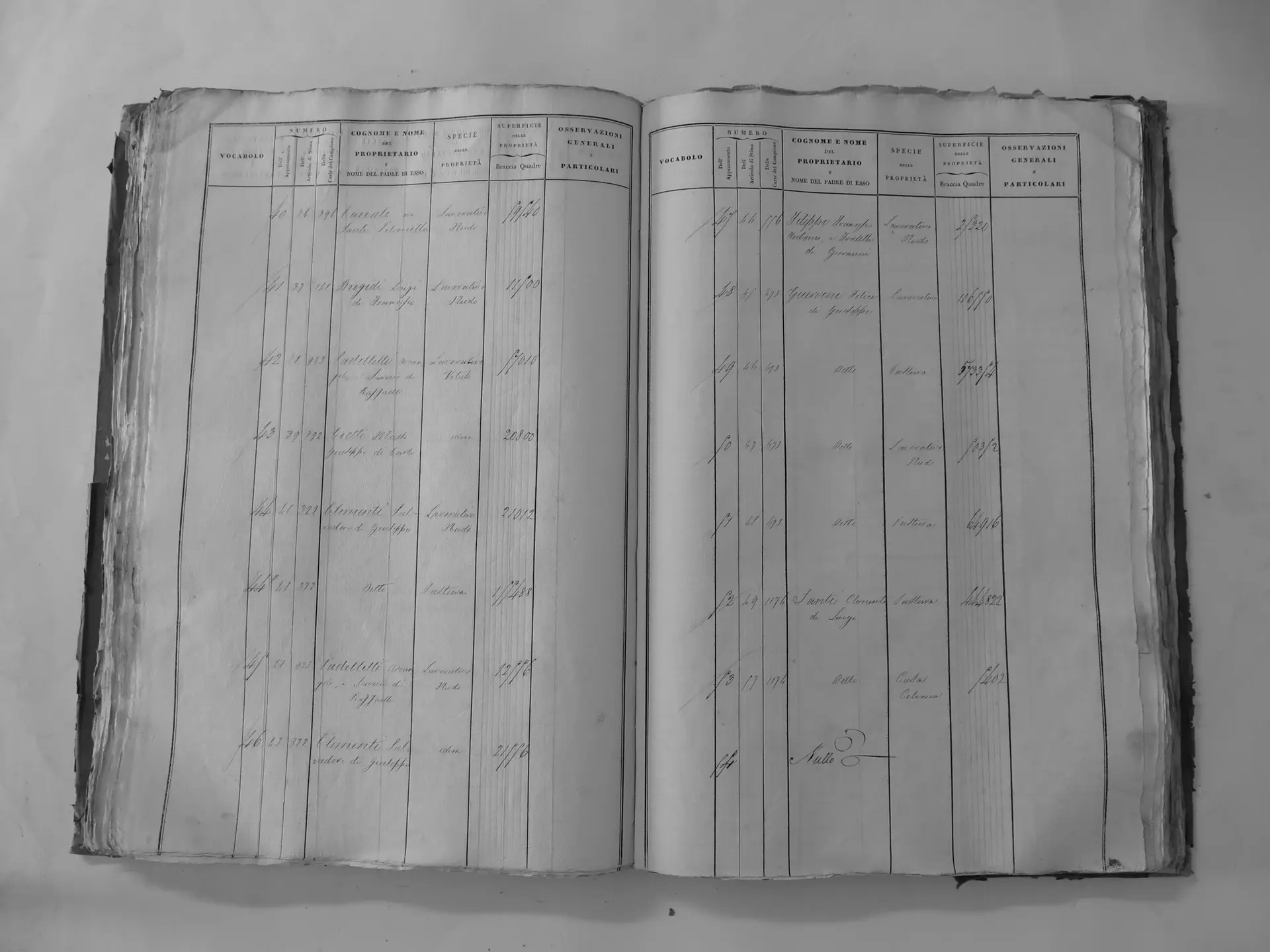
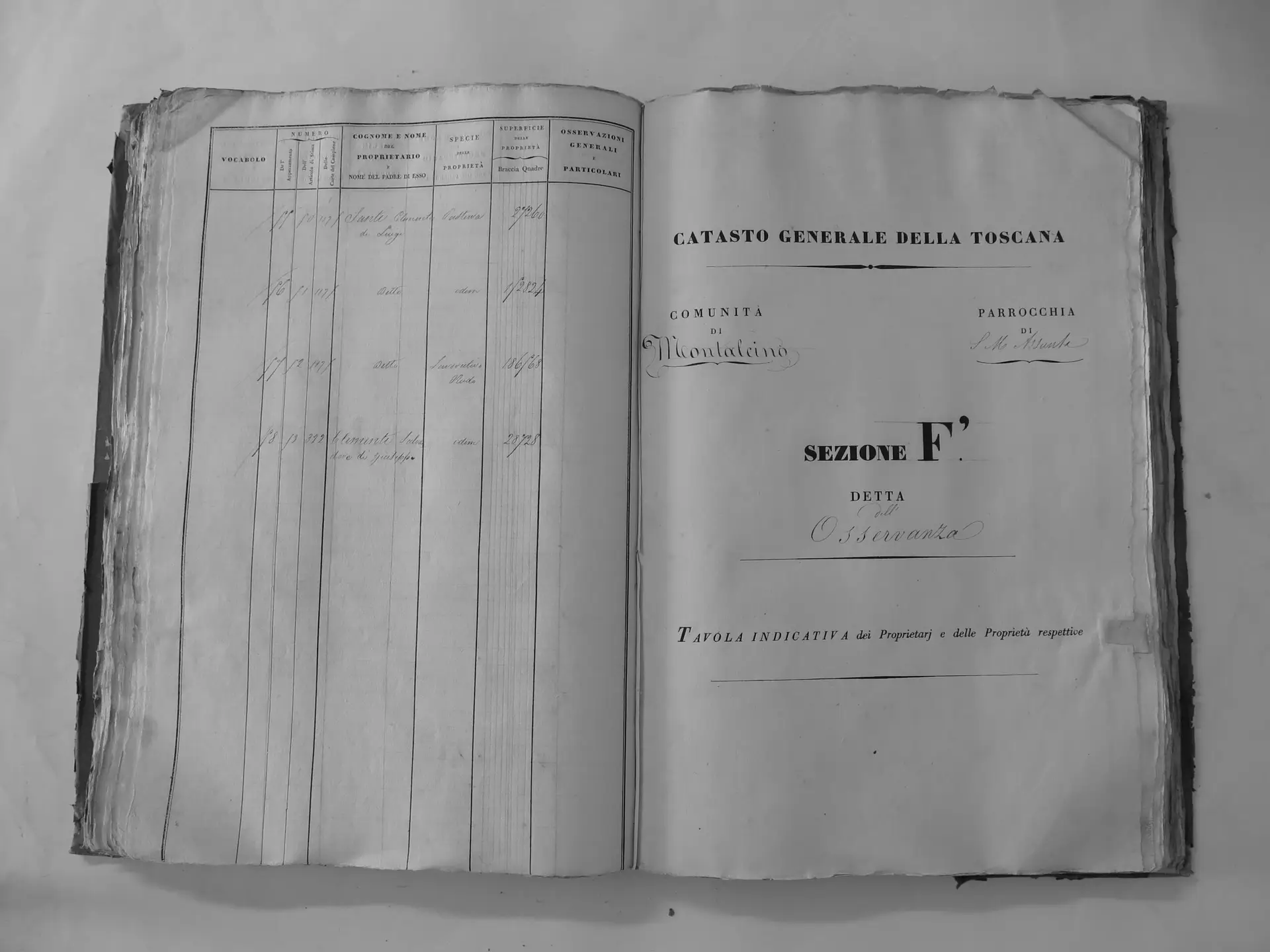
Osservanza (F′)
- Tomo II p.156 (local copy, E26) · CASTORE
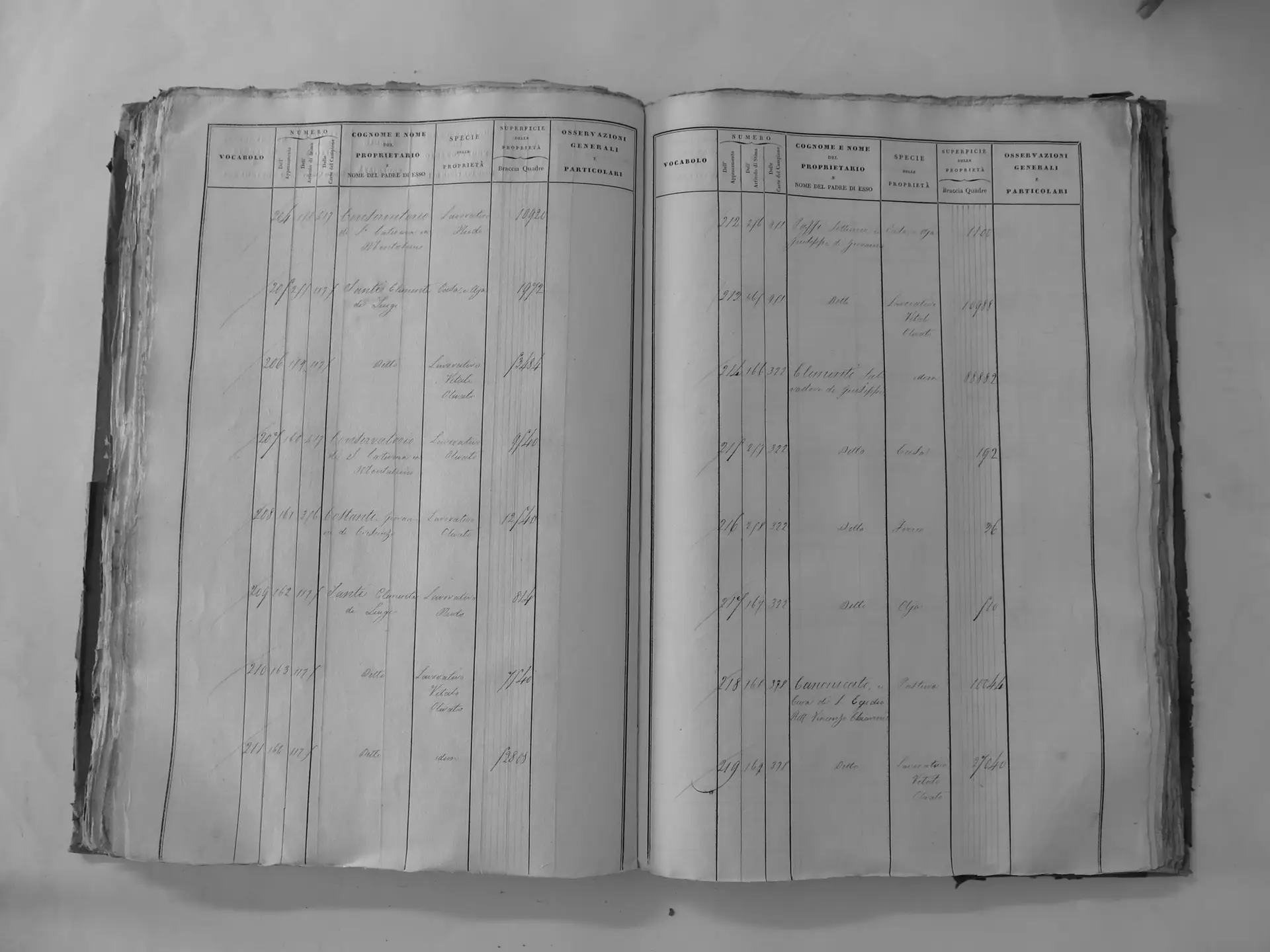
Lumespento (Y′)
- Tomo III p.208 (local copy, C3-0208) · CASTORE
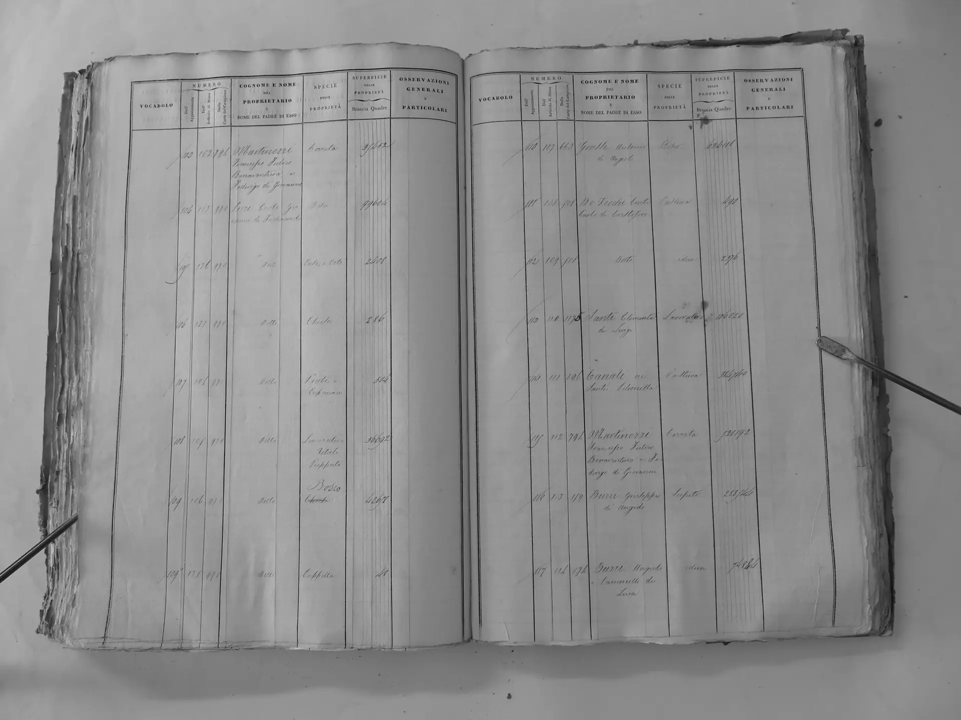
Canali ne' Santi Petronilla (ledger 396)
San Polo (G)
- Tomo I p.89 (local copy, C1-0089) · CASTORE
- Tomo I p.90 (local copy, C1-0090) · CASTORE
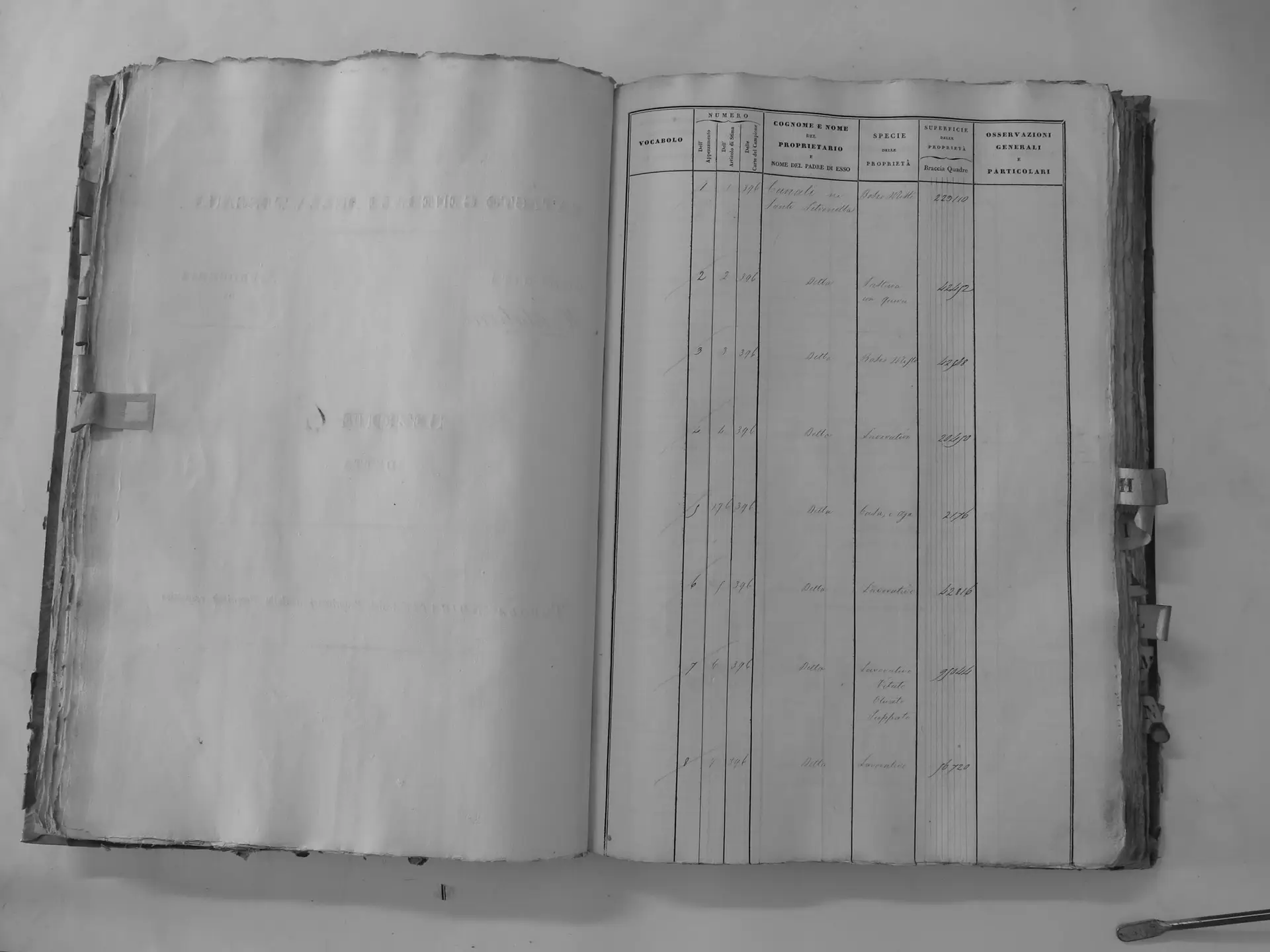
Montosoli (B′)
- Tomo II p.99 (local copy, C2-0099) · CASTORE
- Tomo II p.100 (local copy, C2-0100) · CASTORE
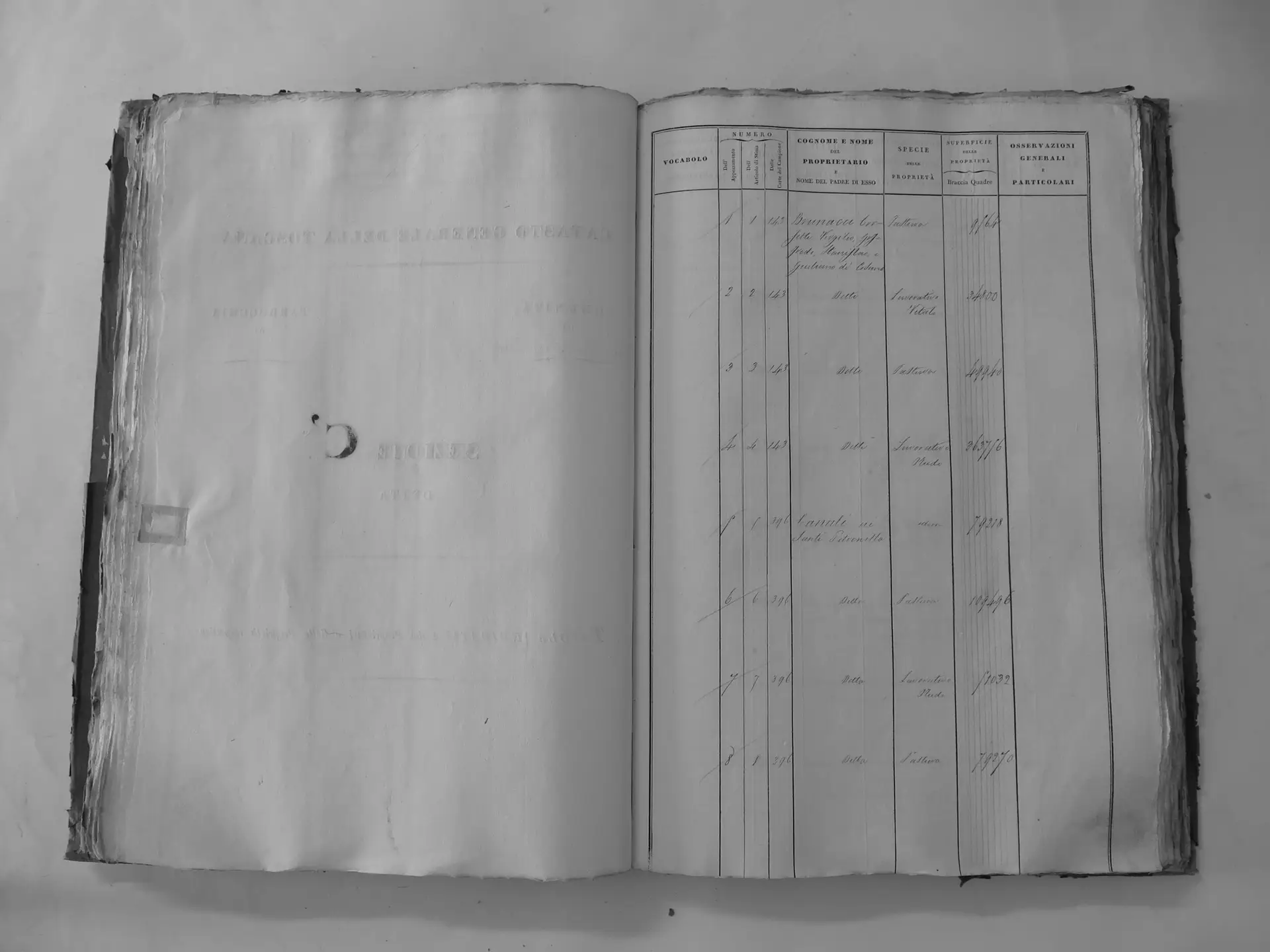
Pelagrilli (C′)
- Tomo II p.109 (local copy, C2-0109) · CASTORE
- Tomo II p.112 (local copy, C2-0112) · CASTORE
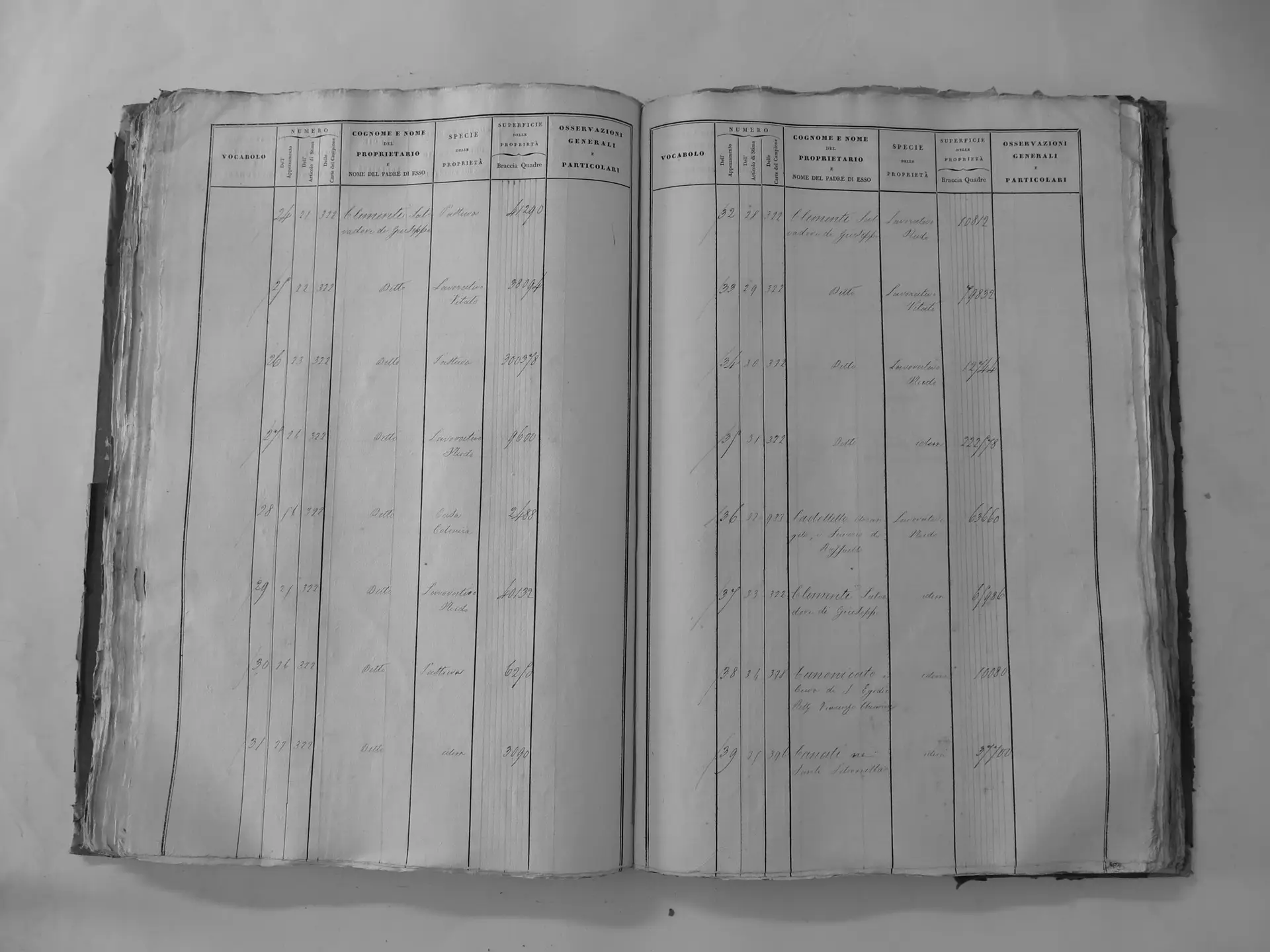
Fiesole (E′)
- Tomo II p.139 (local copy, C2-0139) · CASTORE
- Tomo II p.140 (local copy, C2-0140) · CASTORE
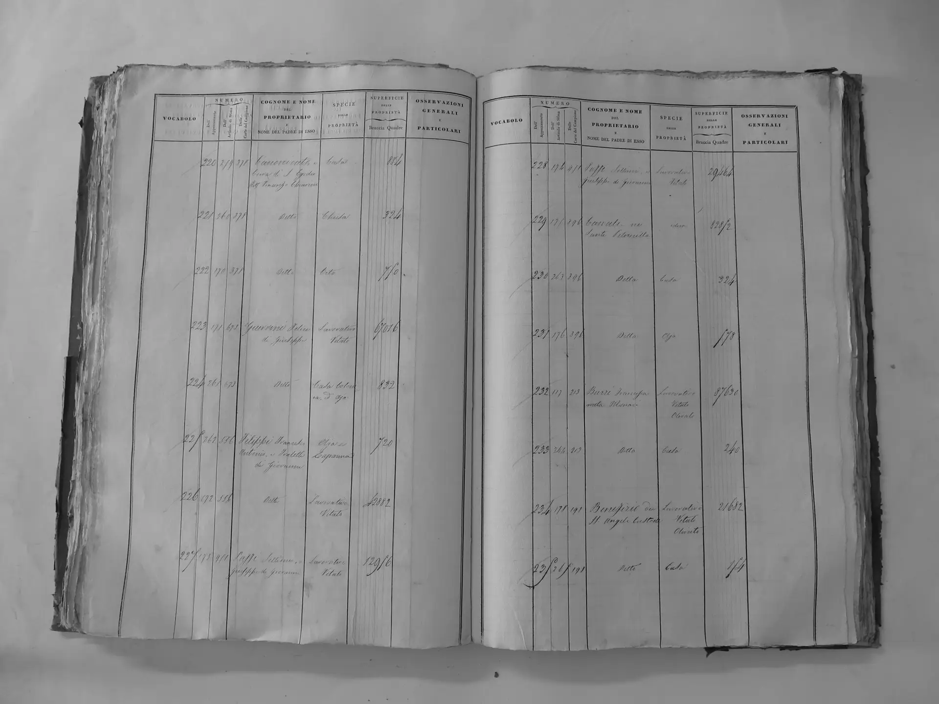
Osservanza (F′)
- Tomo II p.157 (local copy, C2-0157) · CASTORE
Greppo (G′) – chapel & farm centre p.173
- Tomo II p.167 (local copy, C2-0167) · CASTORE
- Tomo II p.168 (local copy, C2-0168) · CASTORE
- Tomo II p.172 (local copy, C2-0172) · CASTORE
- Tomo II p.173 (local copy, E27) · CASTORE
- Tomo II p.176 (local copy, C2-0176) · CASTORE
- Tomo II p.177 (local copy, C2-0177) · CASTORE
- Tomo II p.178 (local copy, C2-0178) · CASTORE
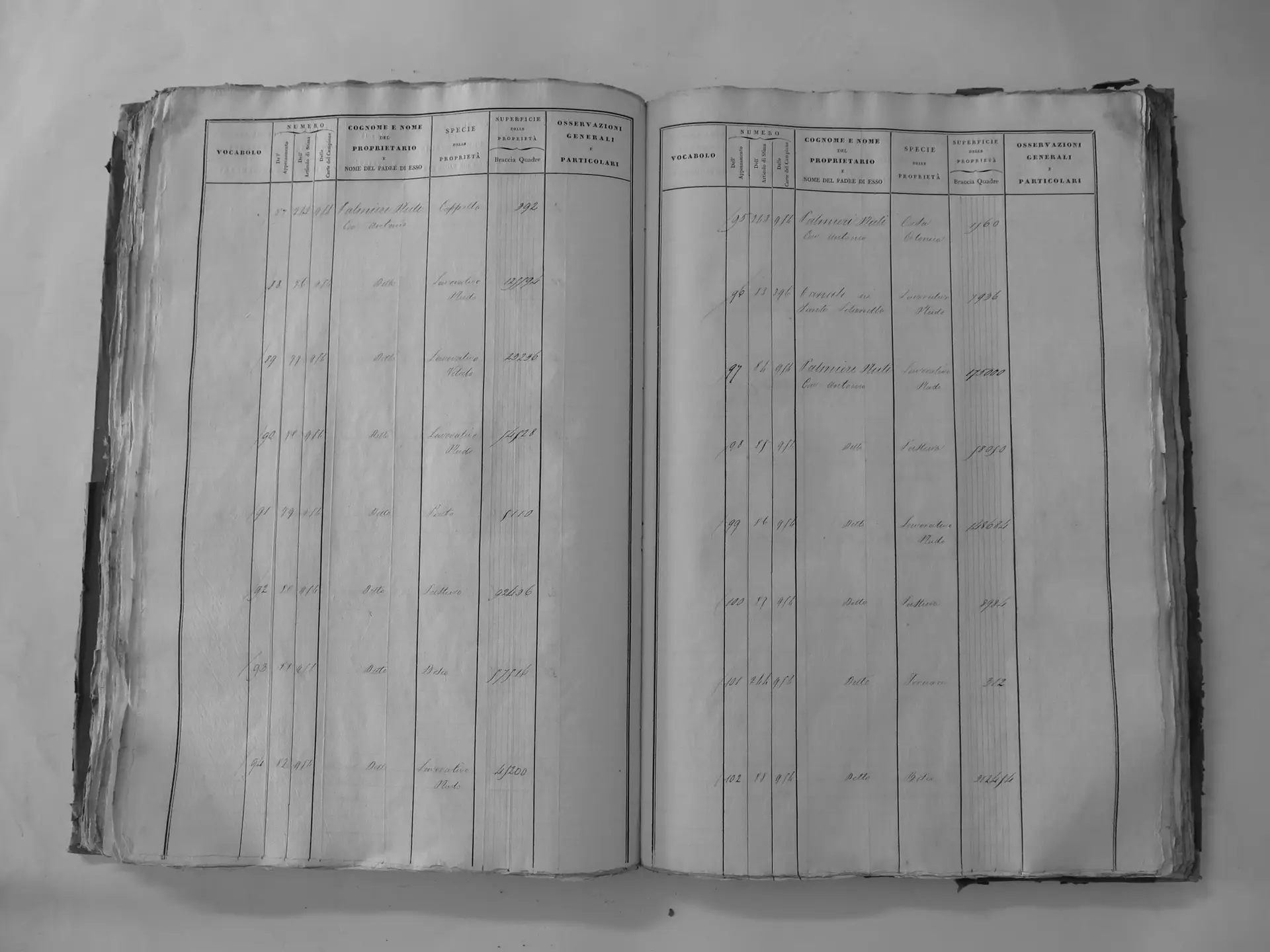
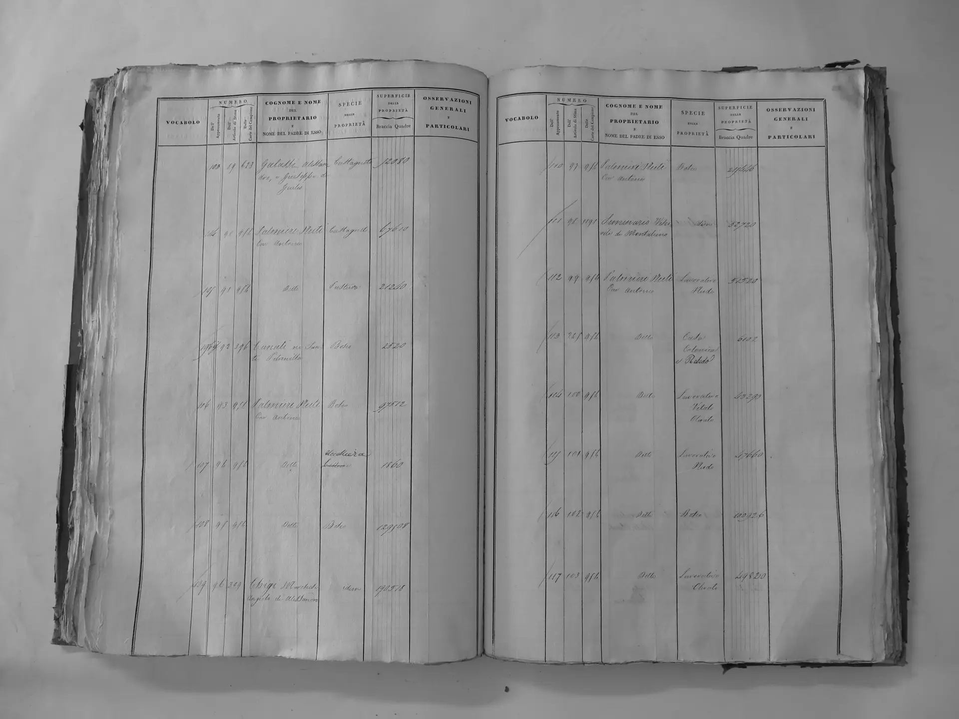
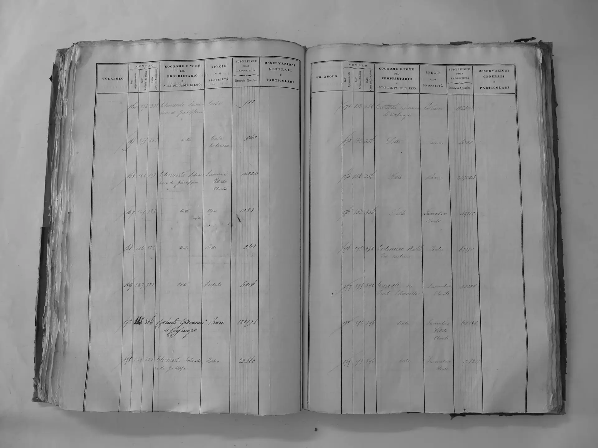
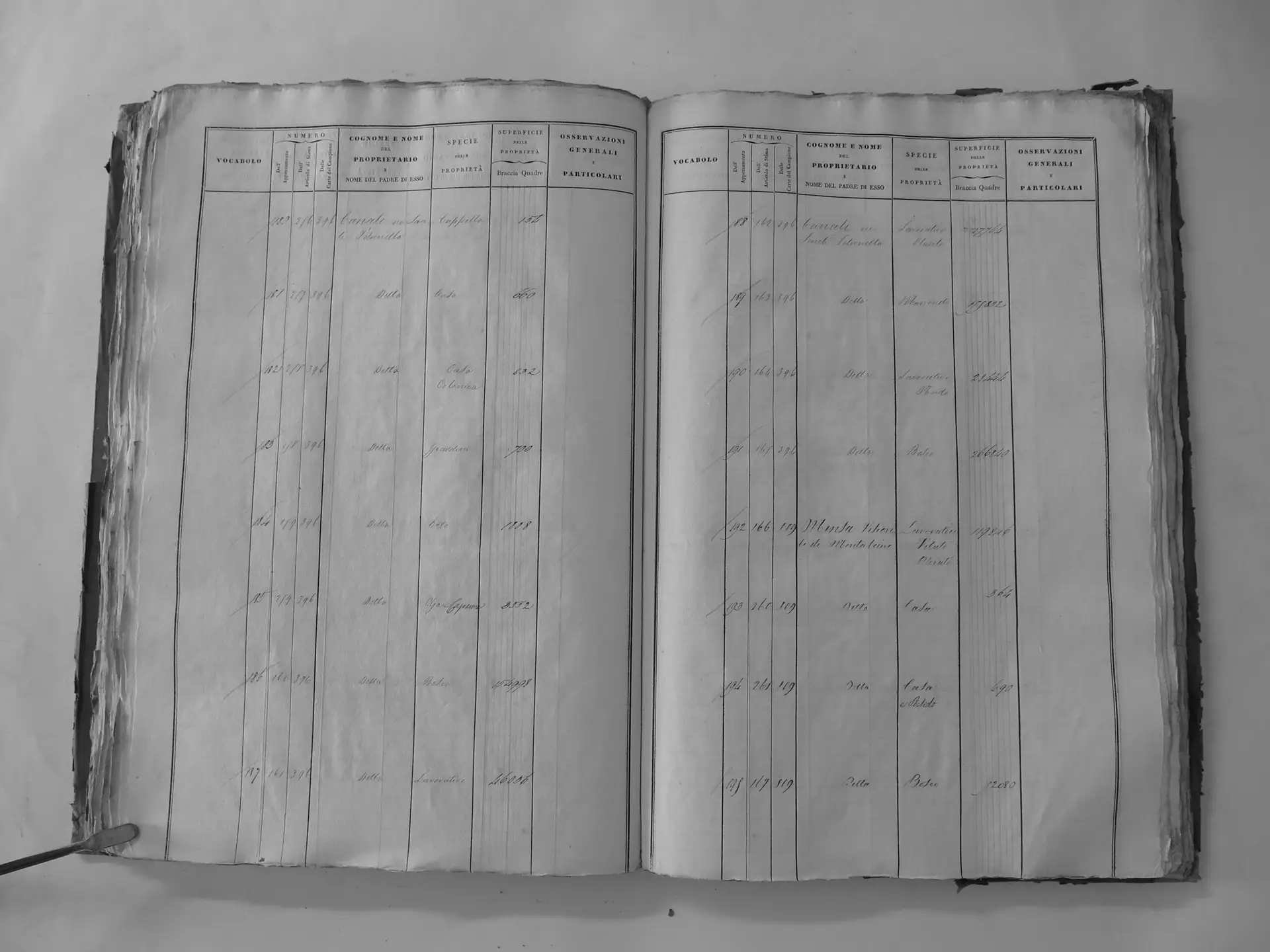
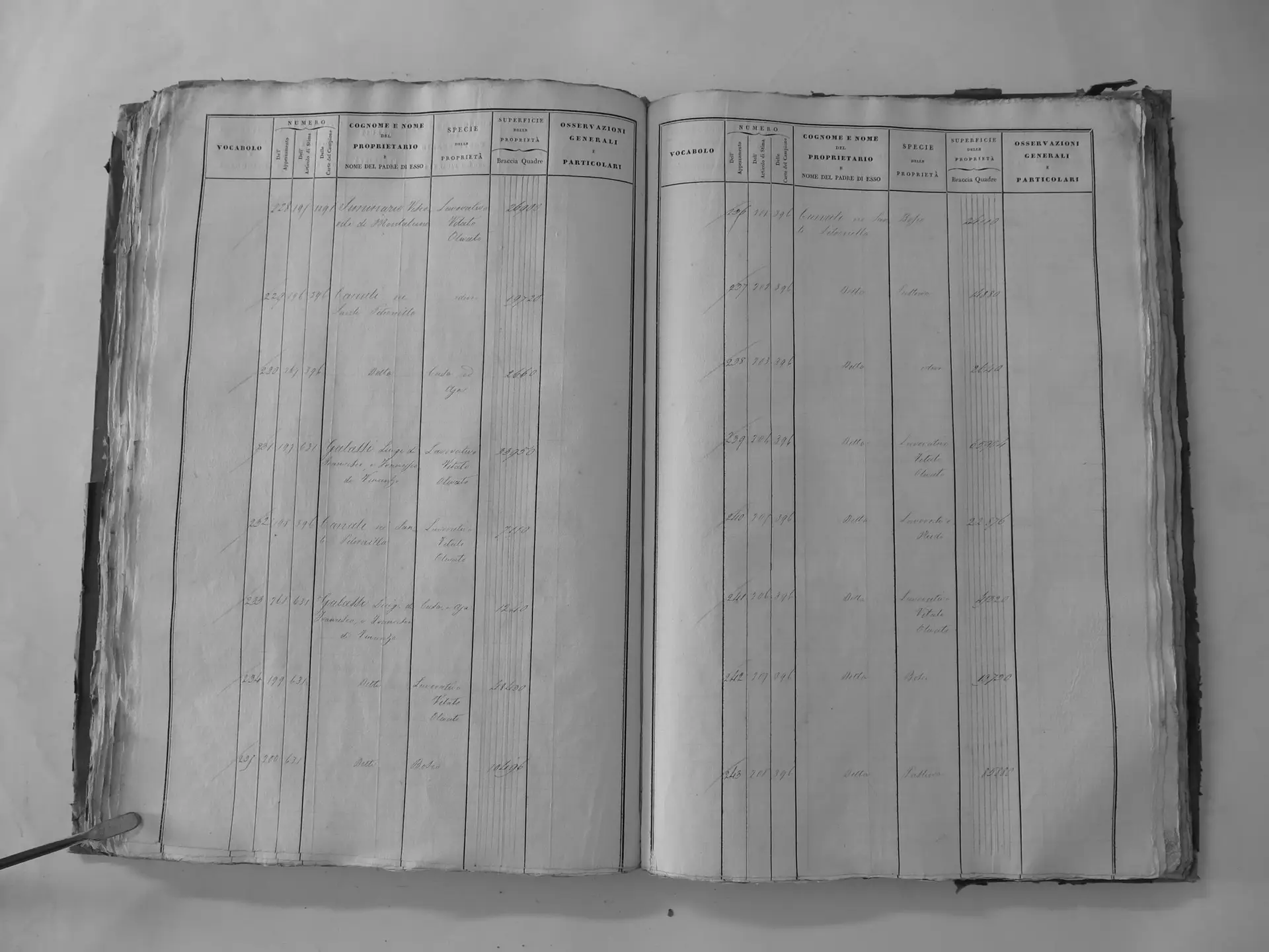
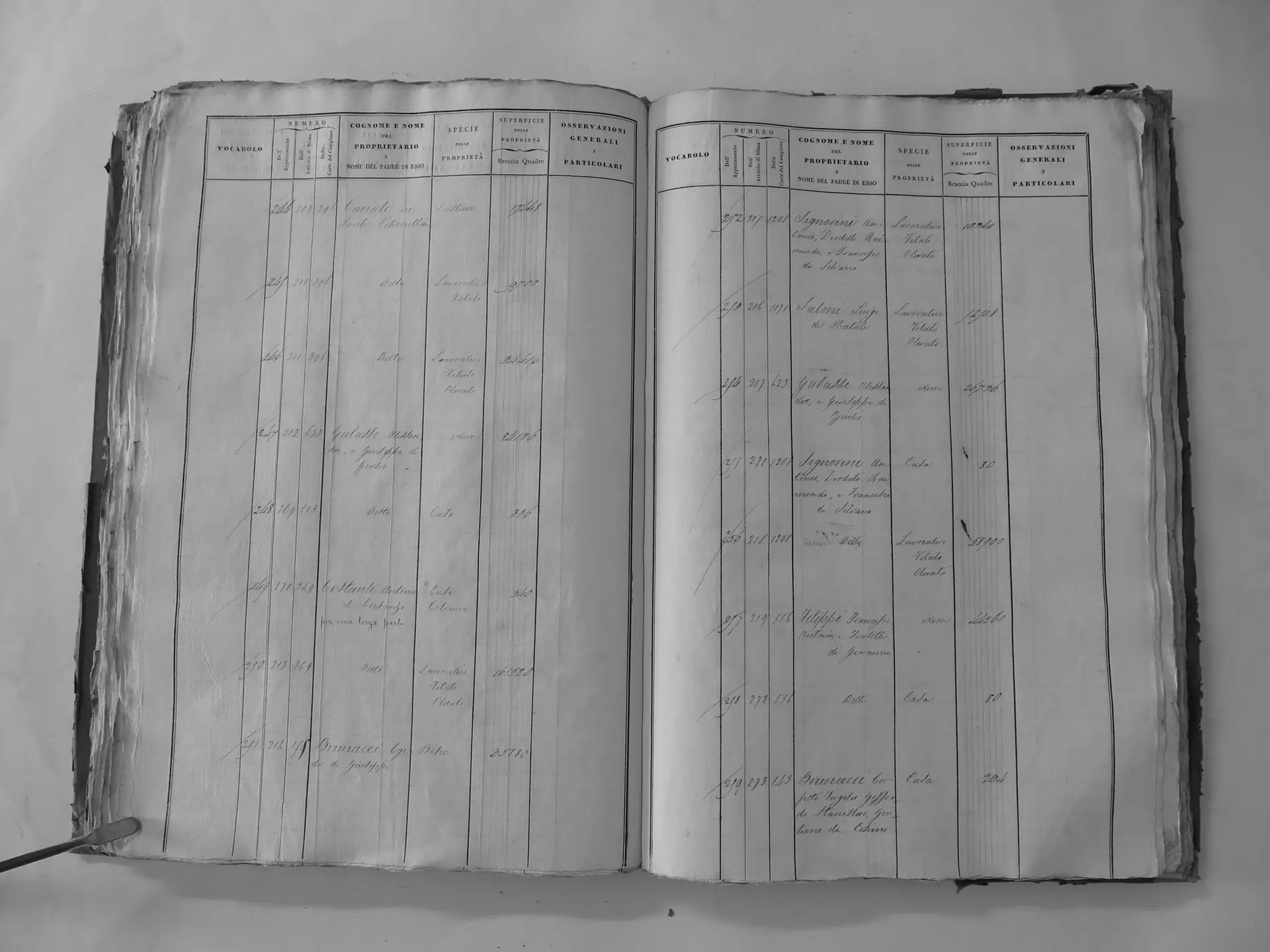
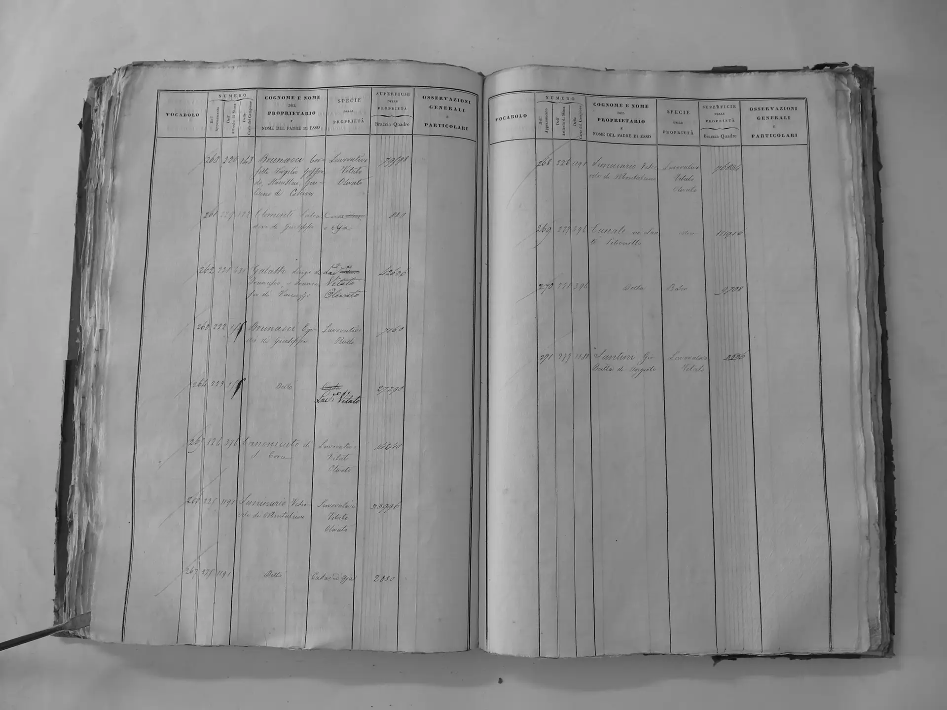
Comunale (H′)
- Tomo II p.184 (local copy, C2-0184) · CASTORE
- Tomo II p.185 (local copy, C2-0185) · CASTORE
- Tomo II p.186 (local copy, C2-0186) · CASTORE
- Tomo II p.187 (local copy, C2-0187) · CASTORE
- Tomo II p.188 (local copy, C2-0188) · CASTORE
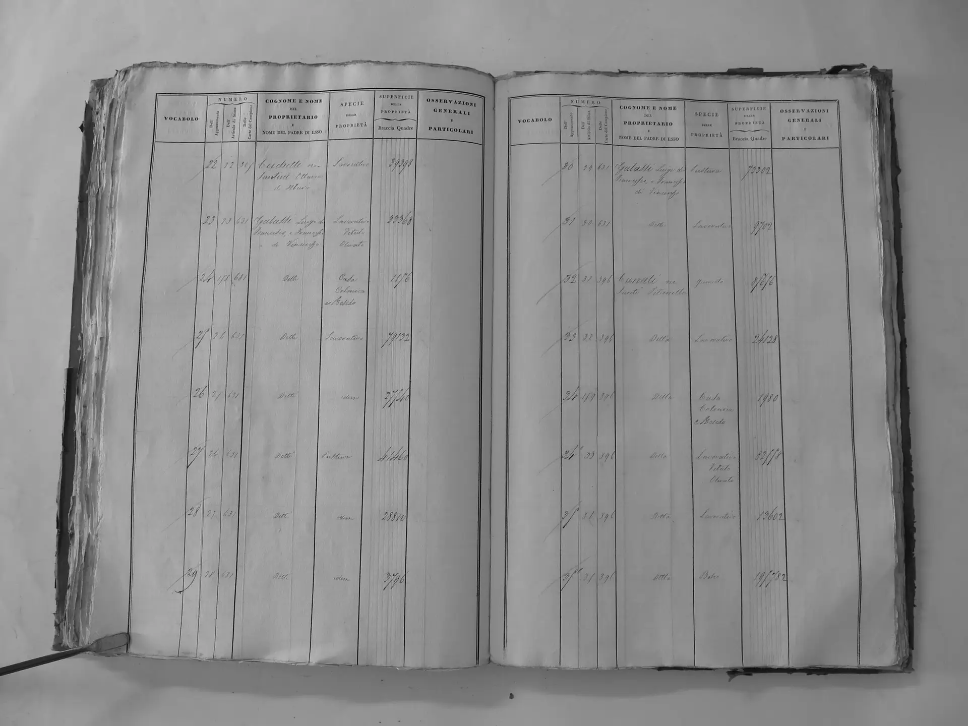
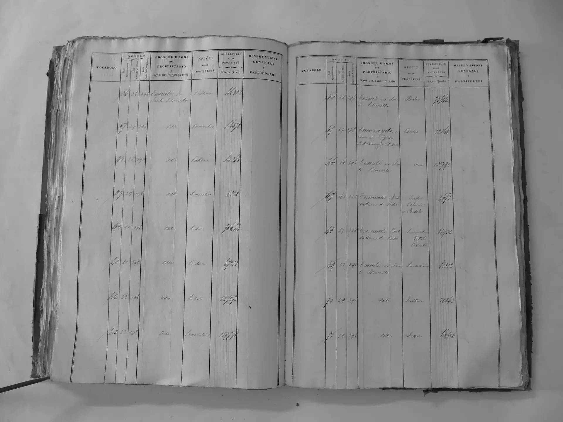
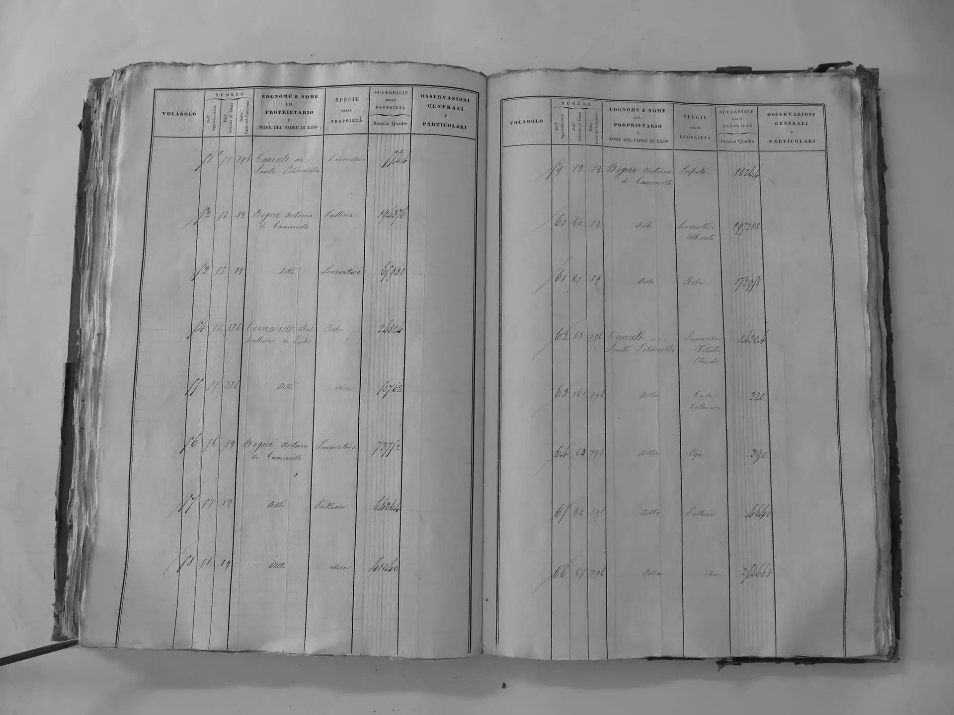
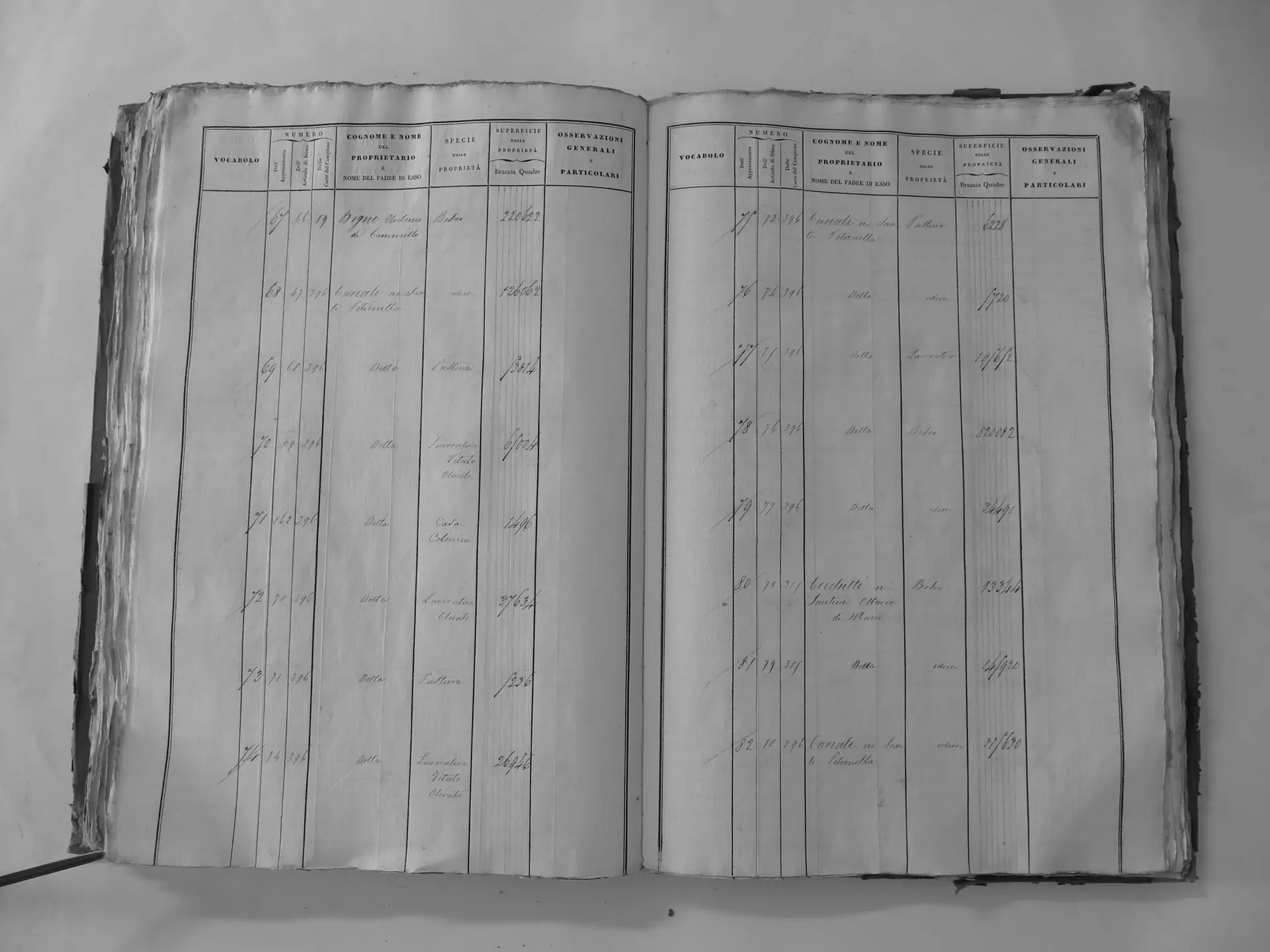
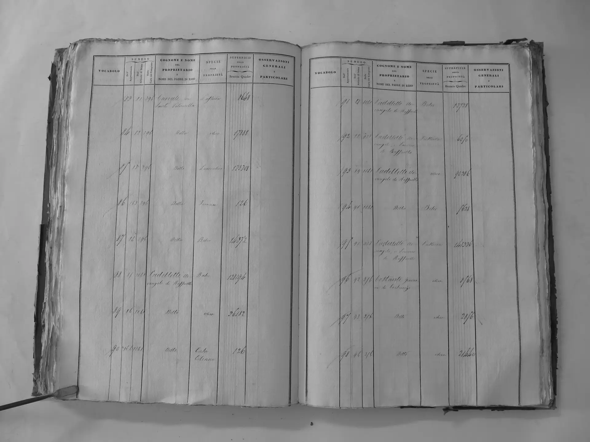
Scarnaquoja (U′)
- Tomo III p.111 (local copy, C3-0111) · CASTORE
- Tomo III p.112 (local copy, C3-0112) · CASTORE
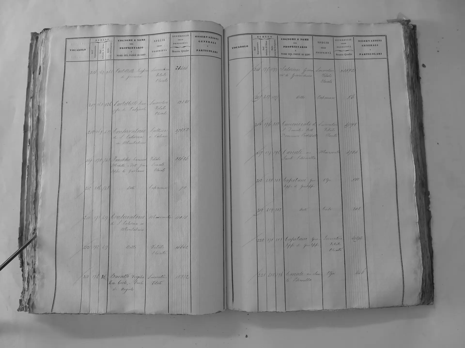
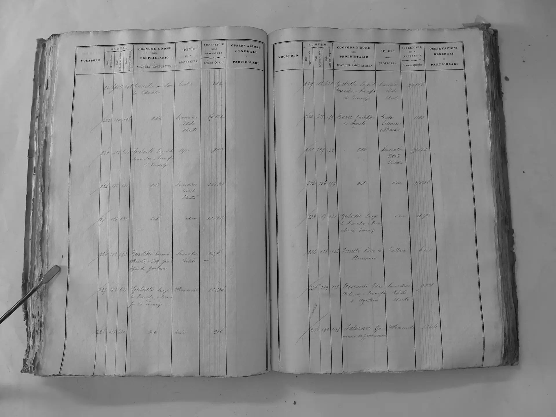
Città di Montalcino (V′) – town houses
- Tomo III p.141 (local copy, C3-0141) · CASTORE
- Tomo III p.169 (local copy, C3-0169) · CASTORE
- Tomo III p.185 (local copy, C3-0185) · CASTORE
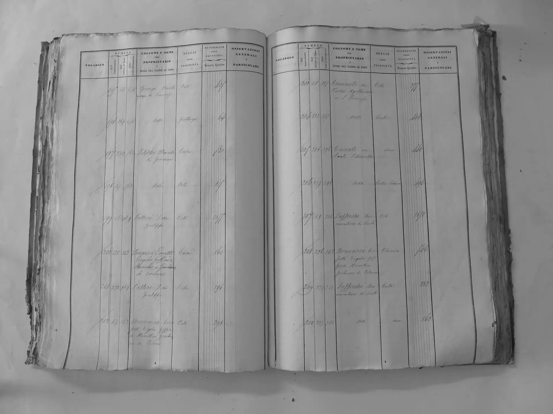
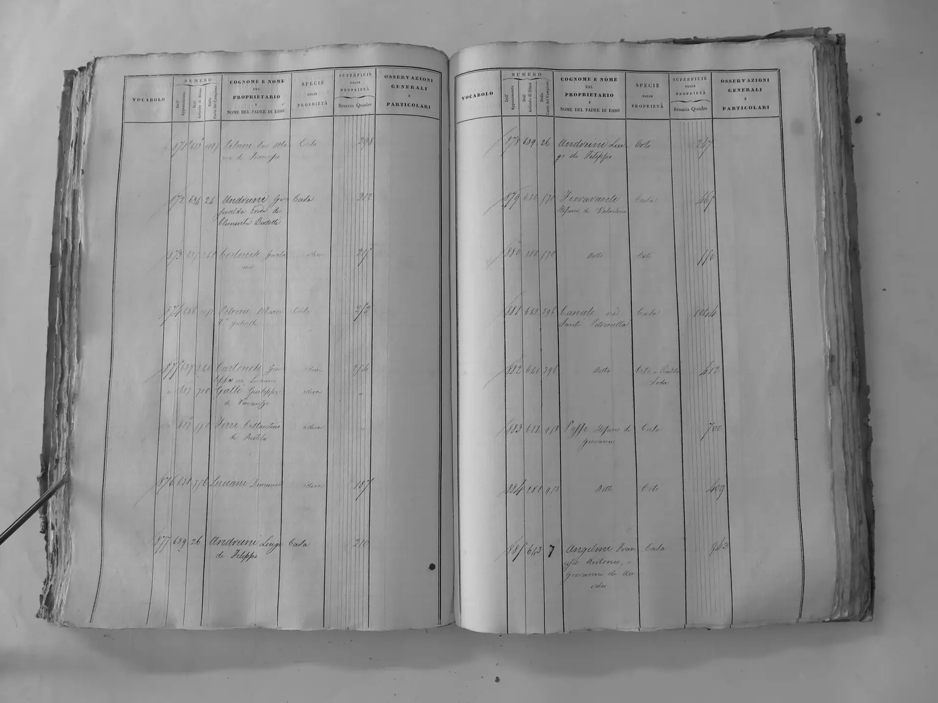
Lumespento (Y′)
- Tomo III p.208 (local copy, C3-0208) · CASTORE
Santi Luigi di Clemente (ledger 1176)
Osservanza (F′)
- Tomo II p.150 (local copy, C2-0150) · CASTORE
- Tomo II p.155 (local copy, C2-0155) · CASTORE
- Tomo II p.159 (local copy, C2-0159) · CASTORE
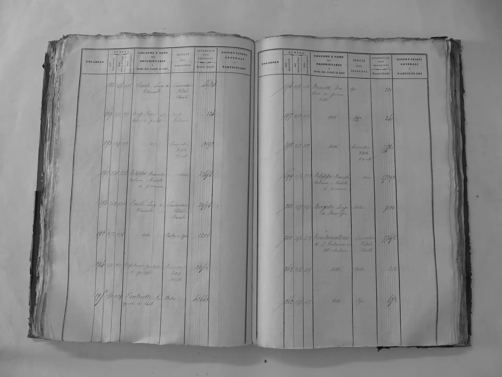
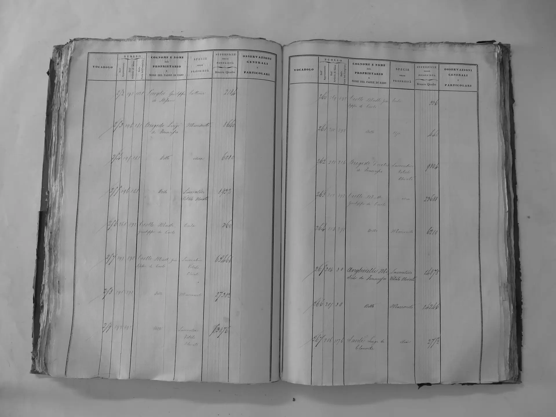
Scarnaquoja (U′)
- Tomo III p.103 (local copy, C3-0103) · CASTORE
- Tomo III p.104 (local copy, C3-0104) · CASTORE
- Tomo III p.105 (local copy, C3-0105) · CASTORE
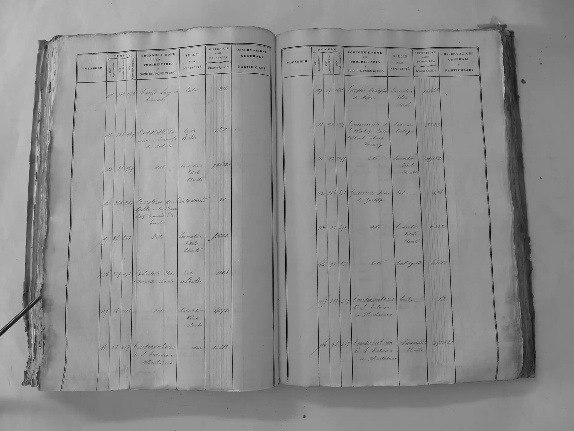
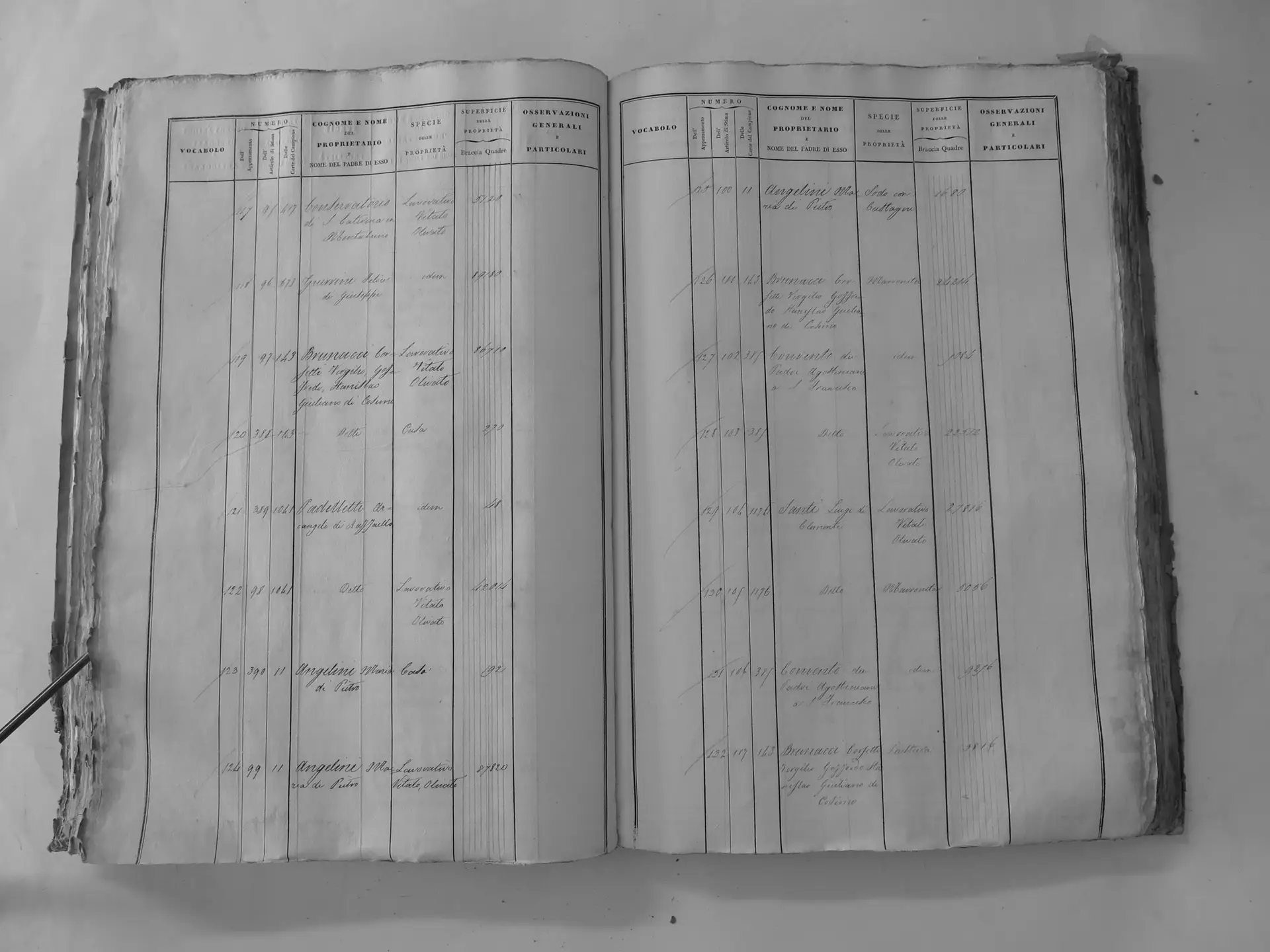
Città di Montalcino (V′)
- Tomo III p.188 (local copy, C3-0188) · CASTORE