

The Tamanti were a family of the town, and their wealth was in the land around it. In the Tuscan land survey of about 1820, Tamanti owners appear across a dozen districts of the Montalcino countryside. They held farmhouses and threshing floors, vineyards and olive groves, holm-oak woods, chapels, and a mill with its millrace, as well as houses and gardens inside the walls. This section follows those holdings one landscape at a time.
Reading the Leopoldine cadastre
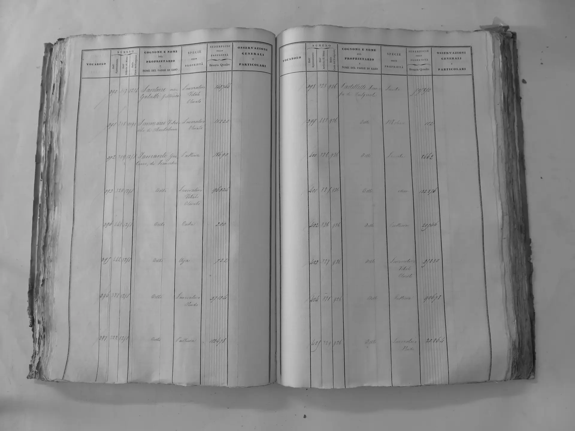
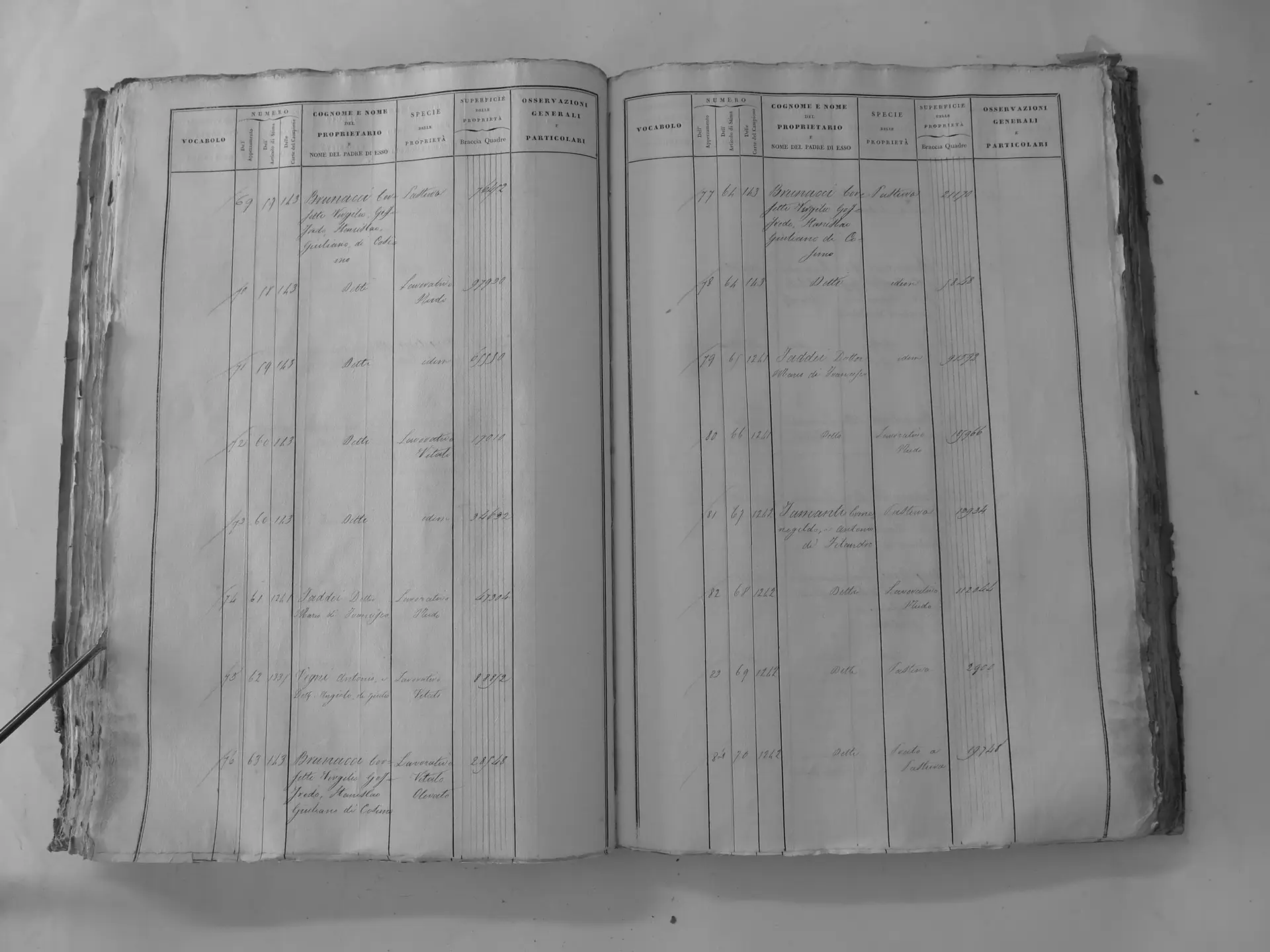
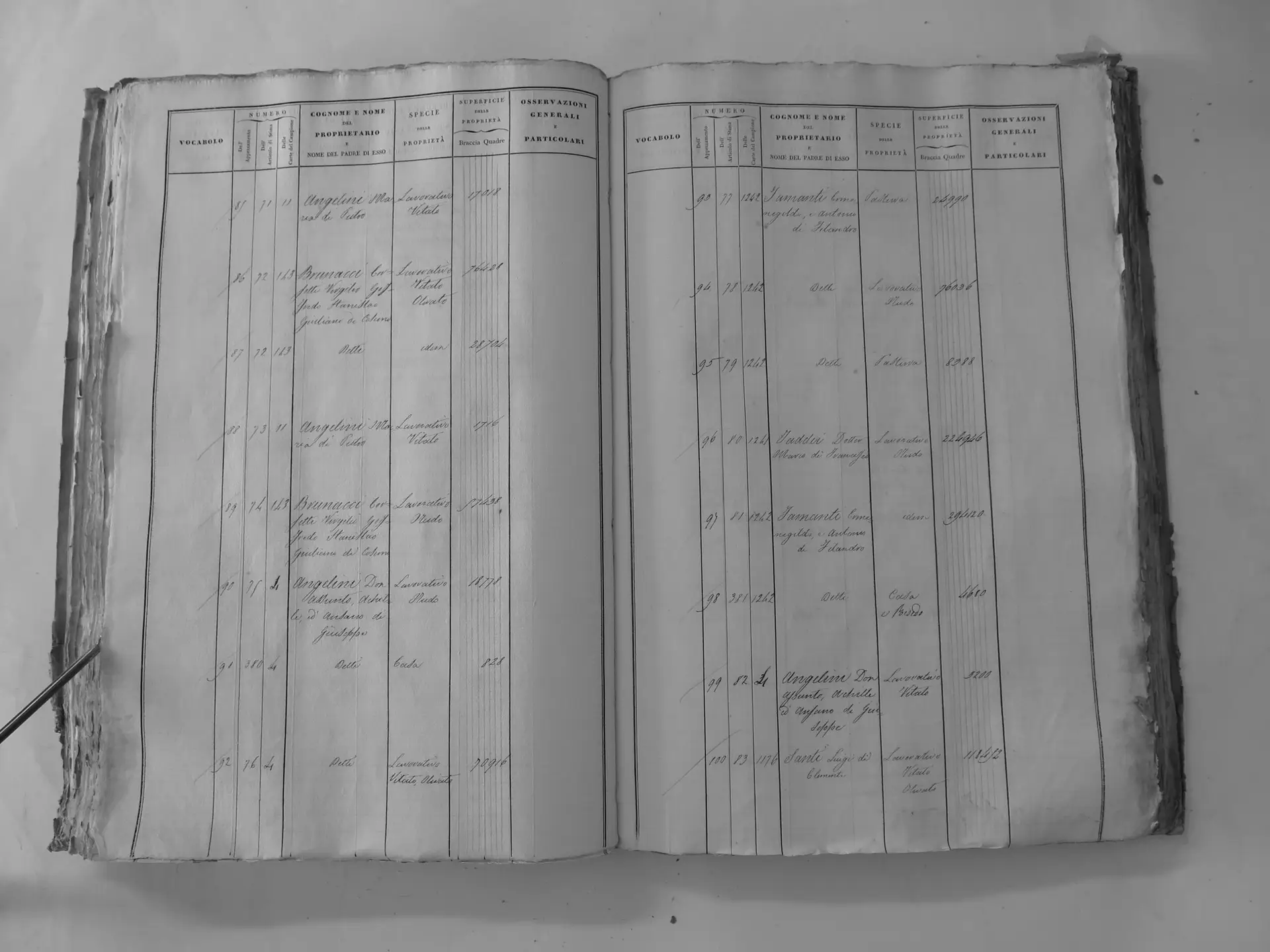
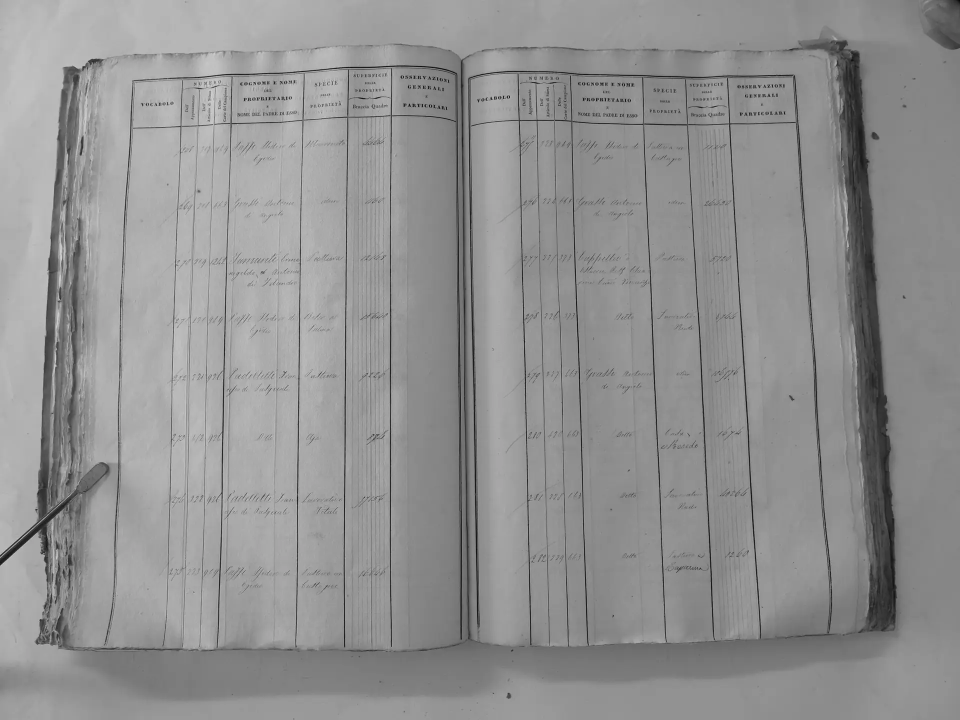
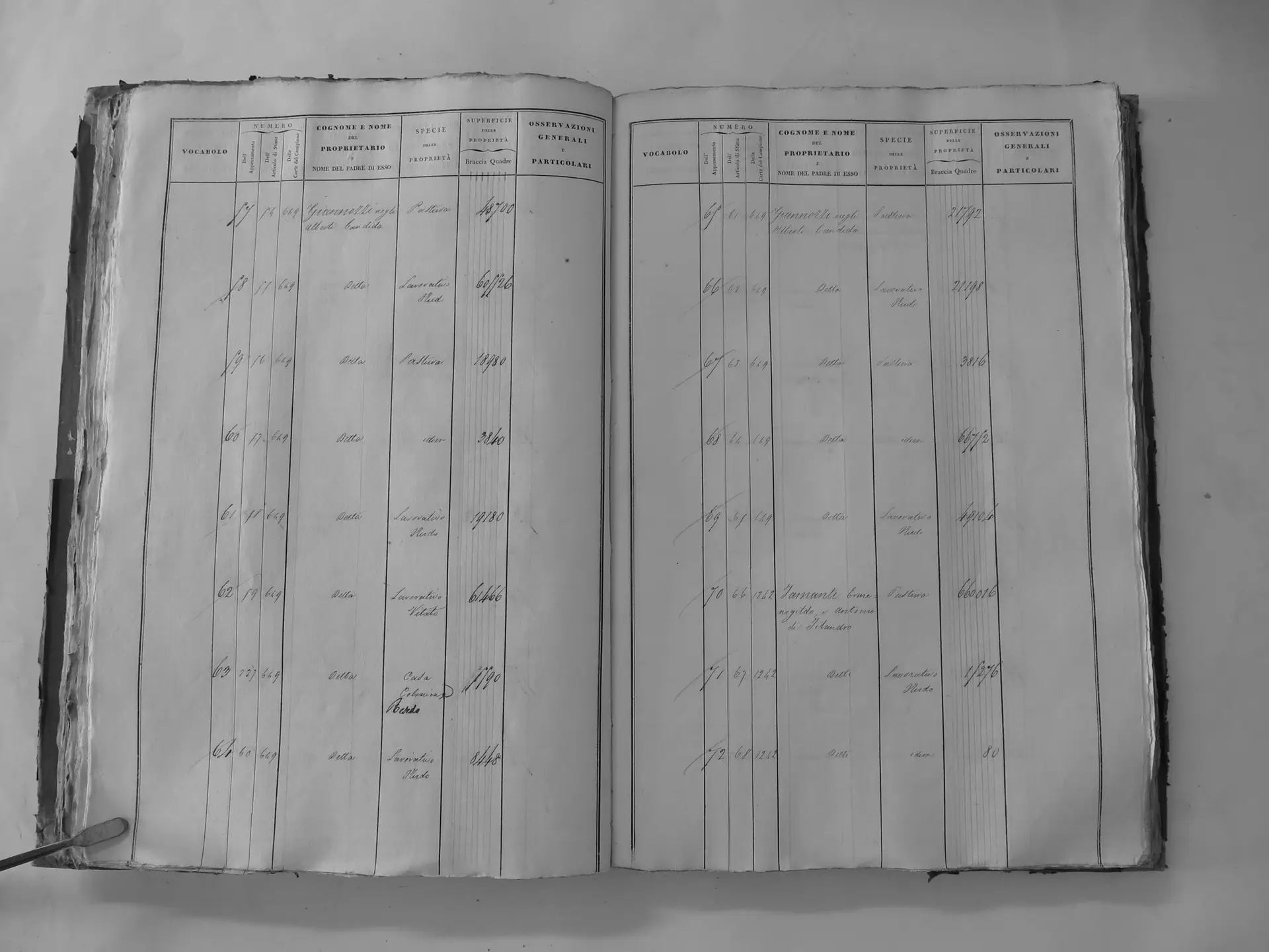
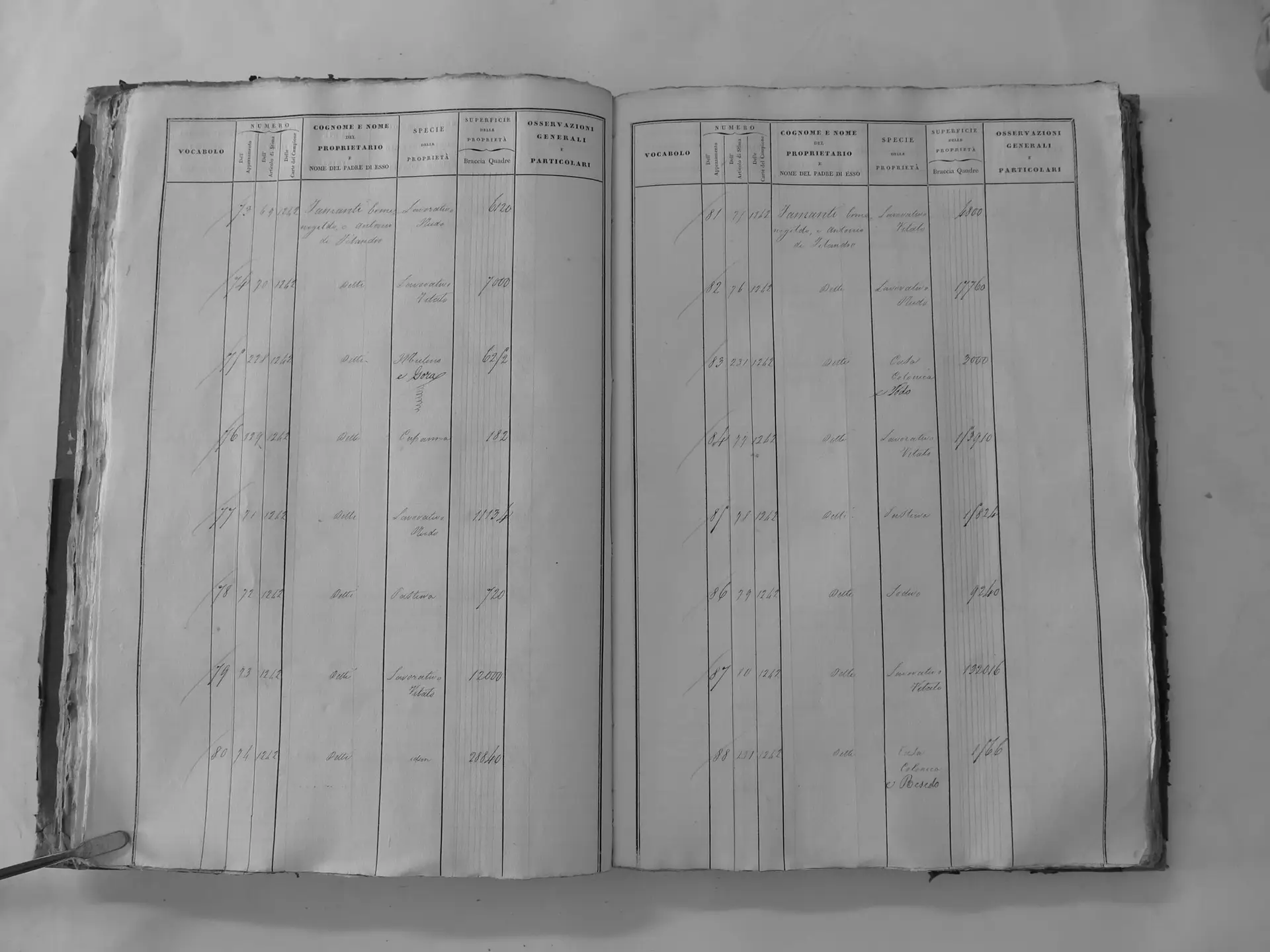
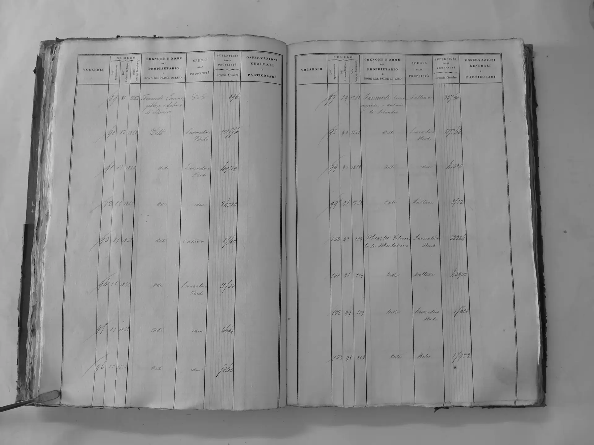
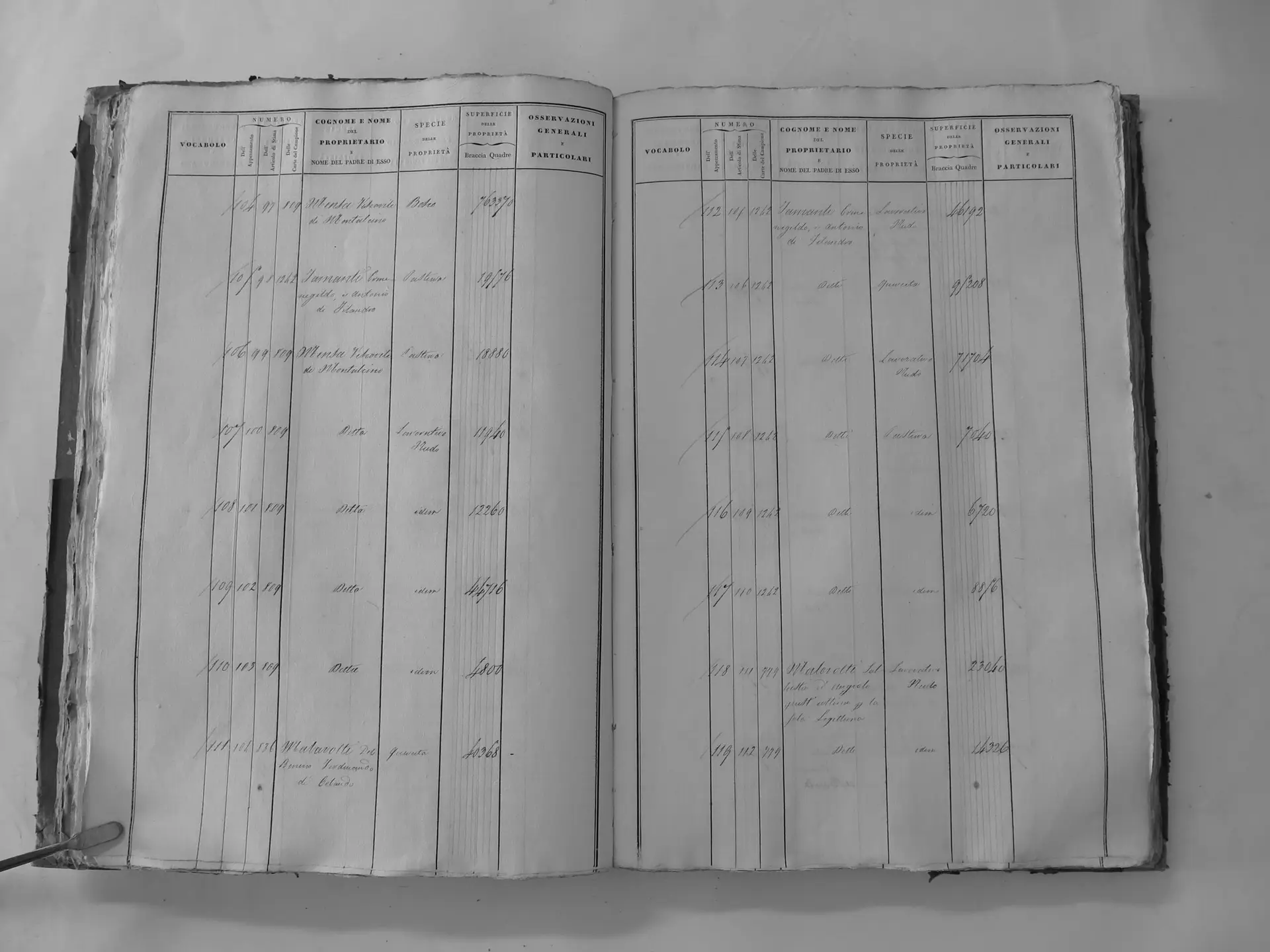
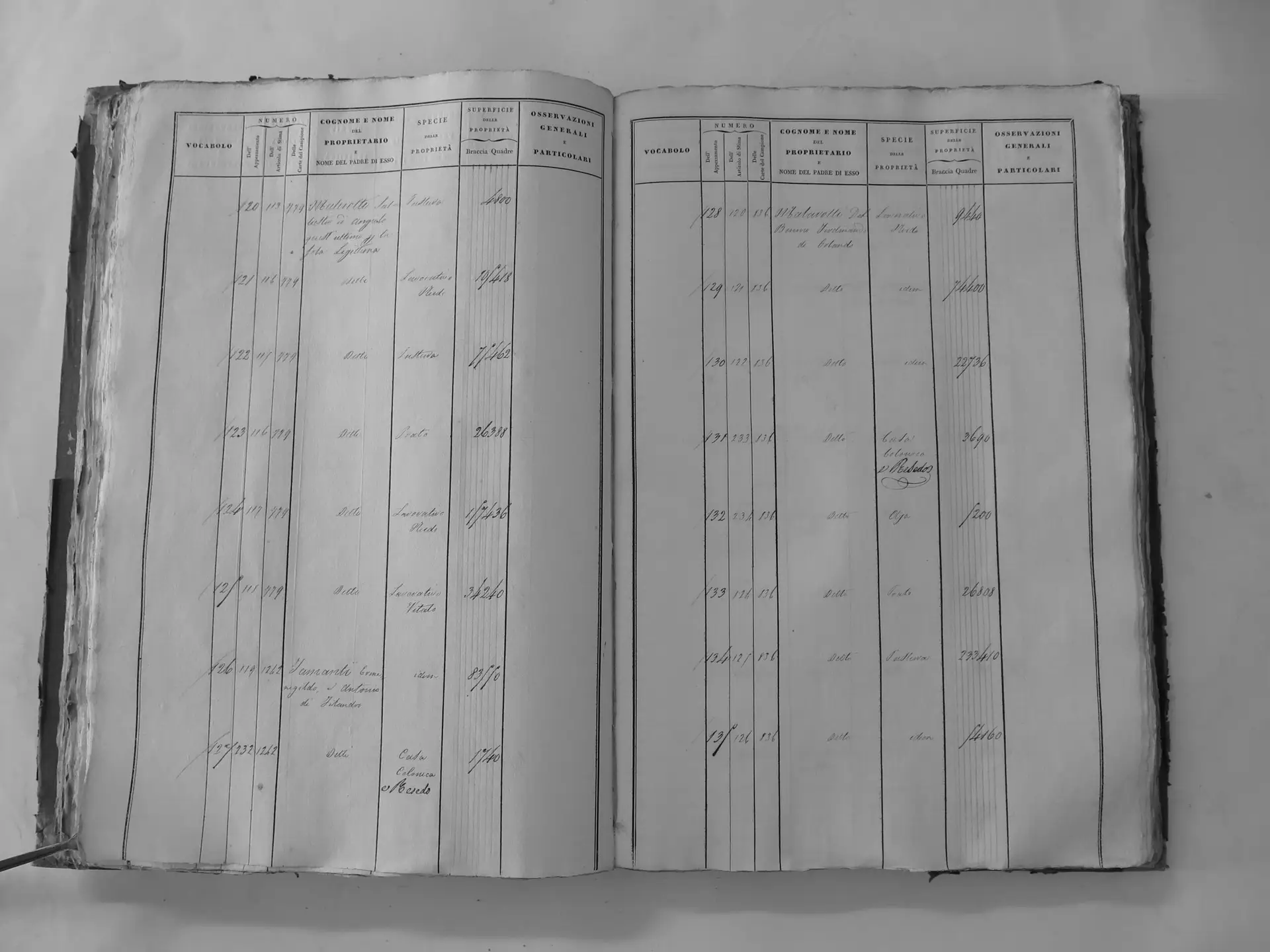
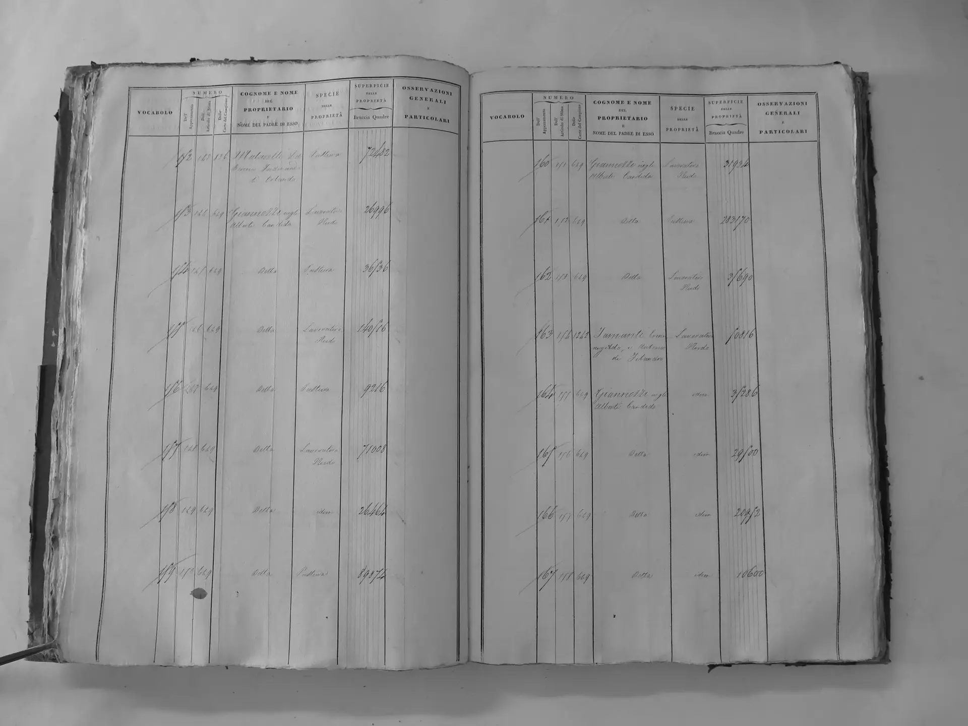
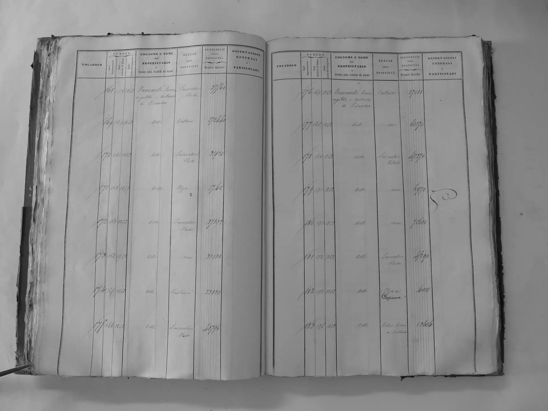
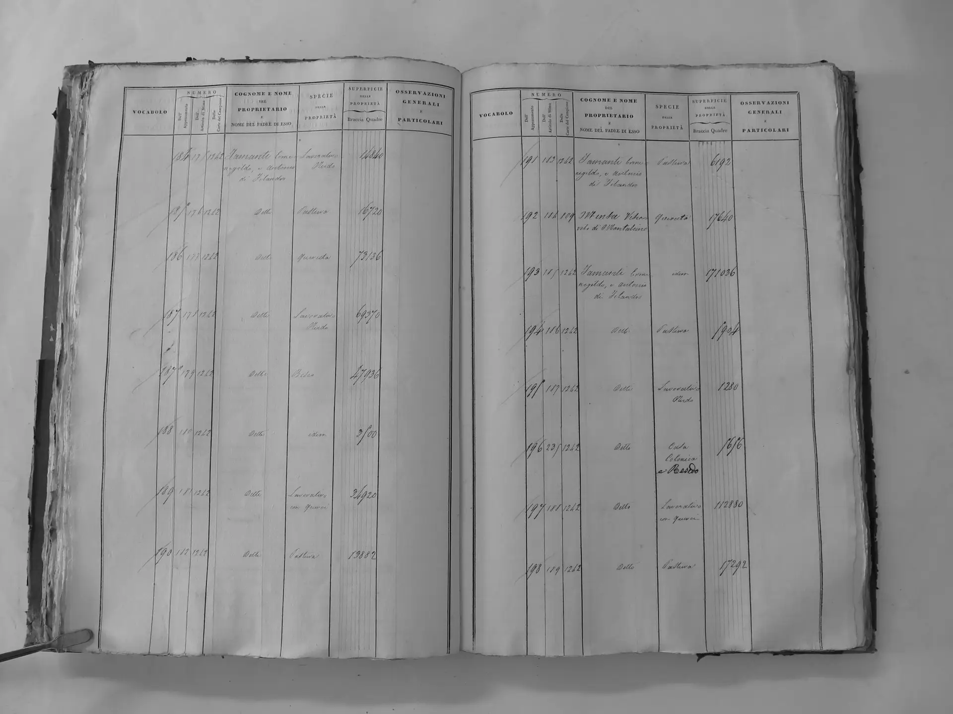
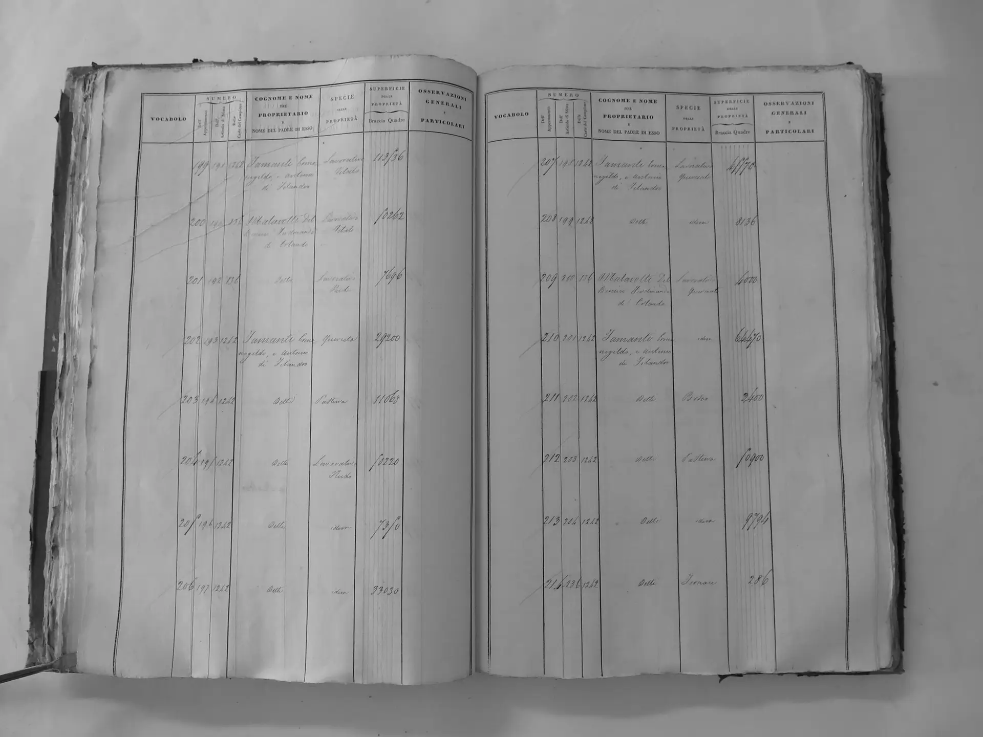
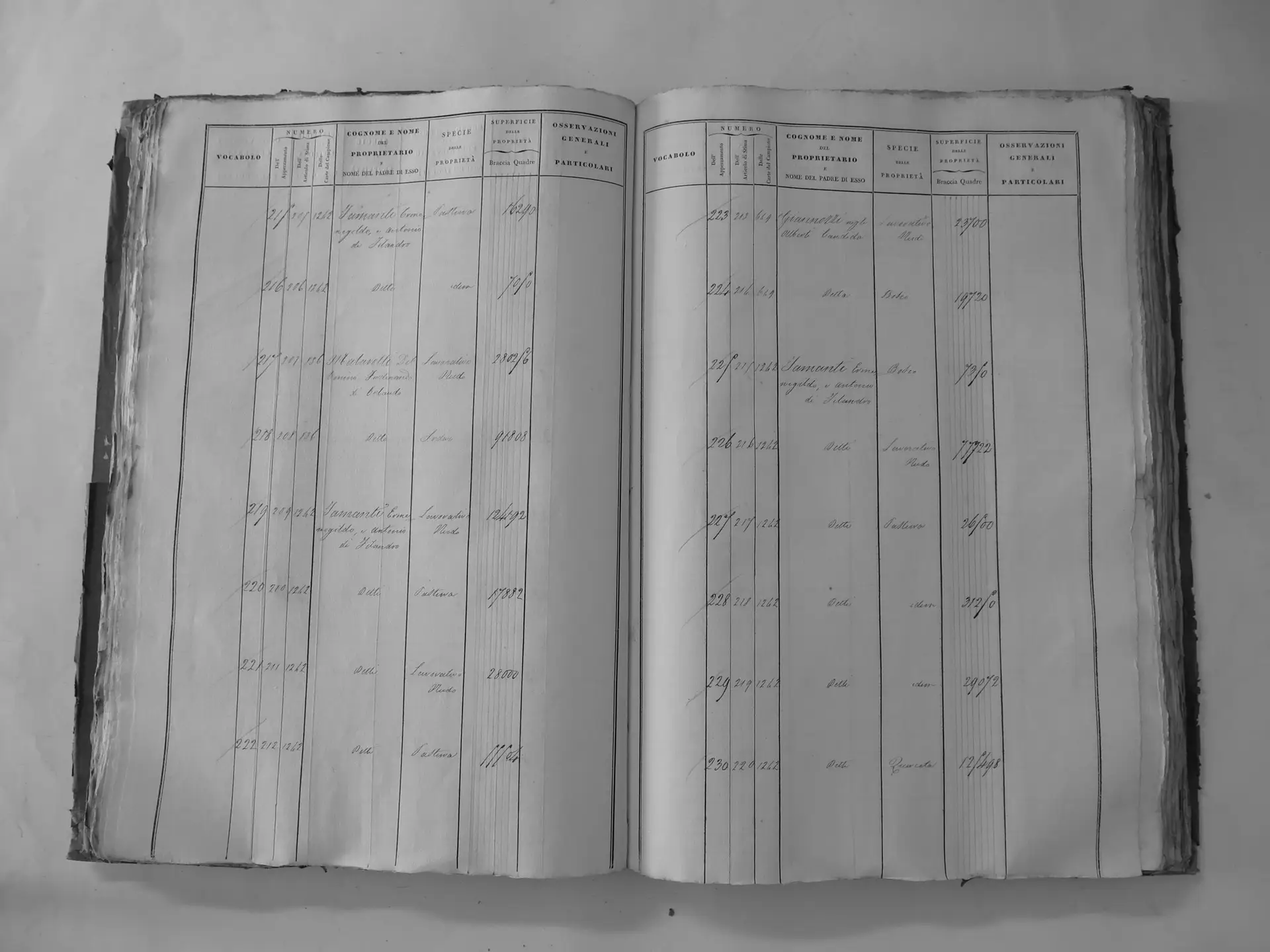
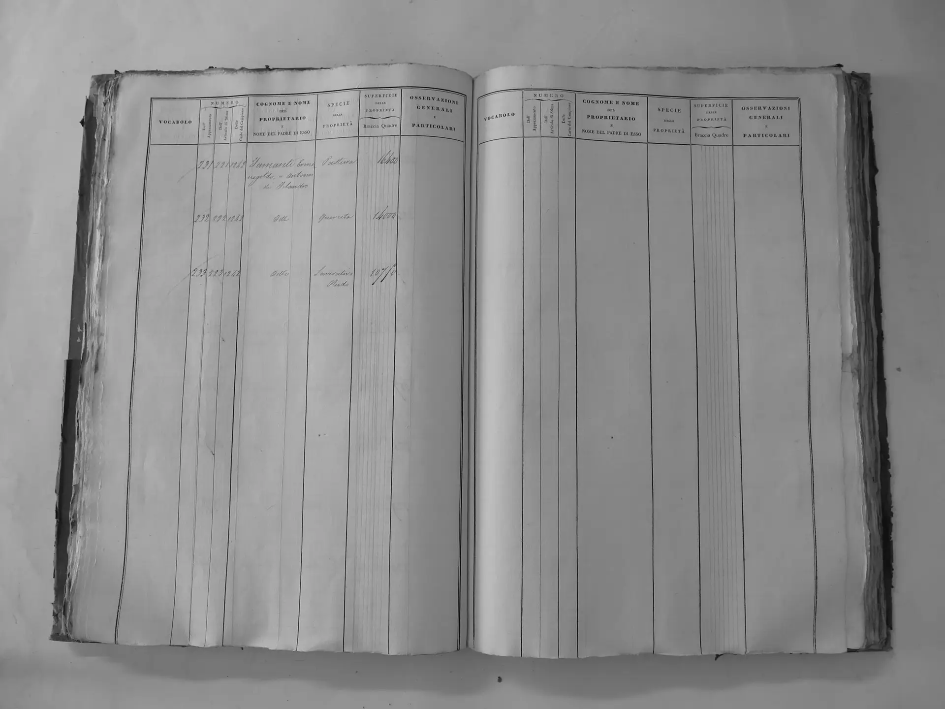
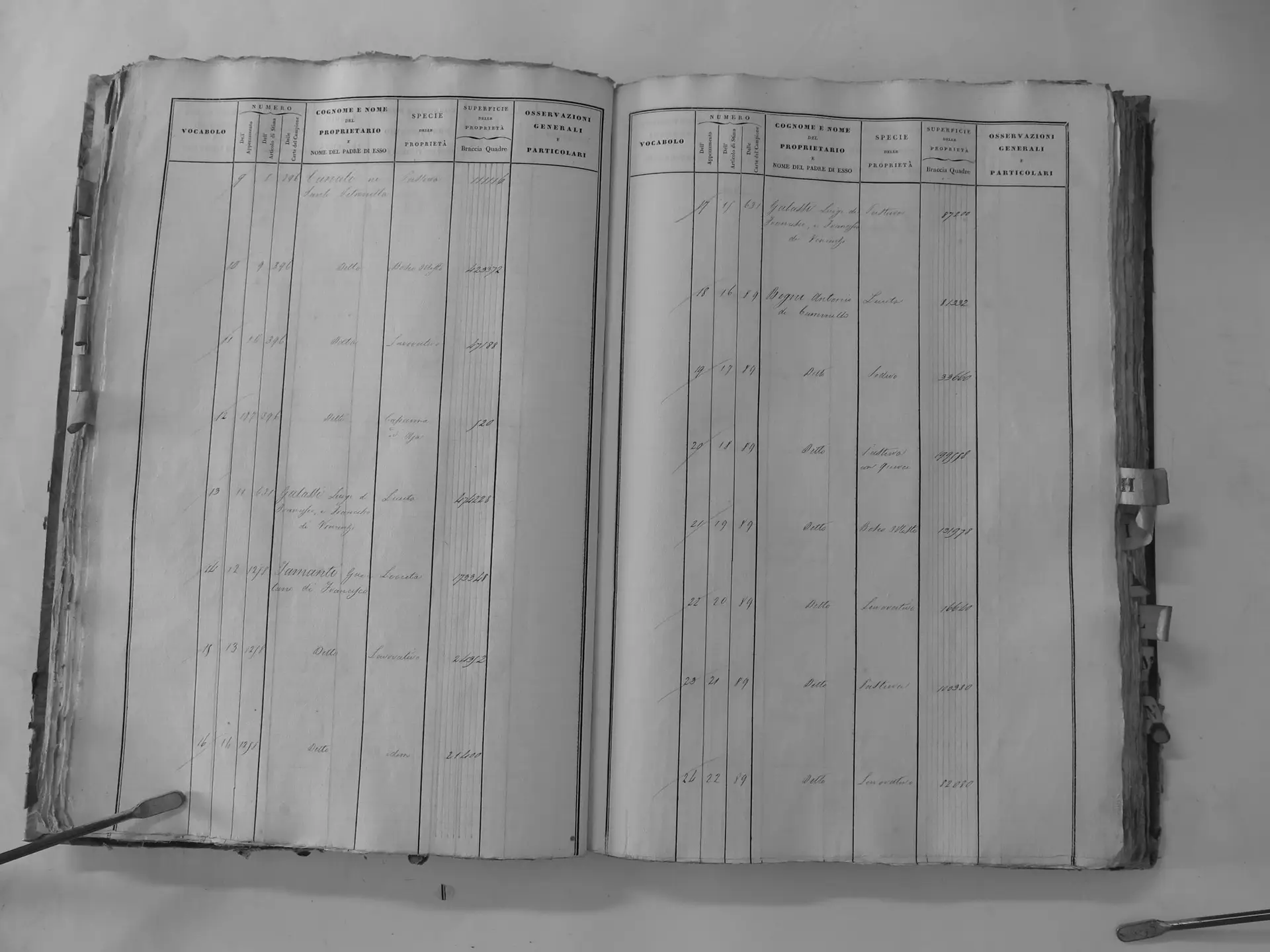
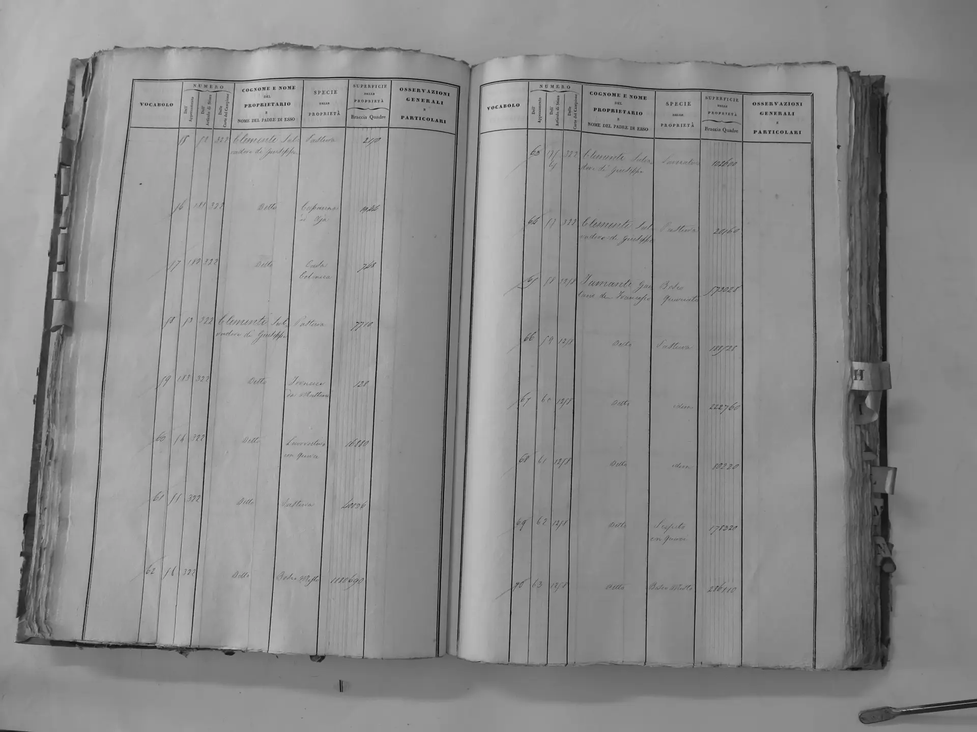
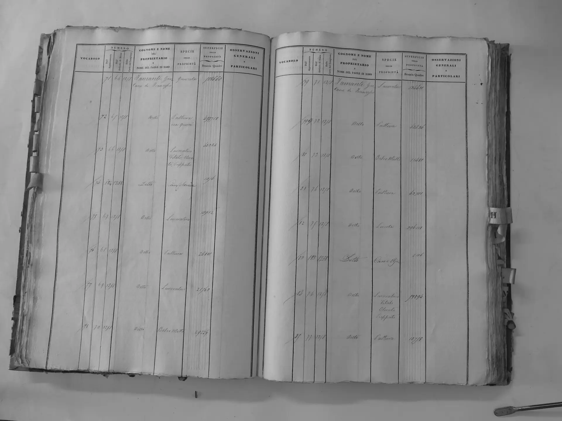
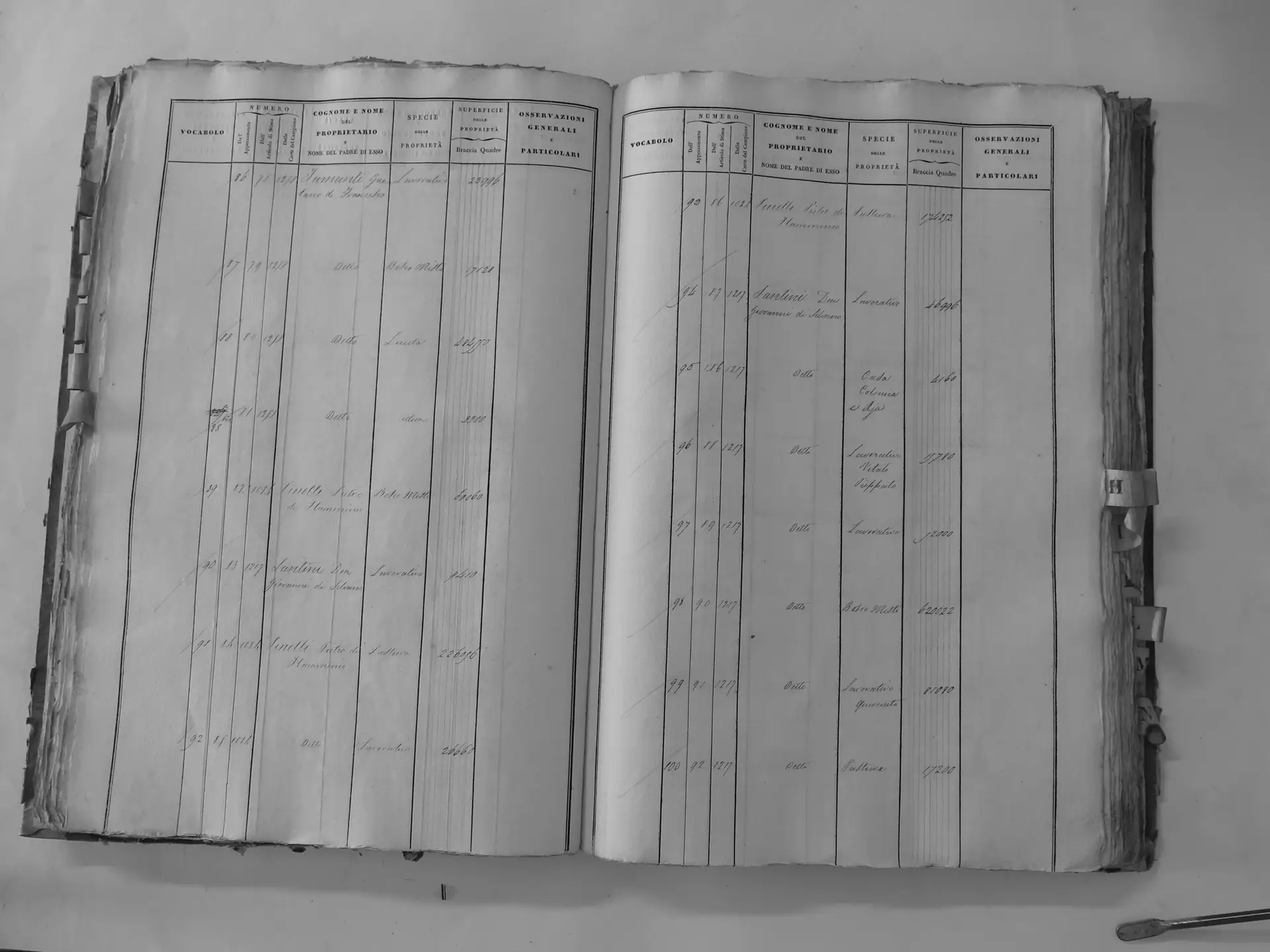
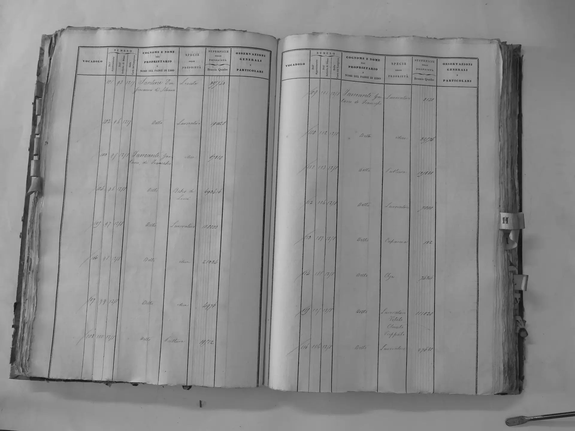
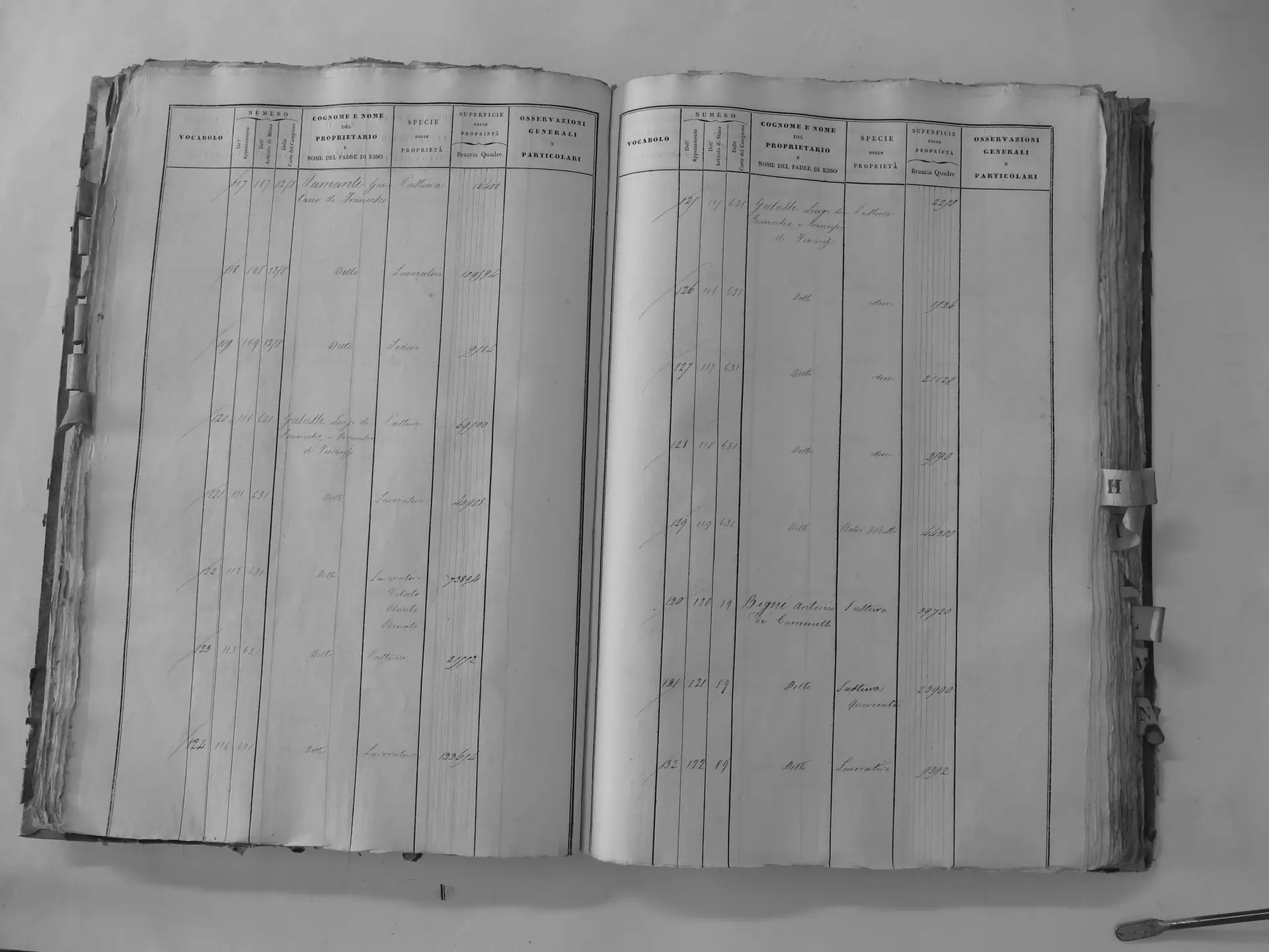
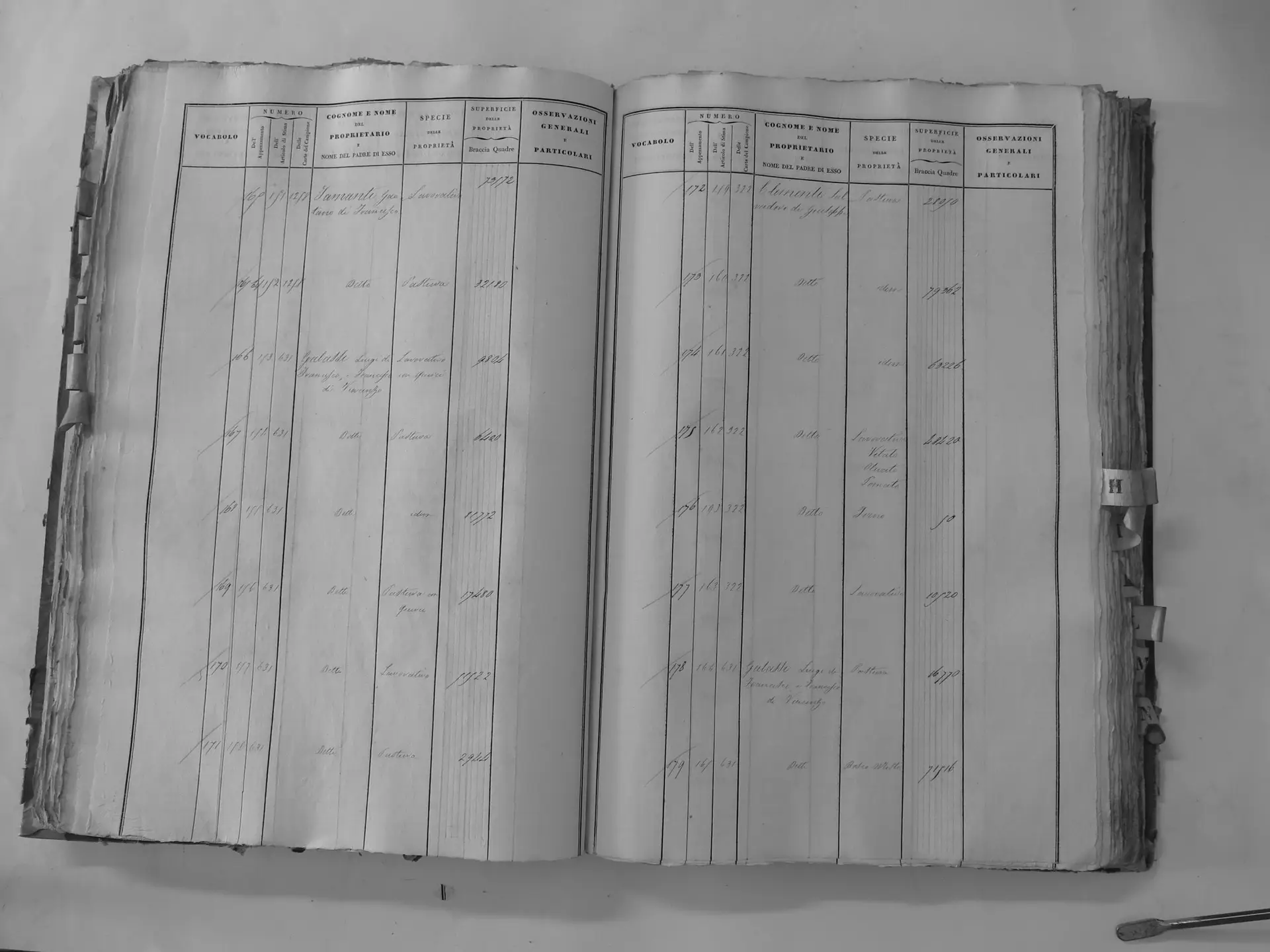
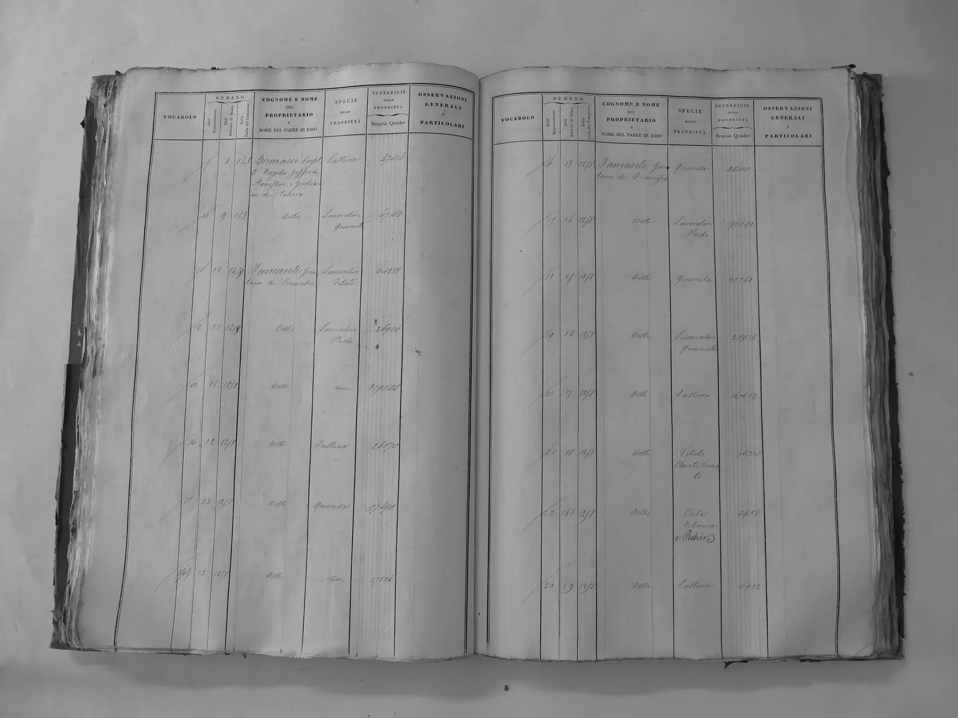
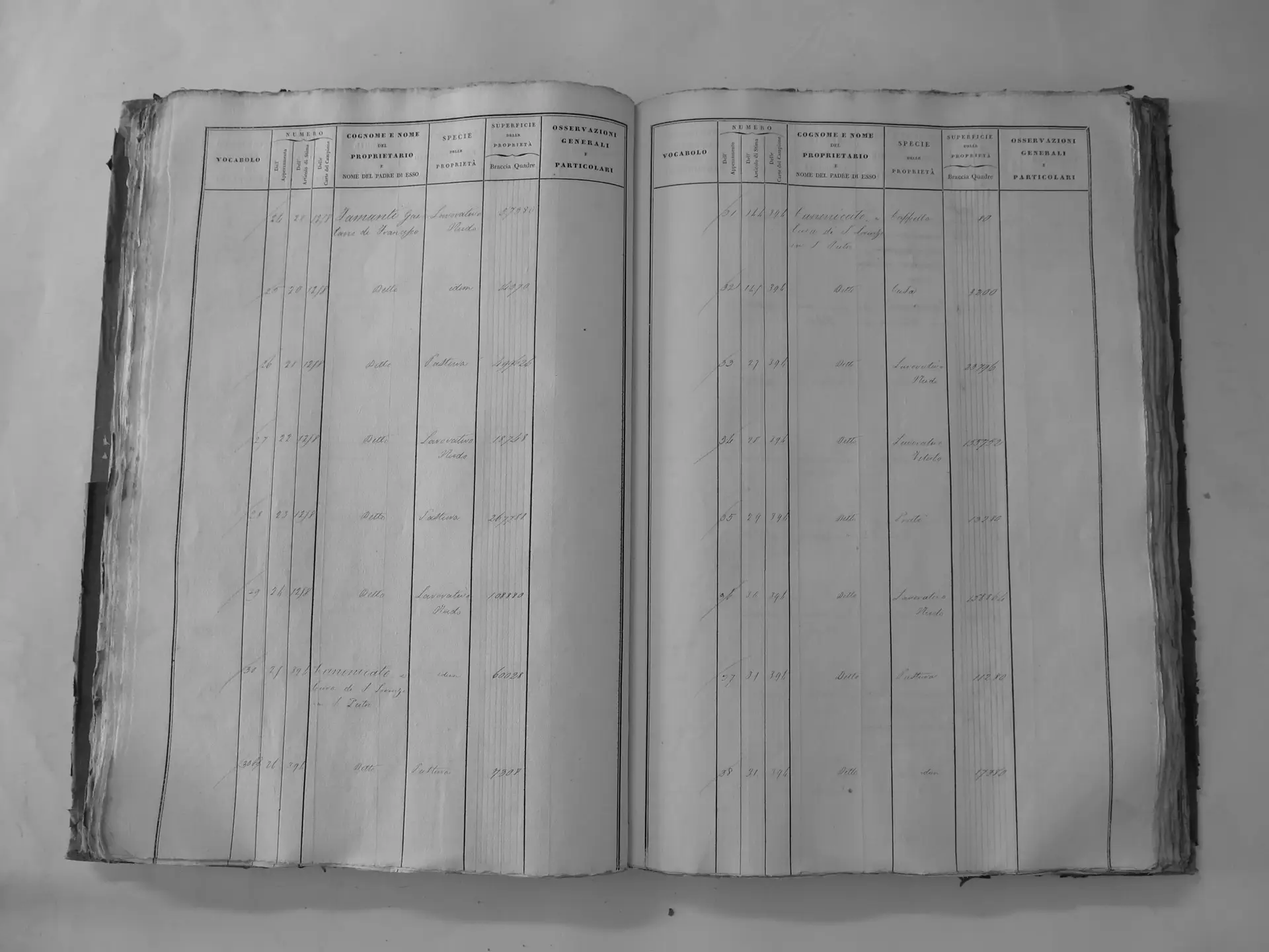
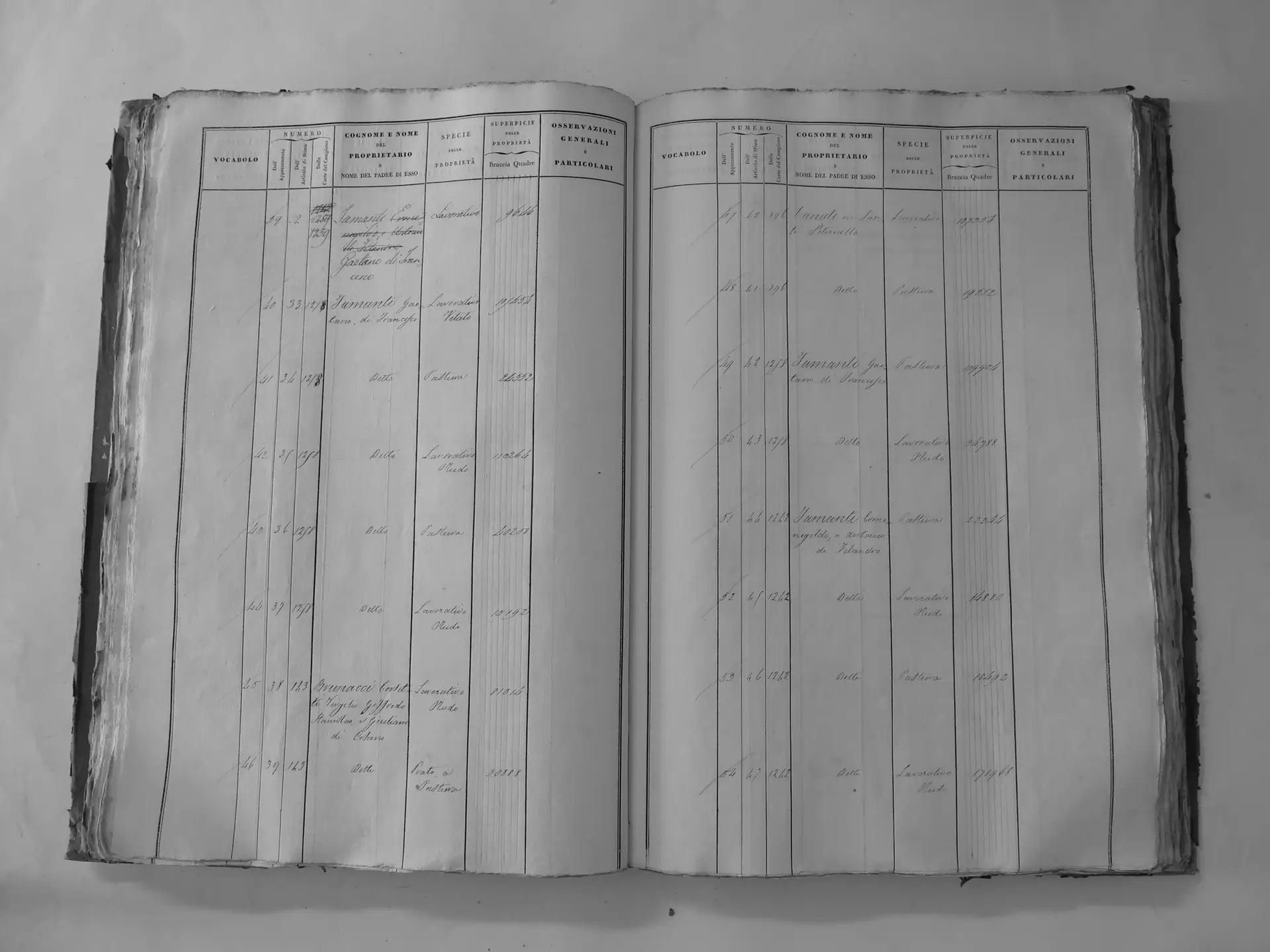
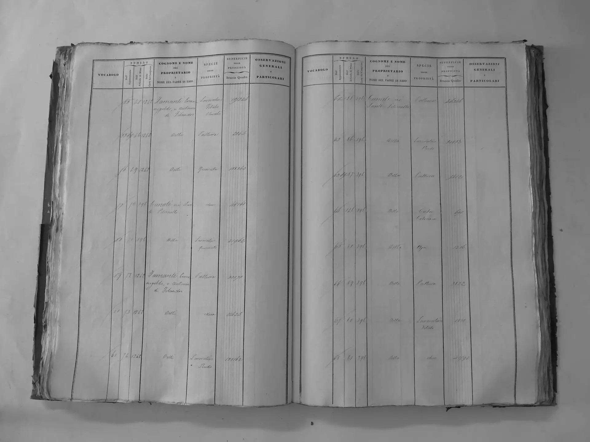
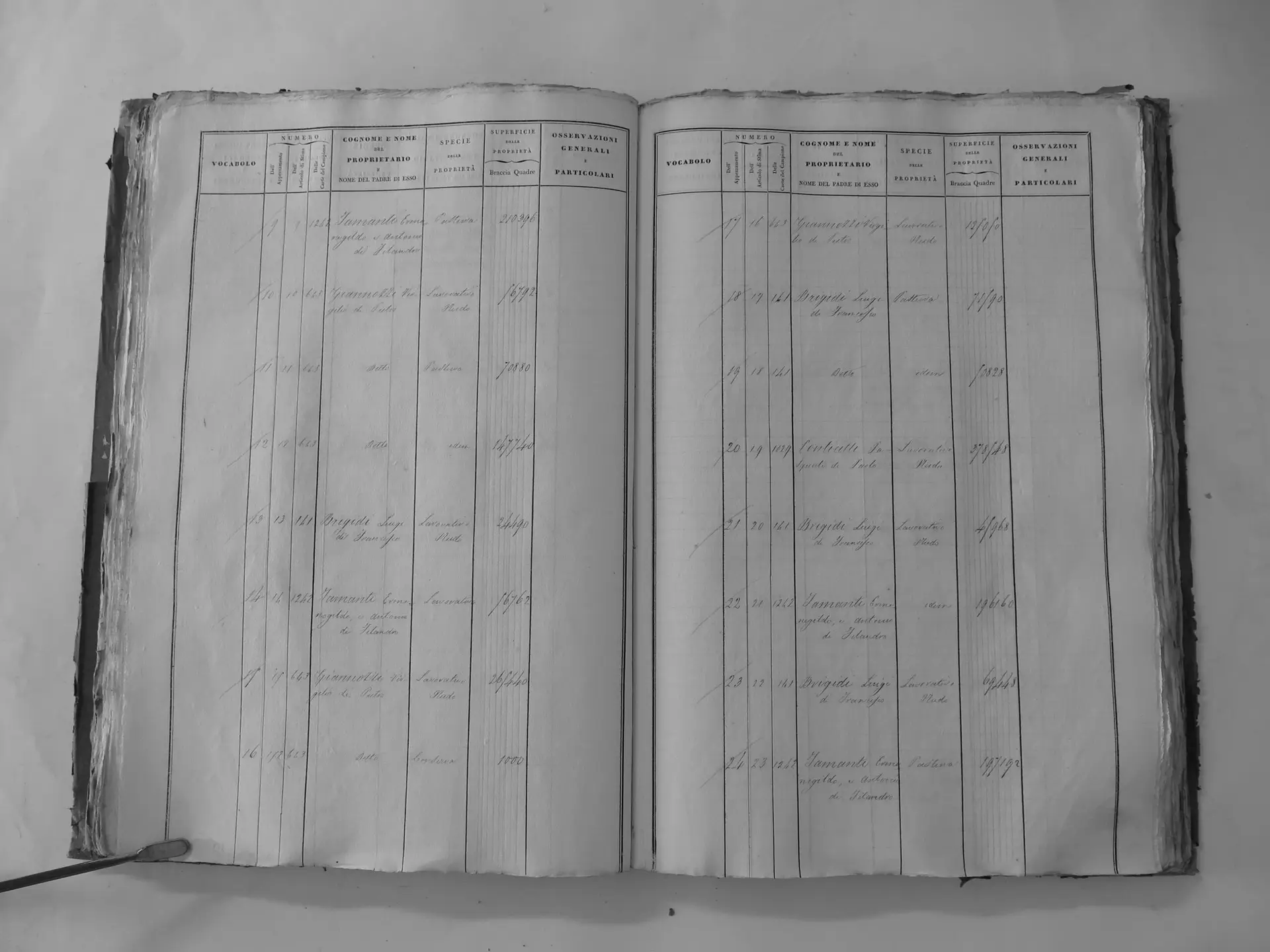
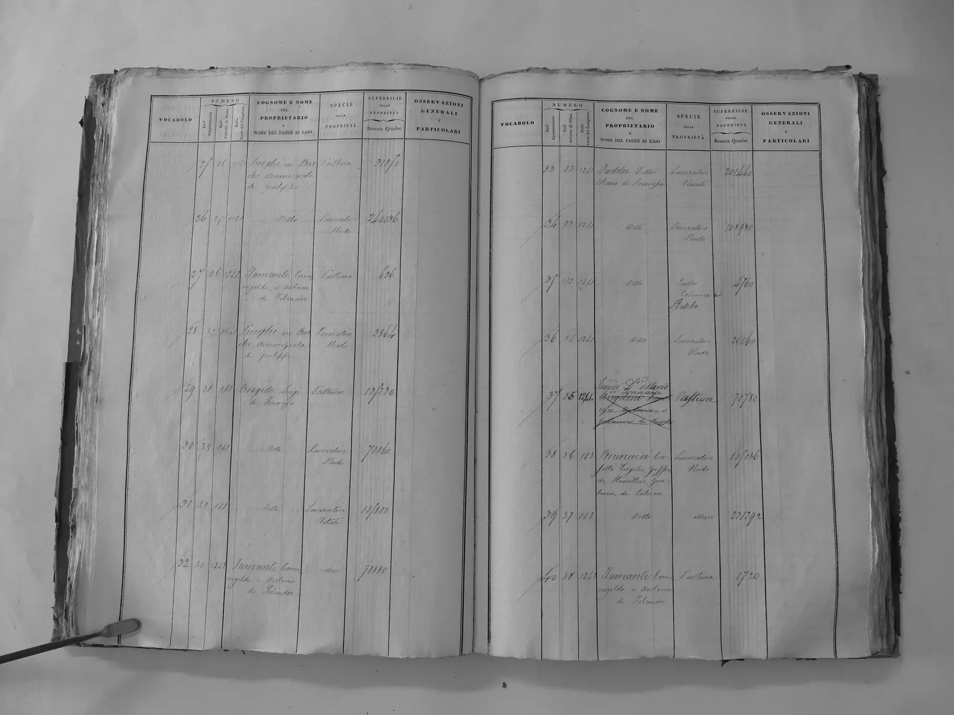
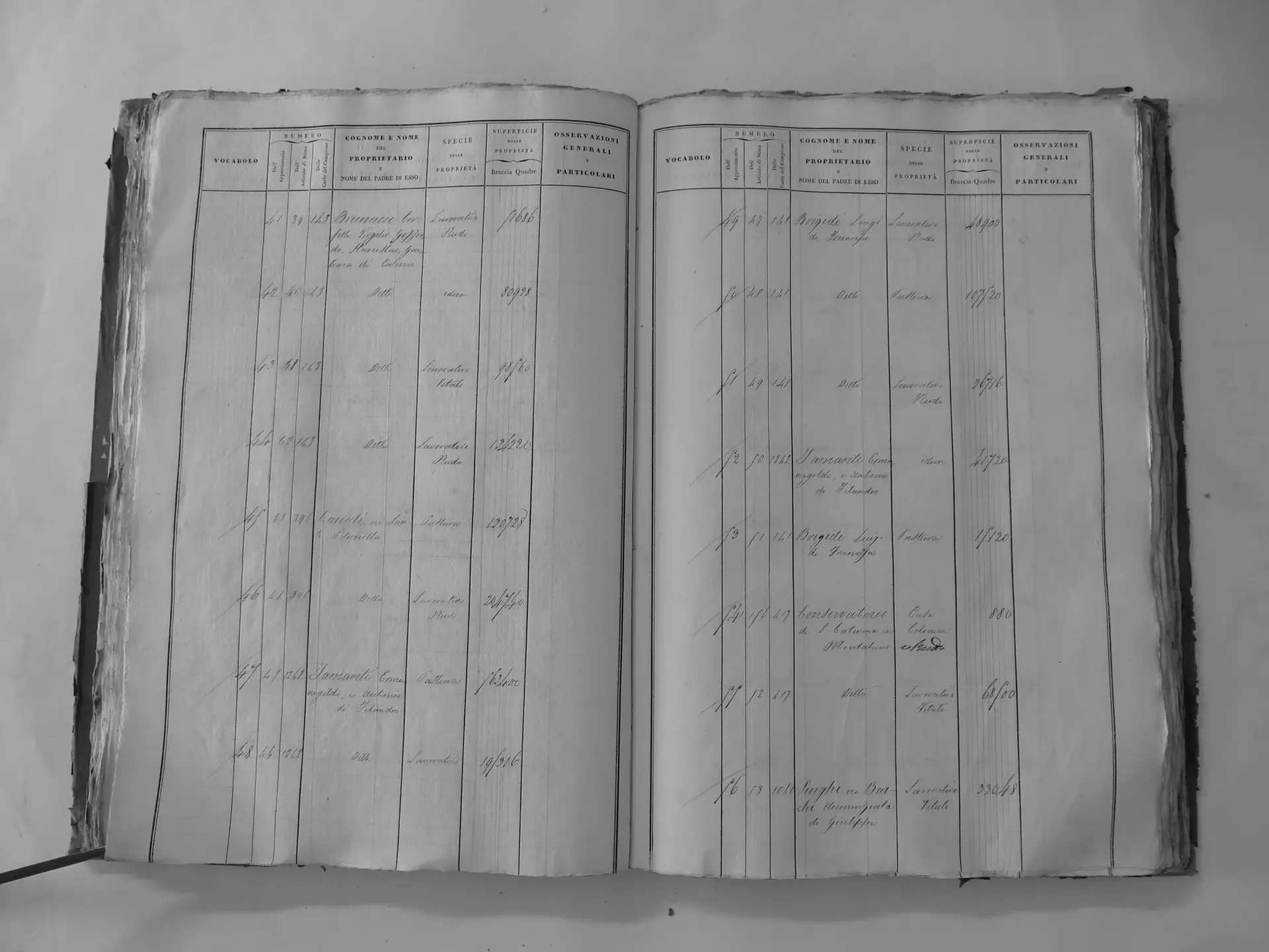
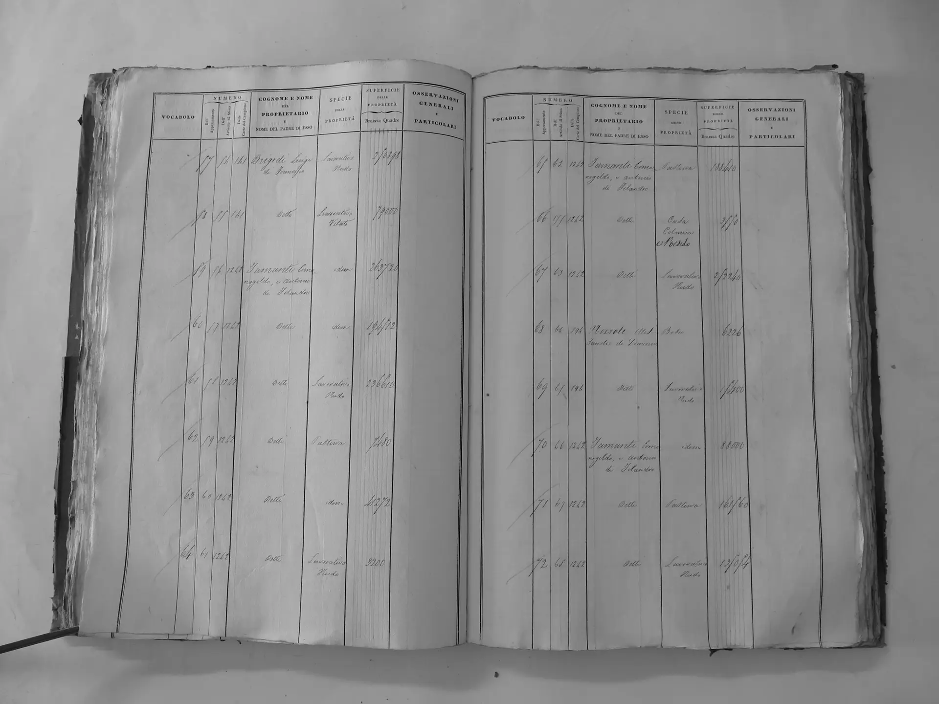
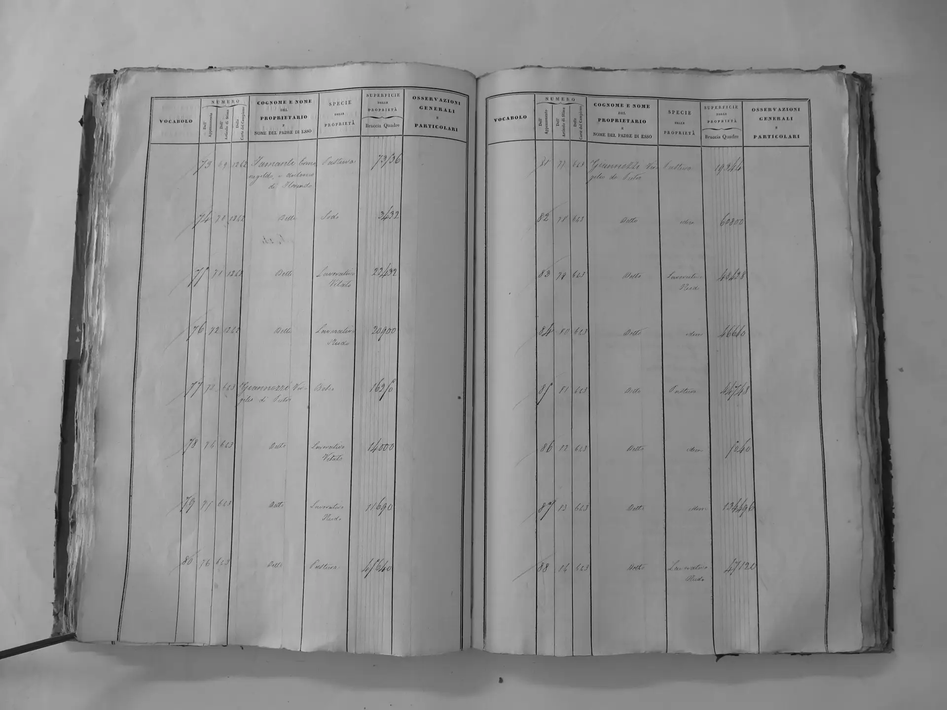
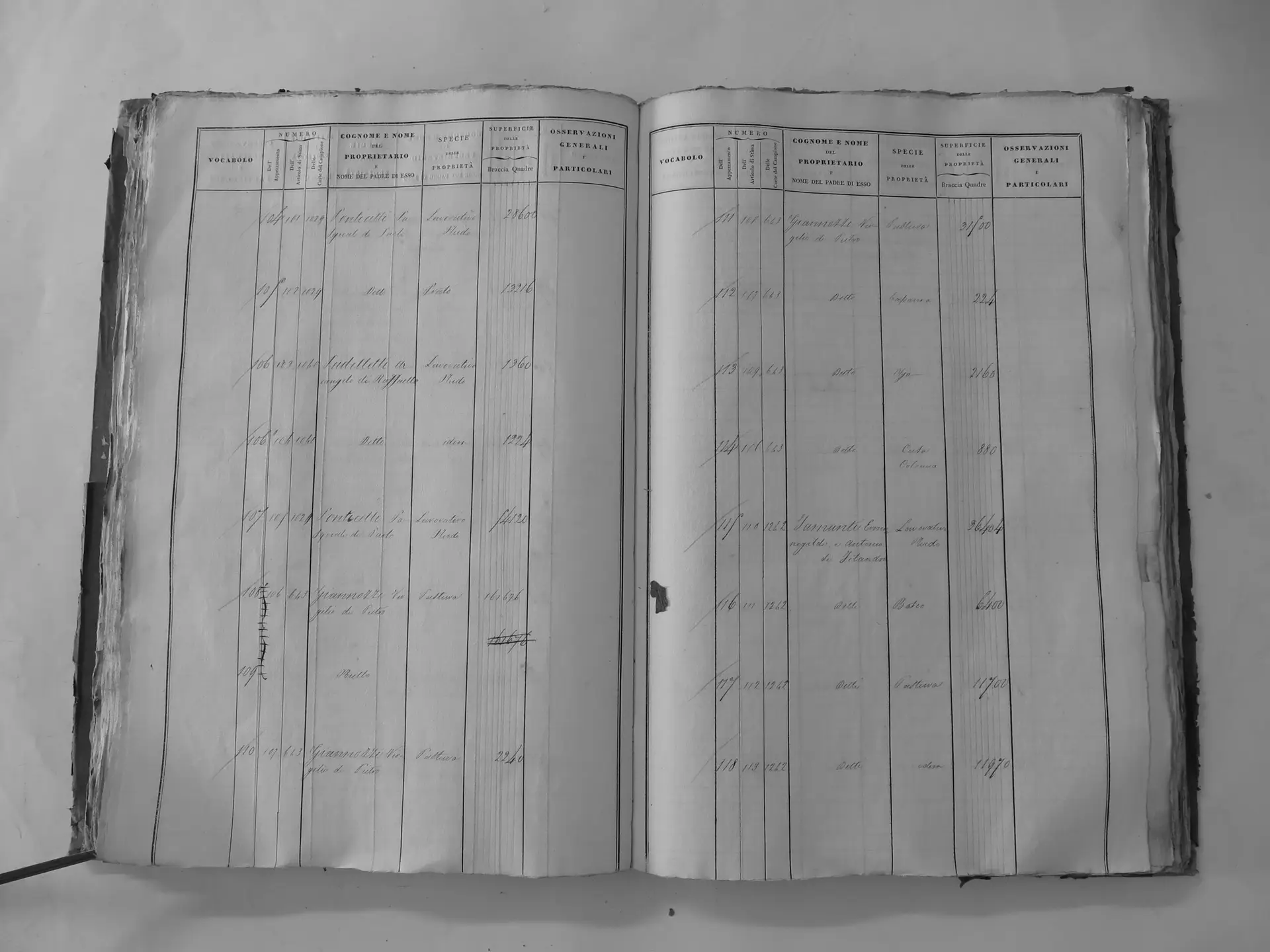
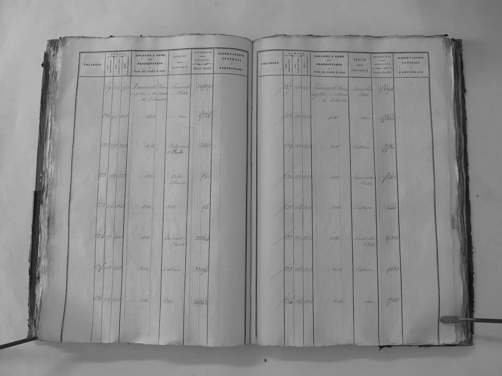
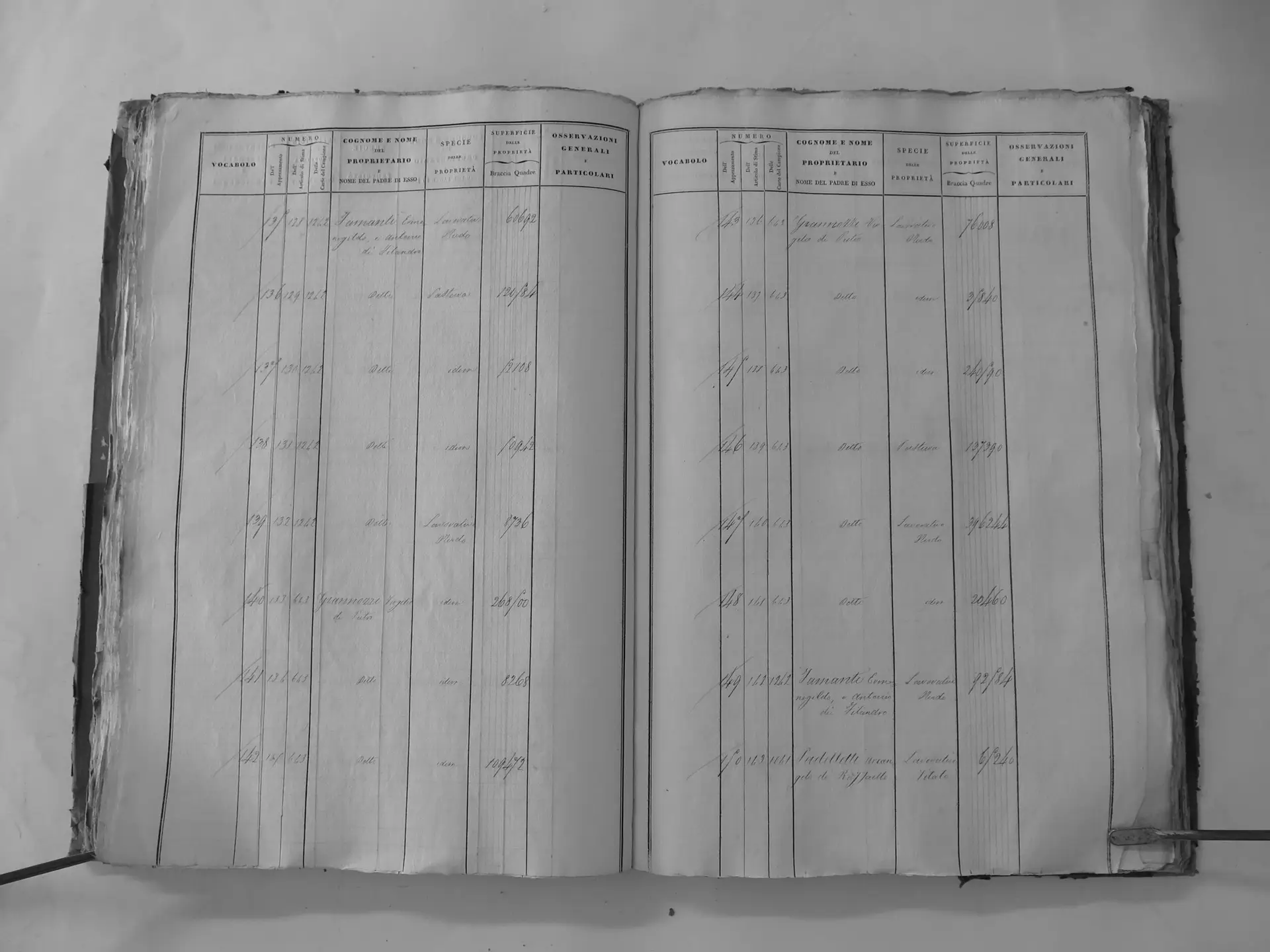
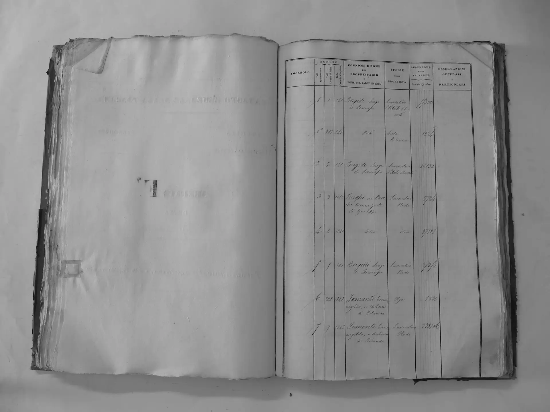
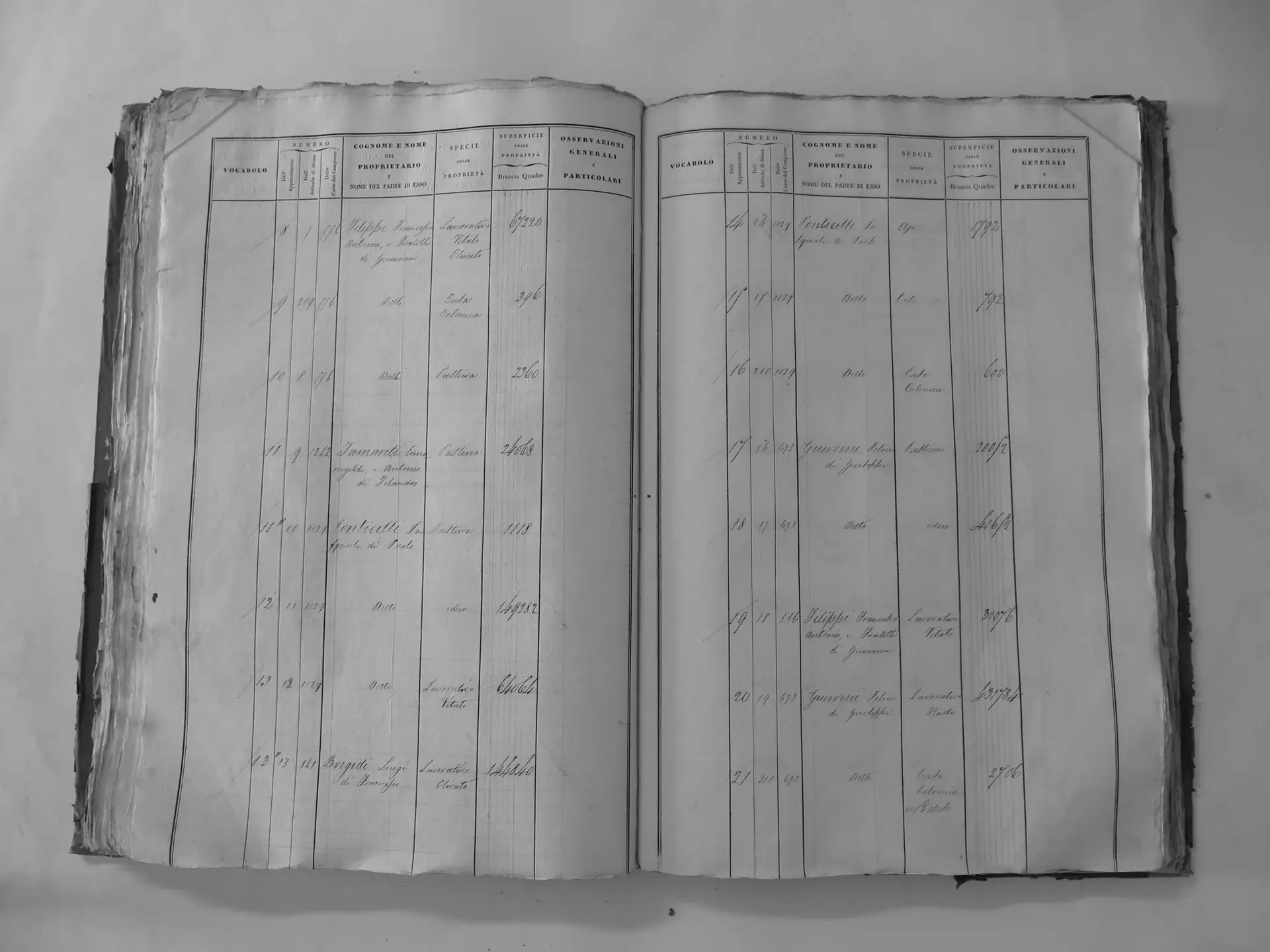
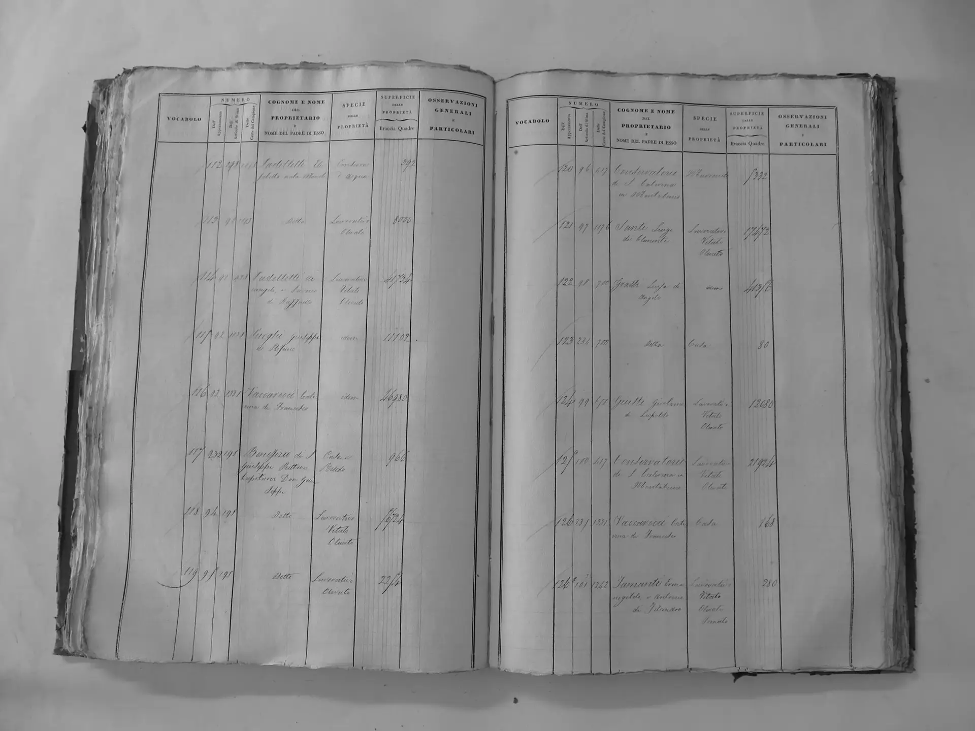
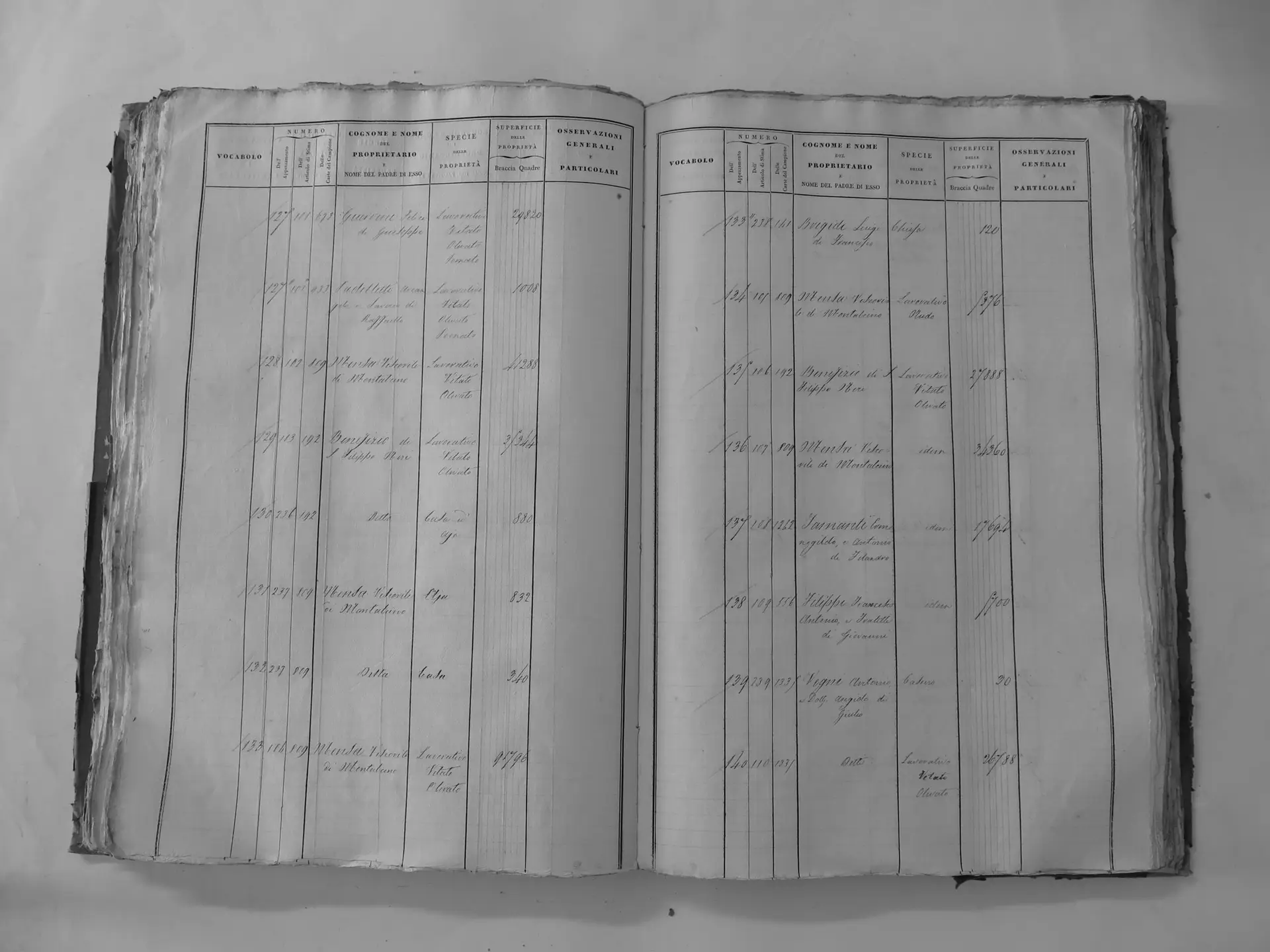
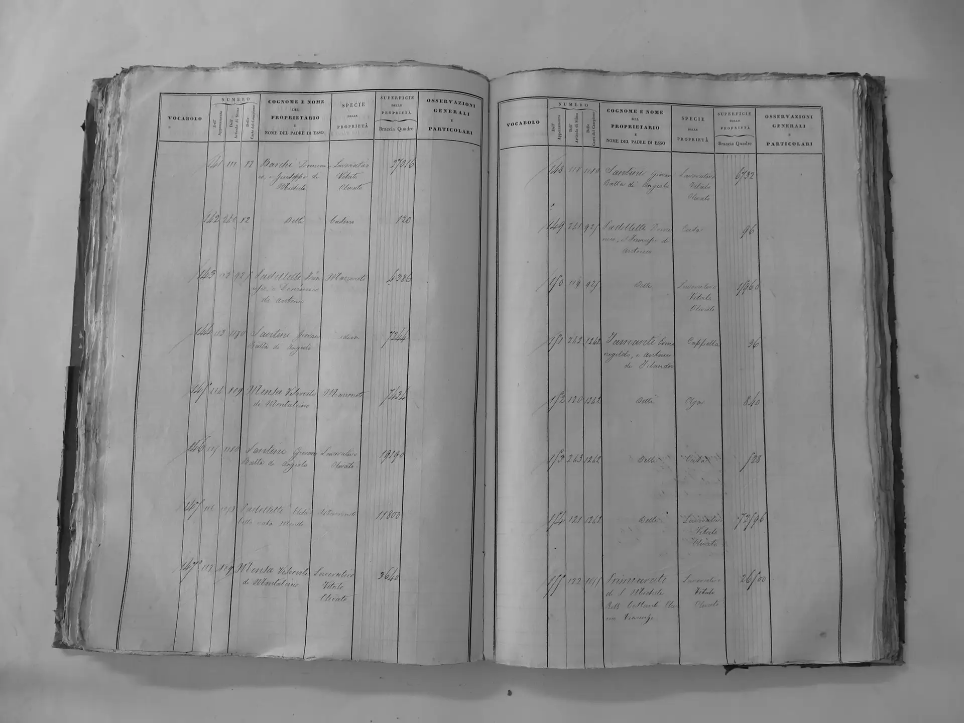
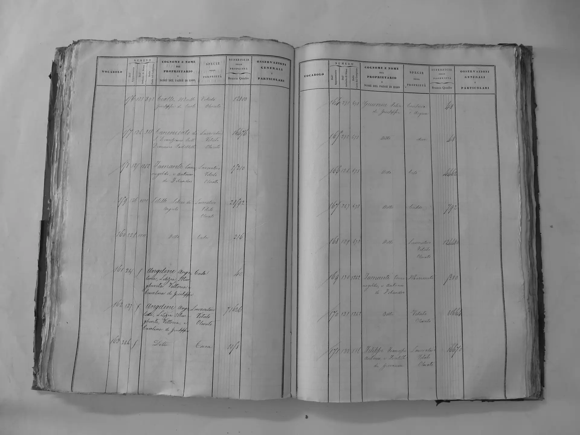
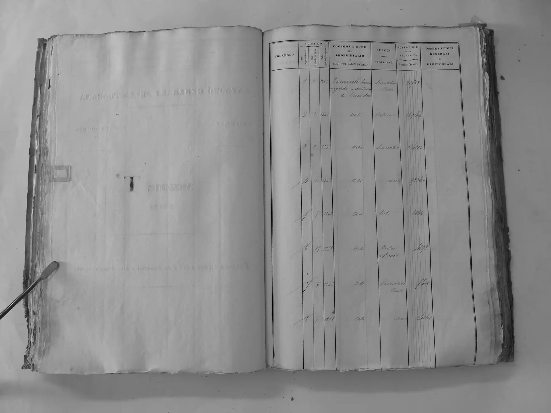
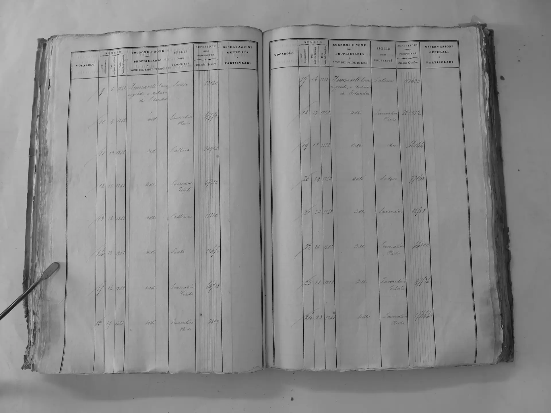
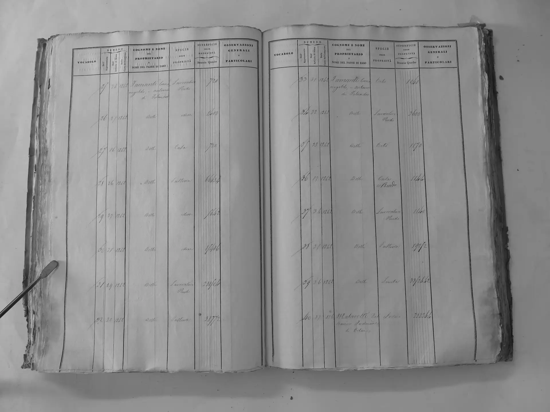
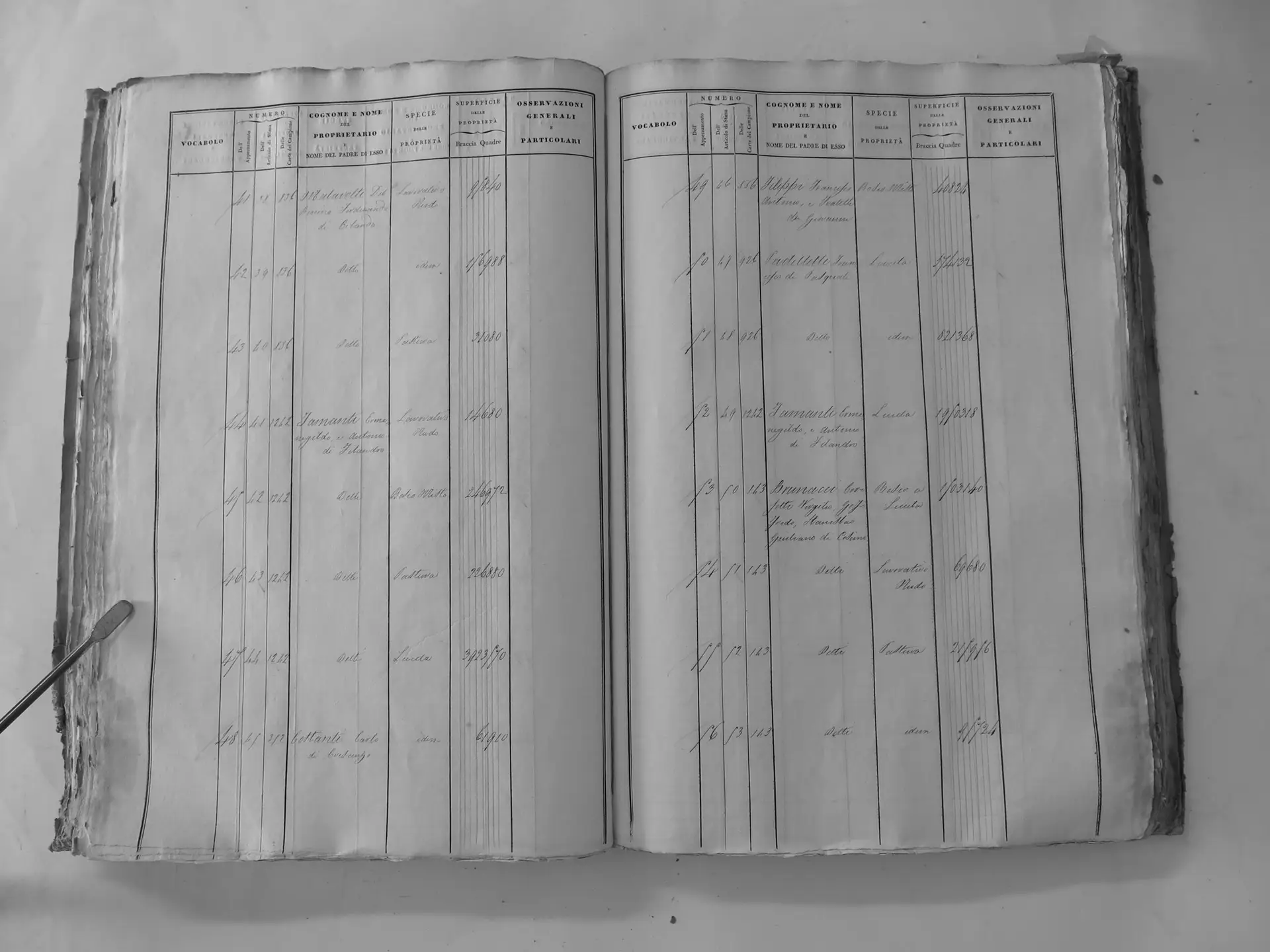
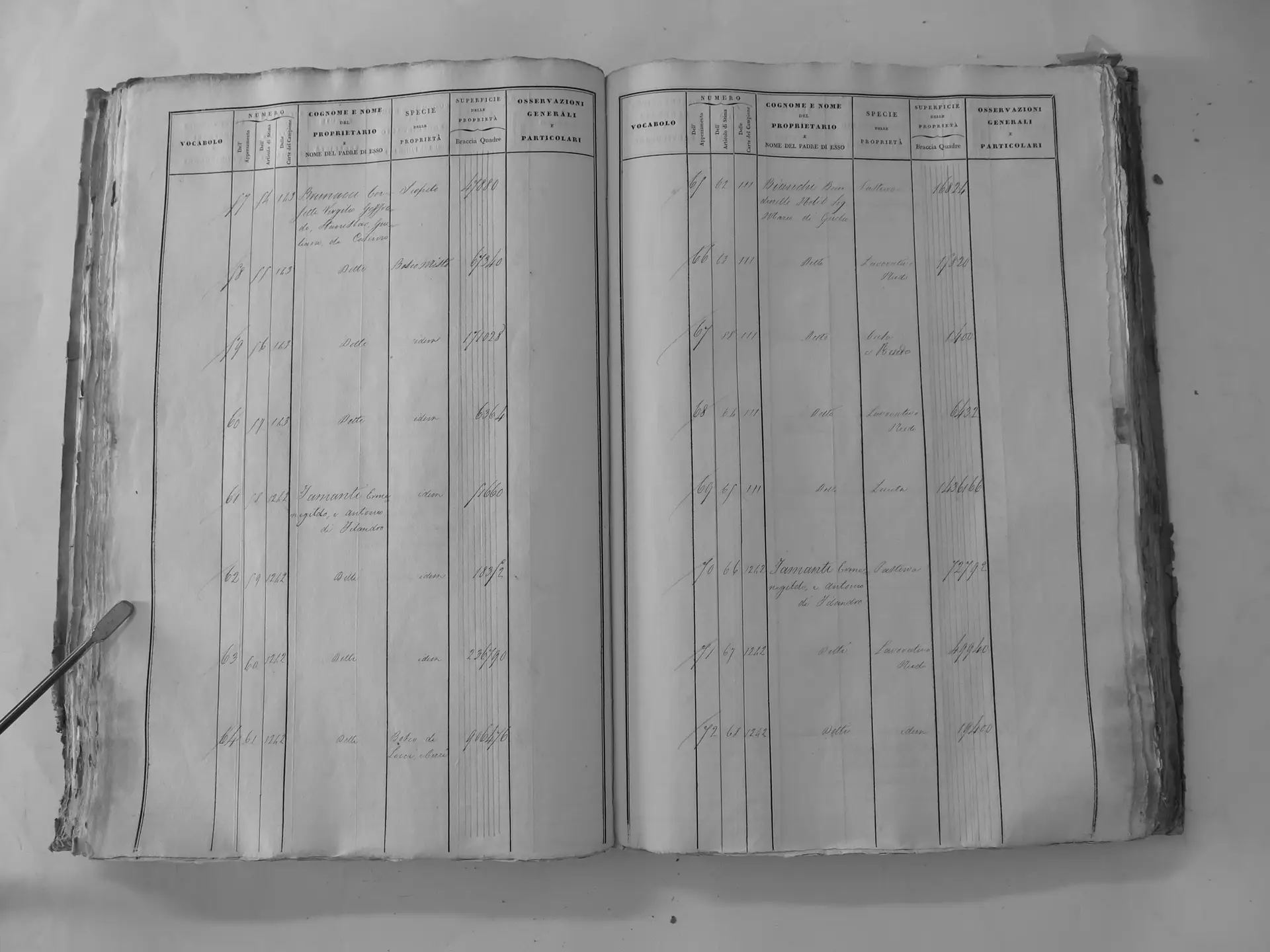
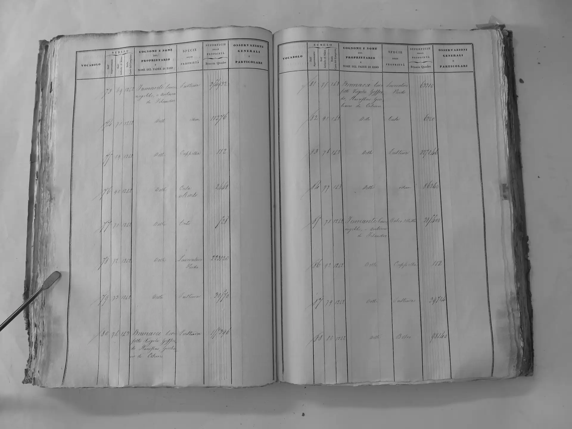
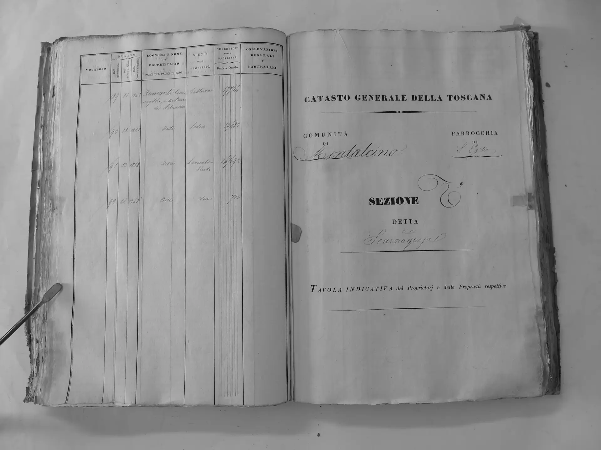
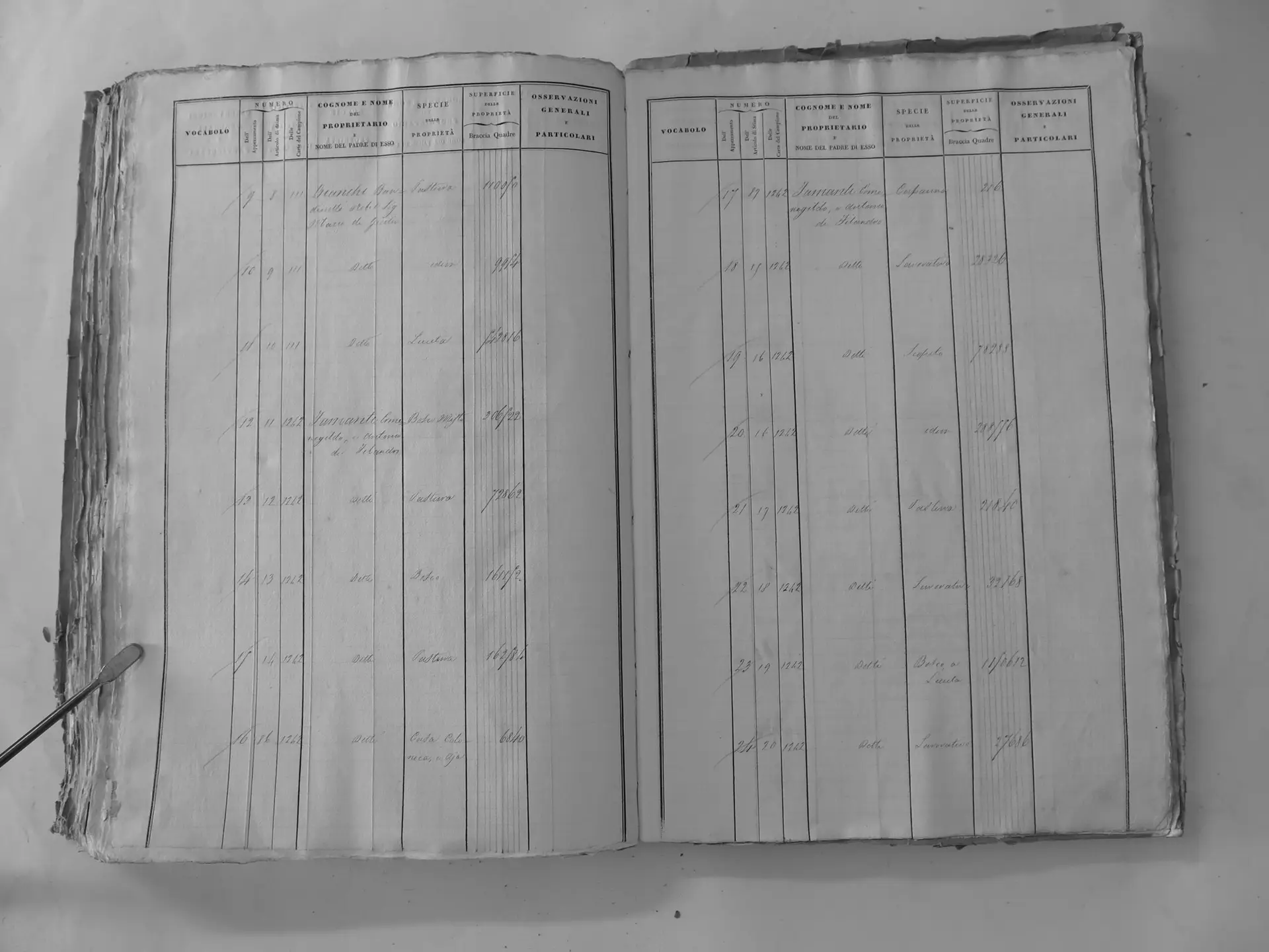
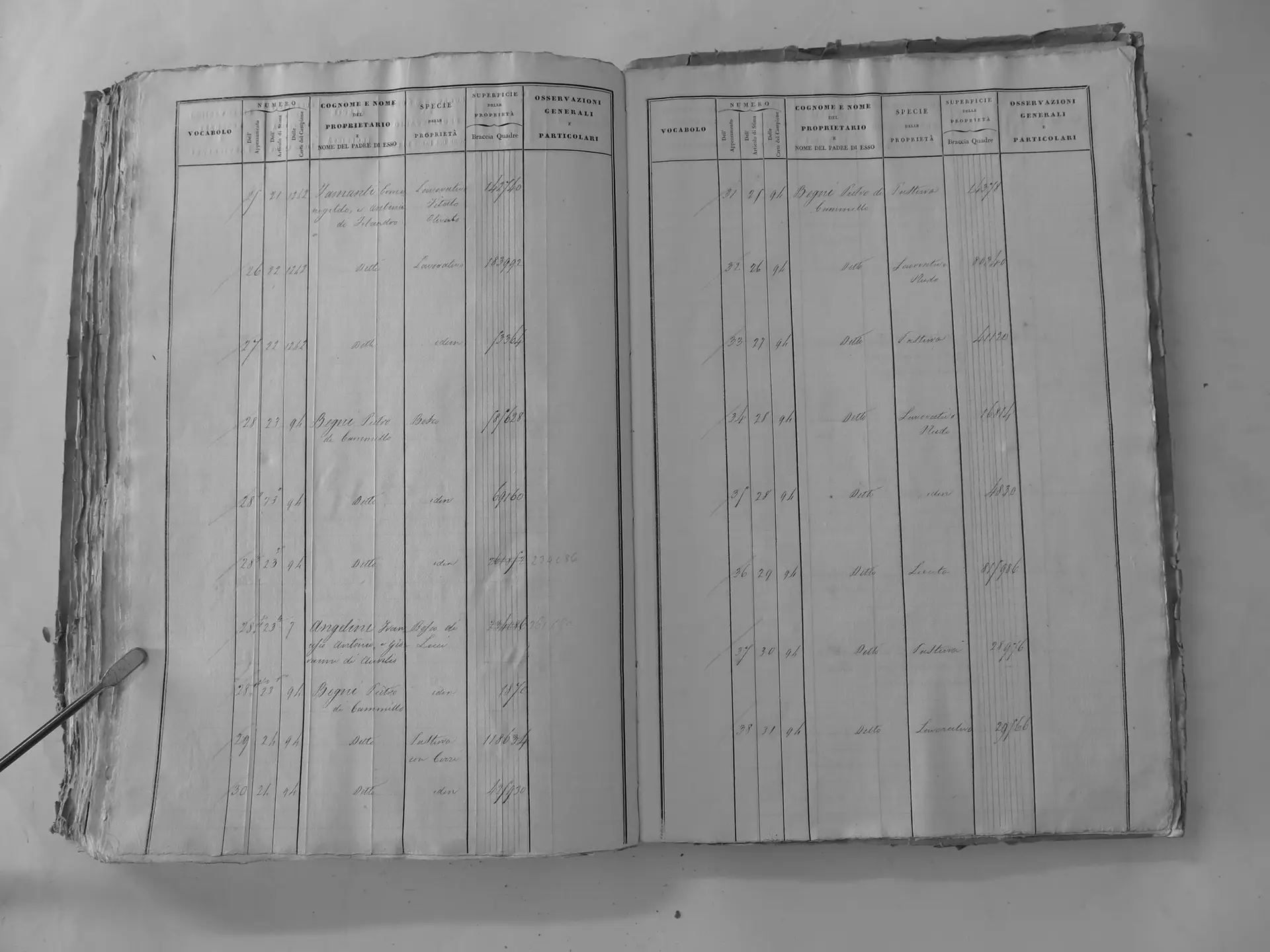
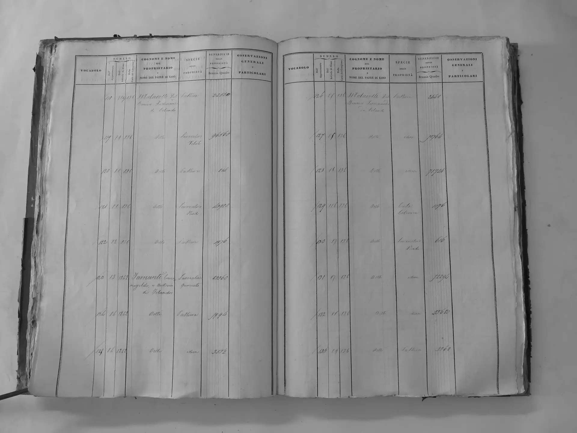
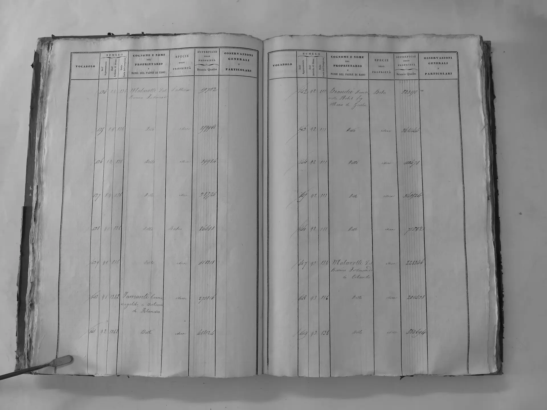
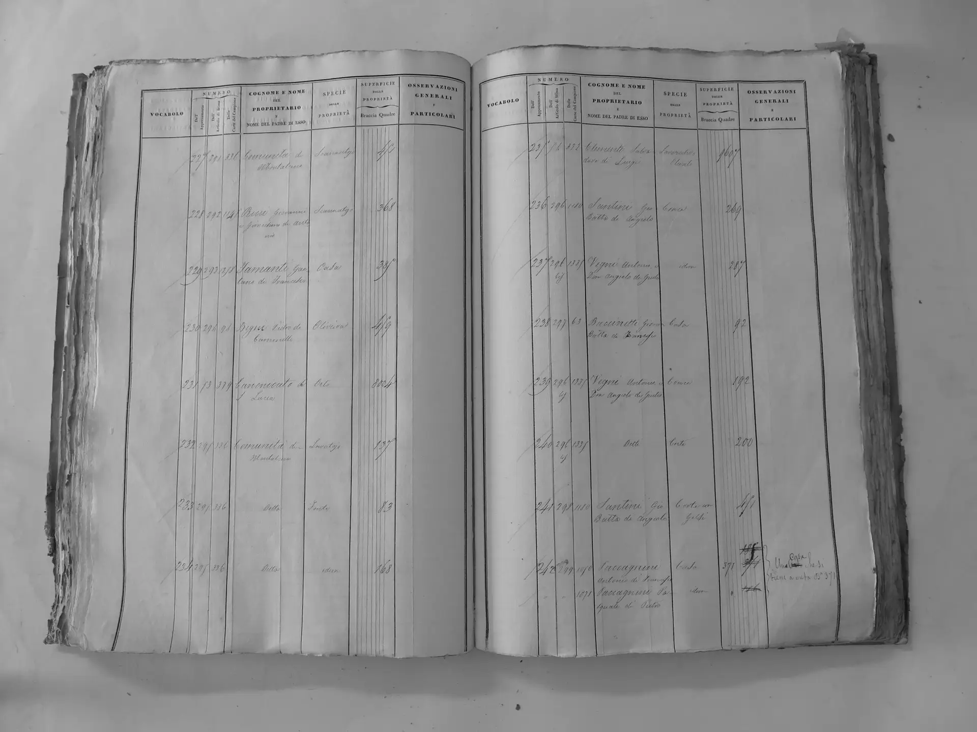
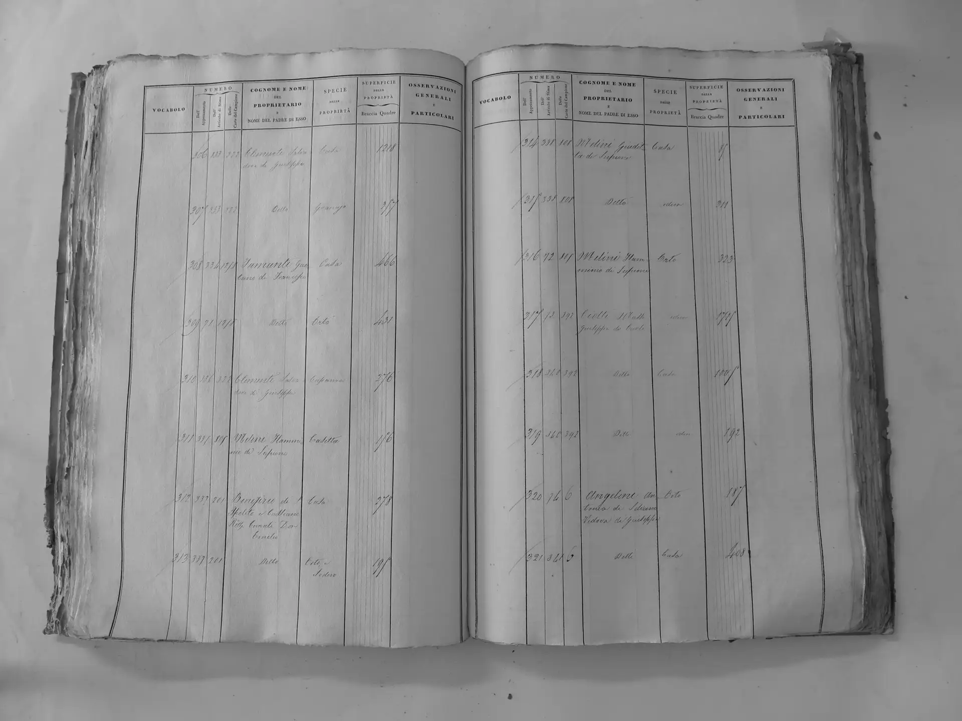
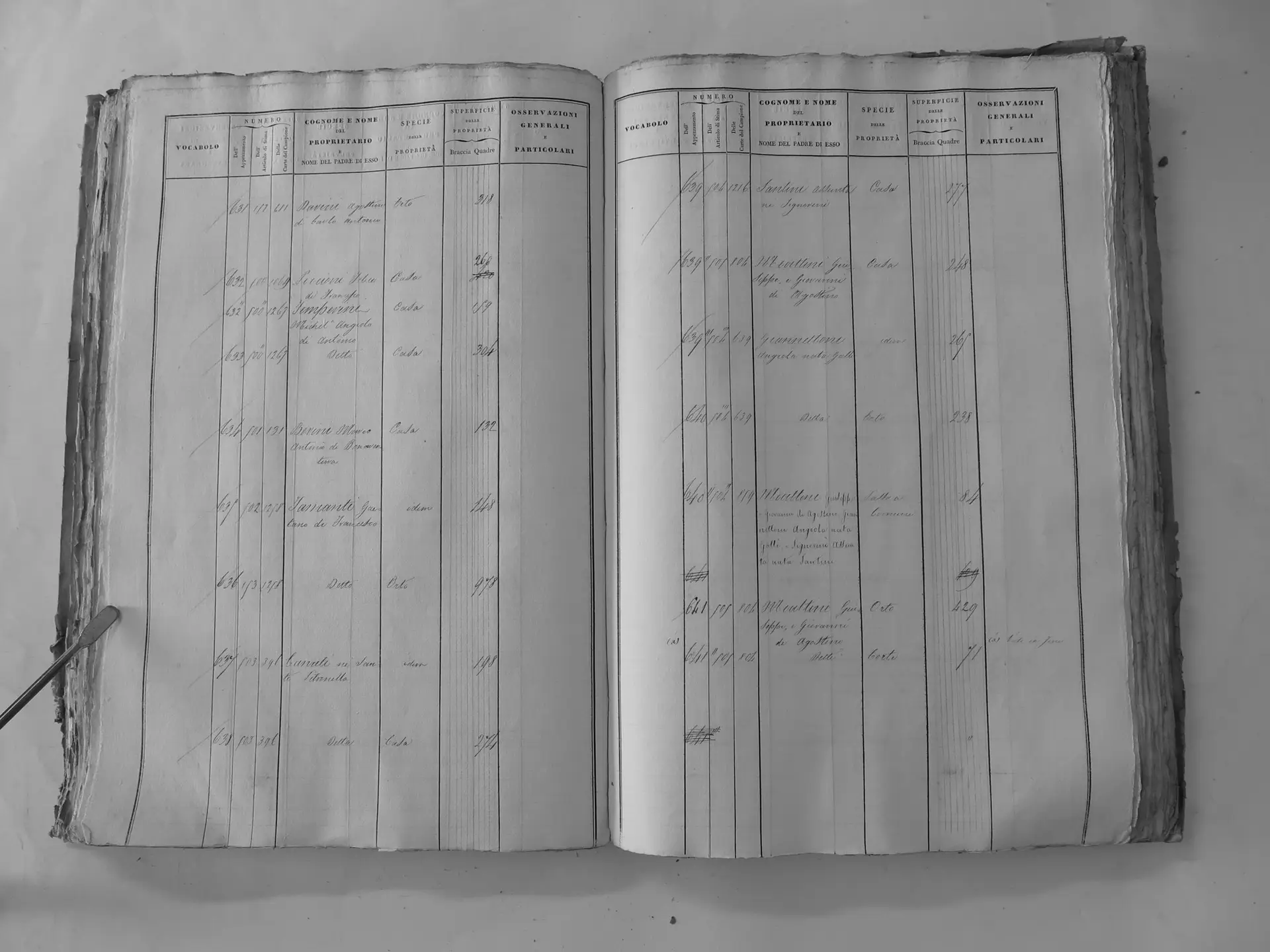
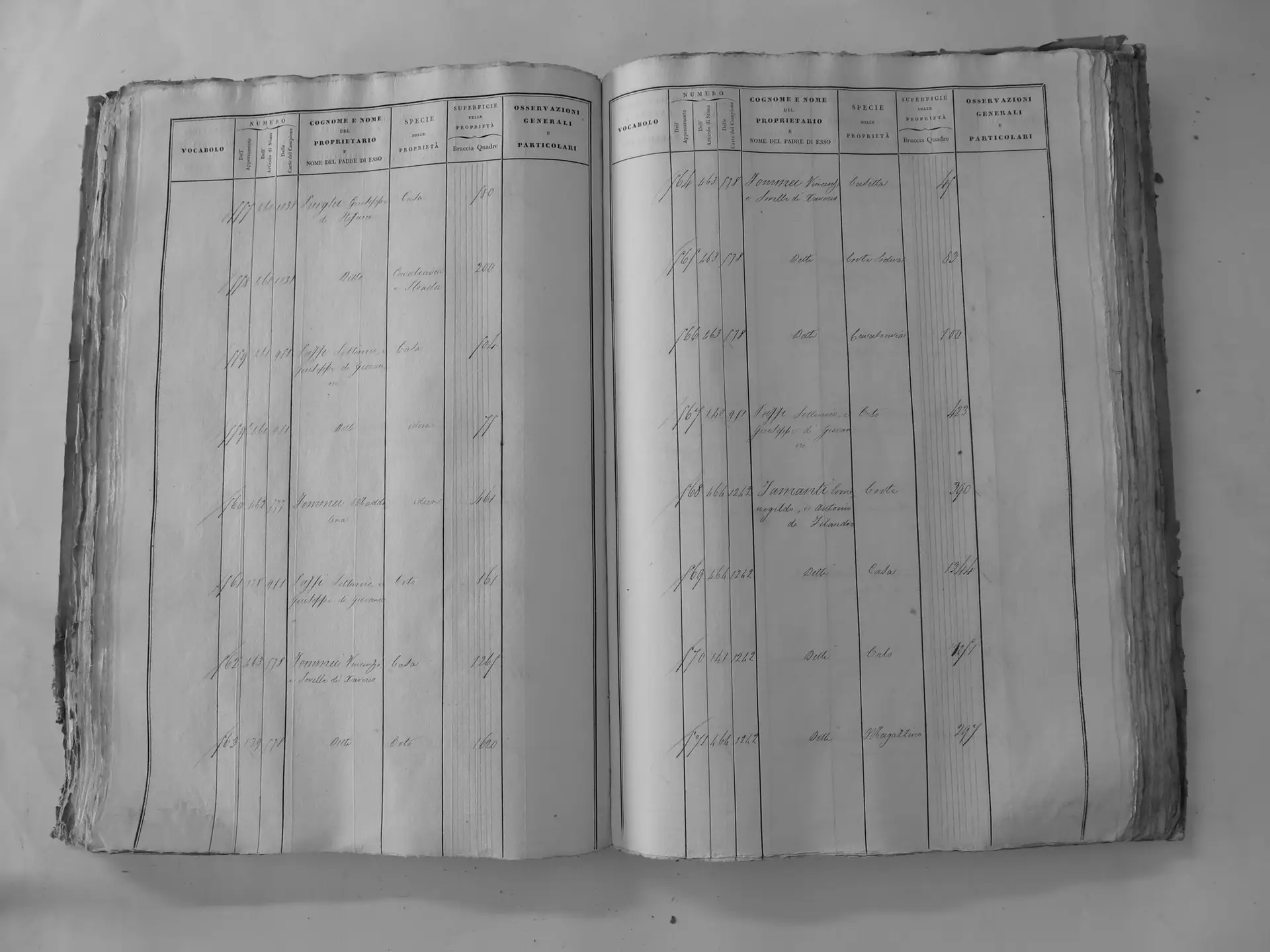
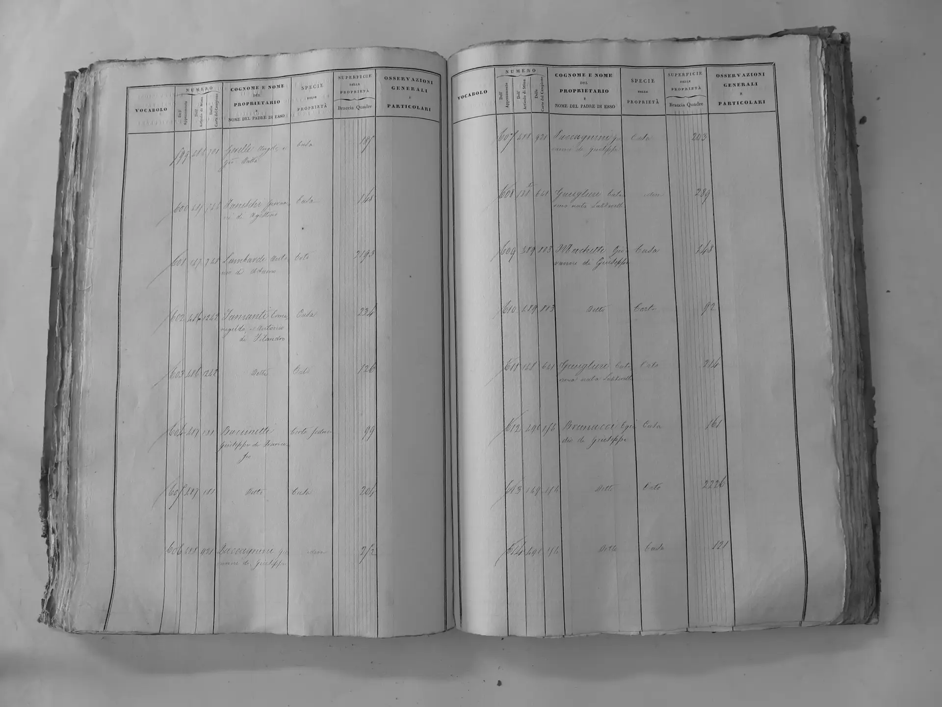
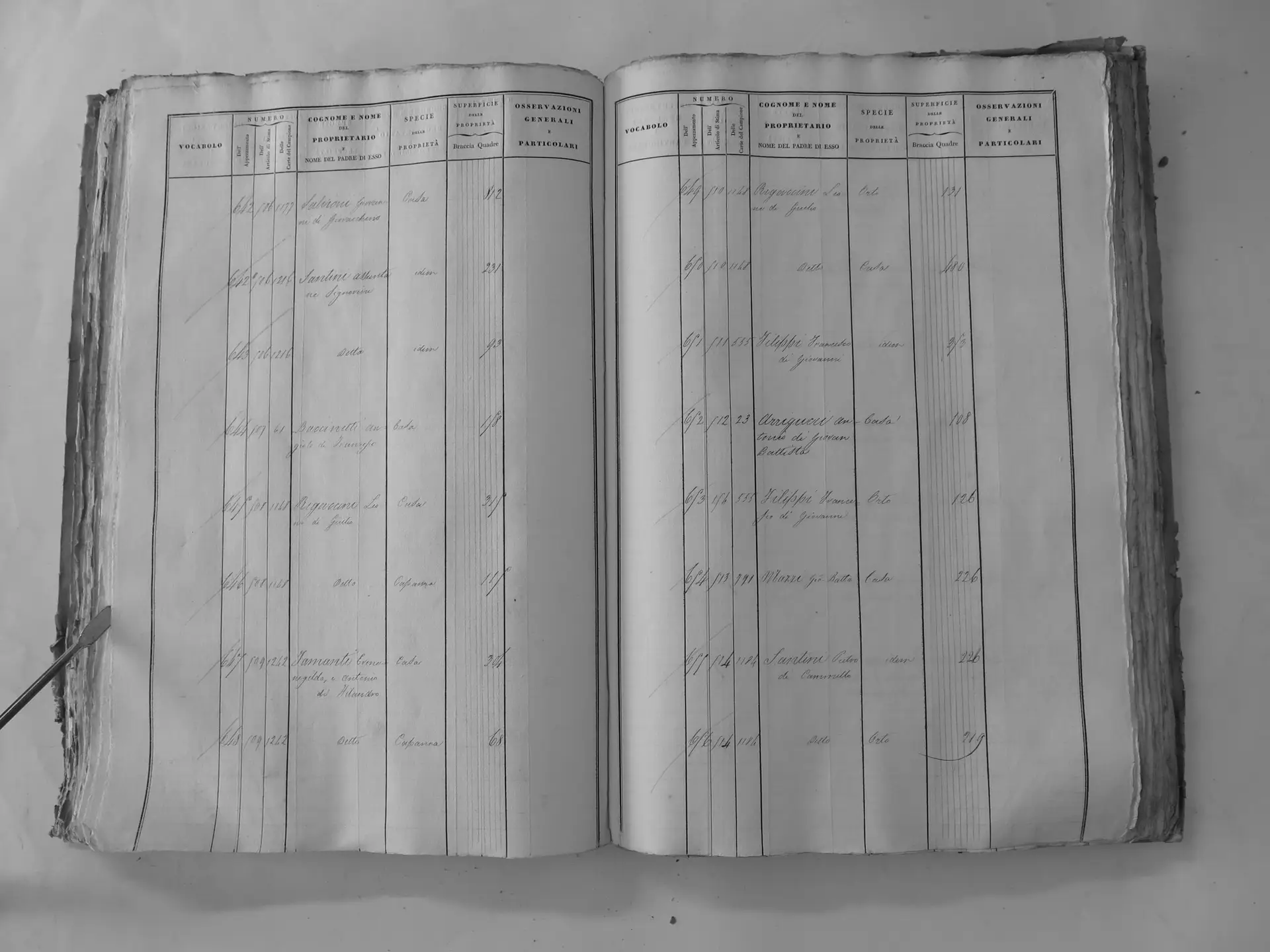
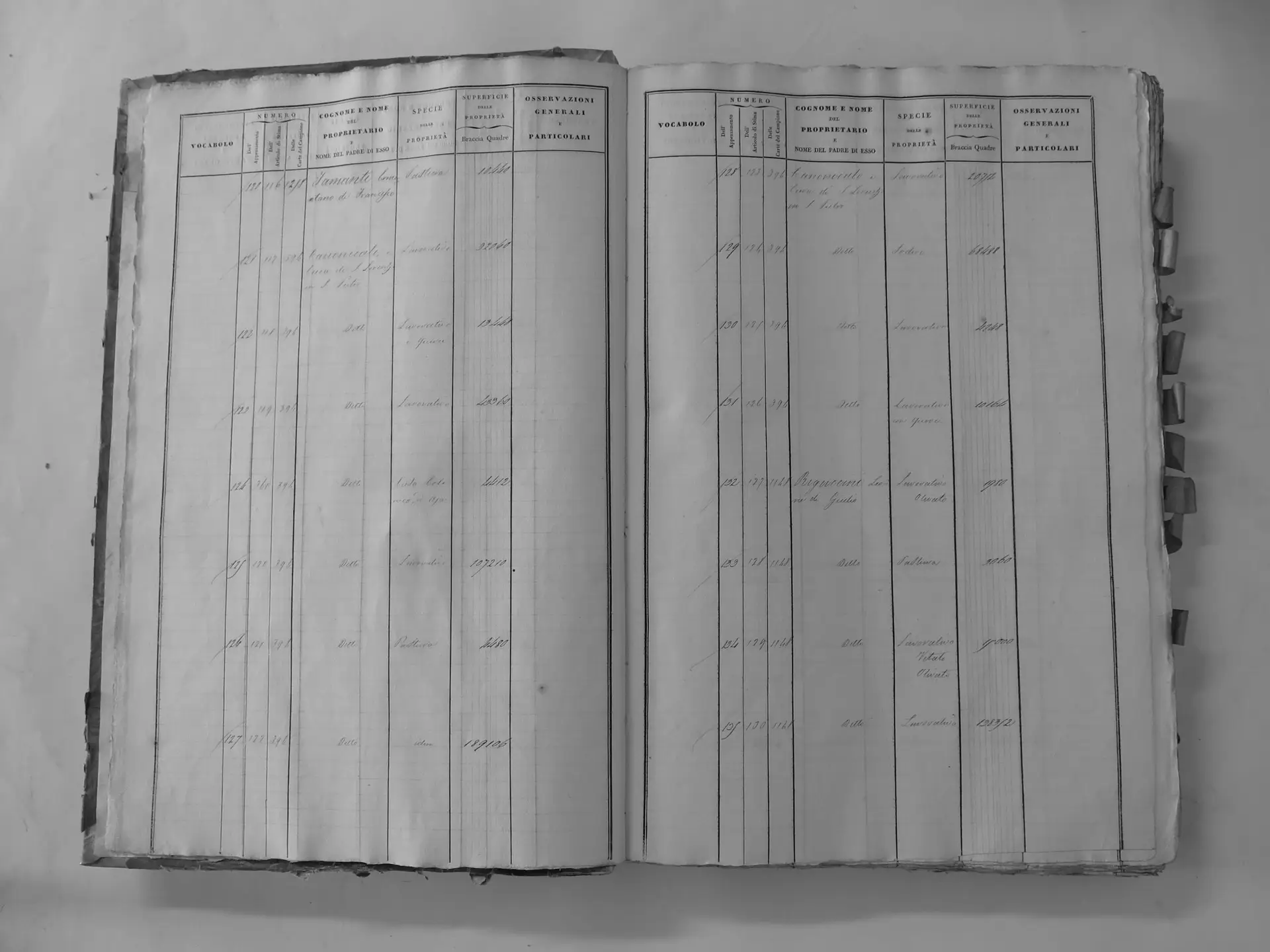
The Catasto Generale della Toscana, often called the Leopoldine cadastre, mapped every parcel of land in the Grand Duchy. For Montalcino, the surveyors divided the territory into lettered sections, such as A, G, B′, U′ and V′. Each section has a map of numbered parcels and an owner table, the Tavola indicativa, which records each parcel’s owner and use (a house, a vineyard, woodland and so on). Each owner also had an account in a separate ledger, the Campione, identified by its page (carta) number. Montalcino’s tables survive in three volumes (tomi) at the Archivio di Stato di Siena. The Regione Toscana has put them online through its CASTORE project, and the maps can be viewed in the CASTORE map viewer.
Three cautions apply throughout:
- Dates. The Montalcino survey records are dated 1820, but the exact date of a given owner entry within roughly 1820–1835 depends on the Campione, which has not yet been read.
- Names. The cadastre records sections, named after a locality, not farms. Where the storybook can name the podere (the farm unit), as with Chiusa and Il Casato, these pages use that name. Elsewhere they use the section name and do not invent a farm name.
- Areas. Areas were recorded in square braccia and are converted here at about 0.34 m² per braccio quadro. They are approximate totals for each section, taken from Brian Pasch’s survey of some 725 owner-table pages, not measurements of individual parcels.
Two Tamanti accounts
The survey records Tamanti land under two separate owners, and the two should not be merged.
Gaetano Tamanti di Francesco (Campione page 1258) was the son of Dr Francesco Tamanti and the brother of Maria Tamanti, who married Clemente Santi in 1819. Brian Pasch’s survey credits him with about 270 hectares: roughly 160 at San Polo, 65 at Montosoli, 26 in countryside section A and 18 at Scarnaquoja, plus three houses with gardens in town. His Scarnaquoja entries include Chiusa, the farm known today as Le Chiuse (section A owner entry; original on CASTORE).
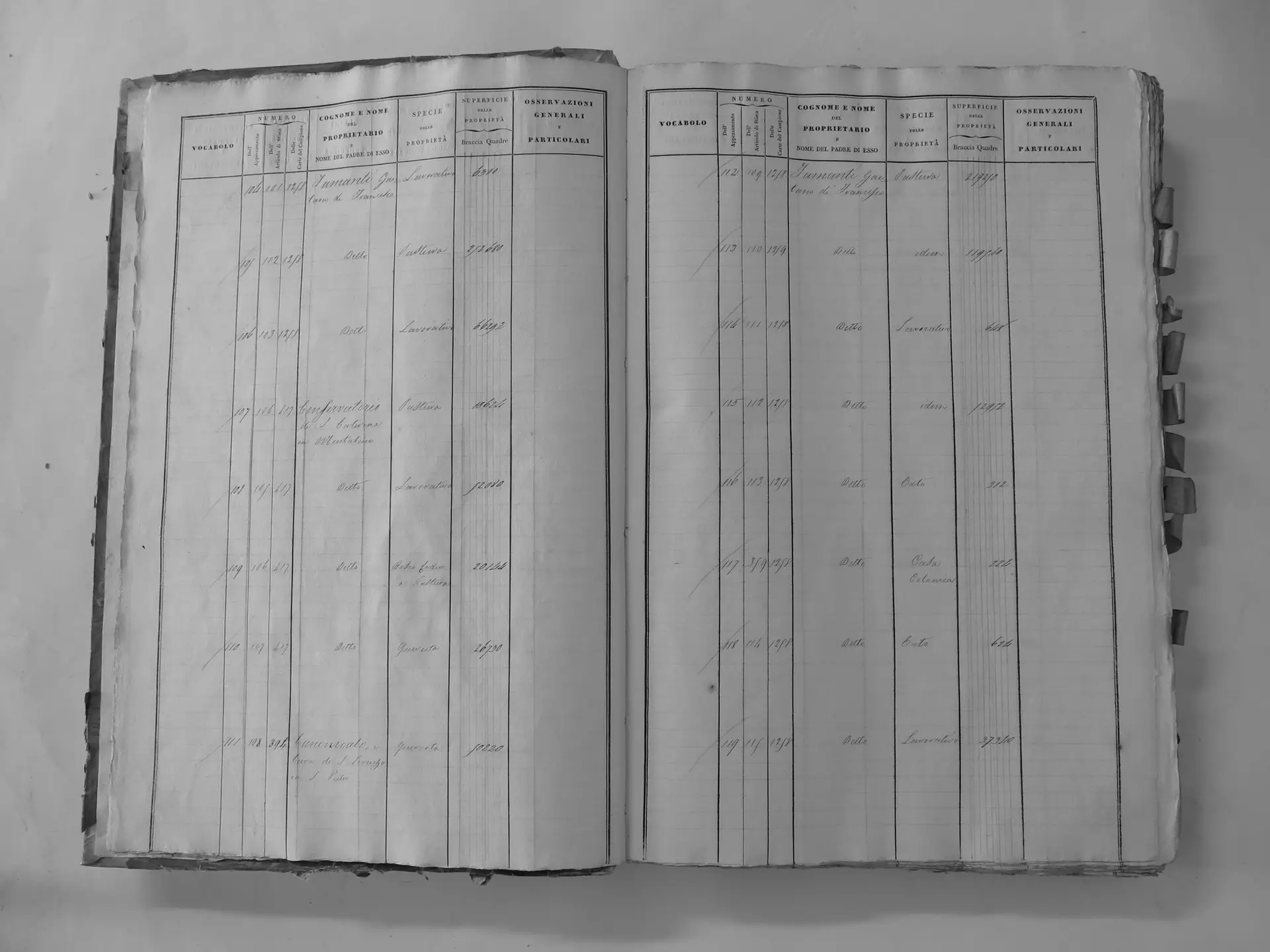
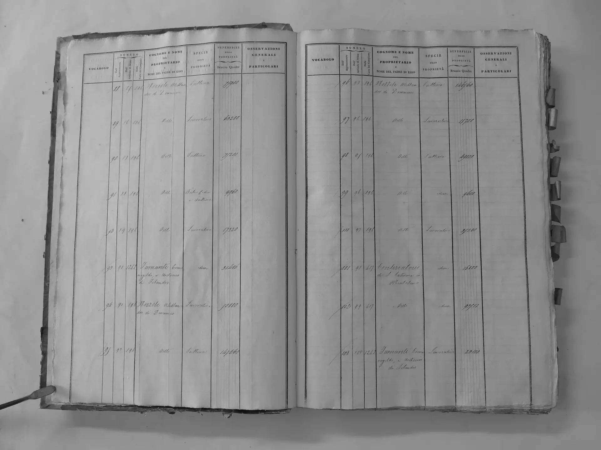
Ermenegildo and Antonio Tamanti di Filandro (Campione page 1242) were brothers and joint owners. They held land in nine countryside sections and houses in town, including Casa Tamanti (section A owner entry; original on CASTORE). Their largest blocks, at Il Casato, Romitorio and Pelagrilli, have not been totalled. The sections that have been measured already add up to about 171 hectares, so their full holding was probably several hundred hectares.
The holdings, section by section
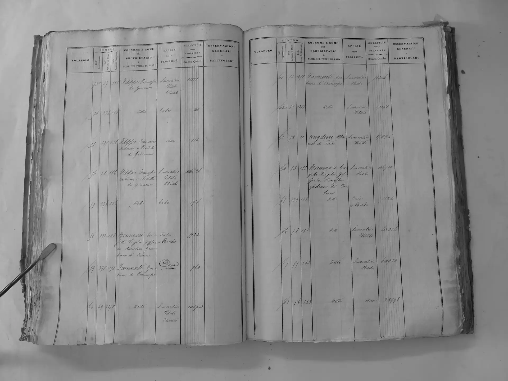
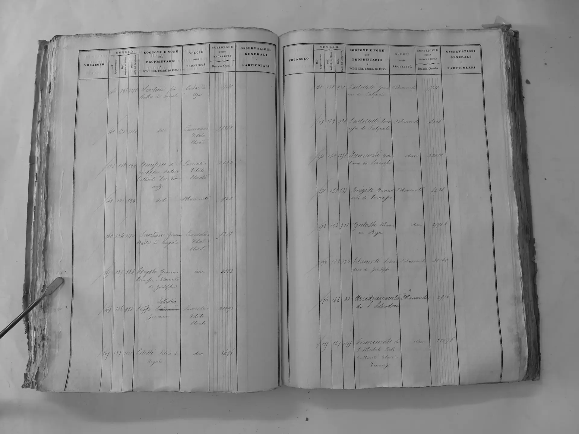
The table below lists every Tamanti holding found in the survey. The property name links to its page. “T3 p.101” means Tomo III, page 101, on CASTORE.
| Property | Section | Tamanti owner | Parcels | Features | Approx. area | Cadastre pages |
|---|---|---|---|---|---|---|
| Chiusa (today Le Chiuse) | U′ Scarnaquoja | Gaetano di Francesco (ledger 1258) | 59–62, 170, 392–397 | House at 59 (Chiusa); two houses, threshing floor, vines and olives | ~18 ha | T3 p.101, T3 p.108, T3 p.123 |
| Scarnaquoja parcels | U′ Scarnaquoja | Ermenegildo & Antonio di Filandro (ledger 1242) | 81–84, 93–98, 270 | House, arable, pasture | ~19 ha | T3 p.102, T3 p.103, T3 p.115 |
| Il Casato | A′ Sparampaglia | Ermenegildo & Antonio di Filandro (ledger 1242) | 70–233: 98 parcels reconstructed at Il Casato (≈120 in the section survey) | Farmhouse and stable at 83; mill and millrace, four farmhouses, kiln, vines, pasture | Large, not totalled | T2 p.82, T2 p.83, T2 p.84, T2 p.85, T2 p.86, T2 p.88, T2 p.89, T2 p.90, T2 p.91, T2 p.93, T2 p.94 |
| San Polo lands | G San Polo | Gaetano di Francesco (ledger 1258) | 14–16, 65–88bis, 103–119, 164–165 | Two farmhouses, threshing floor, holm-oak woods, vines and olives | ~160 ha | T1 p.90, T1 p.93, T1 p.94, T1 p.95, T1 p.96, T1 p.97, T1 p.100 |
| Montosoli lands | B′ Montosoli | Gaetano di Francesco (ledger 1258) | 11–29, 39–44, 49–50 | Farmhouse; vines, olives, fruit; parcel 39 re-assigned from Ermenegildo & Antonio | ~65 ha | T2 p.97, T2 p.98, T2 p.99 |
| Montosoli lands | B′ Montosoli | Ermenegildo & Antonio di Filandro (ledger 1242) | 51–56, 59–61 | Arable, pasture, oak wood | ~16 ha | T2 p.99, T2 p.100 |
| Pelagrilli lands | C′ Pelagrilli | Ermenegildo & Antonio di Filandro (ledger 1242) | 9–149 (≈45 parcels) | Farmhouse, hut, vines, pasture | Large, not totalled | T2 p.110, T2 p.111, T2 p.112, T2 p.113, T2 p.114, T2 p.116, T2 p.117, T2 p.118 |
| Osservanza lands | F′ Osservanza | Ermenegildo & Antonio di Filandro (ledger 1242) | 6, 7, 11, 126, 137, 151–154, 158, 169–170 | Chapel, house, threshing floor, vines and olives, chestnut grove | ~15 ha | T2 p.142, T2 p.143, T2 p.150, T2 p.151, T2 p.152, T2 p.153 |
| Romitorio lands | T′ Romitorio | Ermenegildo & Antonio di Filandro (ledger 1242) | 1–92 (almost the whole section) | Two chapels, houses, holm-oak woods | Large, not totalled | T3 p.90, T3 p.91, T3 p.92, T3 p.93, T3 p.94, T3 p.95, T3 p.96 |
| Castel Giocondo lands | D′′ Castel Giocondo | Ermenegildo & Antonio di Filandro (ledger 1242) | 12–27 | Farmhouse and threshing floor, woods, vines and olives | ~93 ha | T3 p.247, T3 p.248 |
| Abbadia Ardenga lands | Z Abbadia Ardenga | Ermenegildo & Antonio di Filandro (ledger 1242) | 123–125, 140–141 | Arable with oaks, pasture, woods | ~26 ha | T2 p.73, T2 p.74 |
| Town houses | V′ Città di Montalcino | Gaetano di Francesco (ledger 1258) | 229, 308–309, 635–636 | Town houses with gardens | <0.1 ha | T3 p.143, T3 p.148, T3 p.169 |
| Casa Tamanti and town houses | V′ Città di Montalcino | Ermenegildo & Antonio di Filandro (ledger 1242) | 568–571, 602–603, 647–648 | Casa Tamanti (courtyard, house, garden, storehouse); other houses, a hut | <0.1 ha | T3 p.164, T3 p.167, T3 p.170 |
| Farmhouse at parcel 117 (name not recorded) | A (countryside) | Gaetano di Francesco (ledger 1258) | 104–106, 112–120 | Farmhouse, gardens, arable, pasture | ~26 ha | T1 p.10, T1 p.11 |
| Countryside fields | A (countryside) | Ermenegildo & Antonio di Filandro (ledger 1242) | 93, 103 | Arable | ~1.9 ha | T1 p.9 |
Older names on the same land
Some of these places carried the Tamanti name long before 1820. In 1692 a Sienese fiscal survey listed six Tamanti poderi in the commune: Chiusa, Scannaquoia, Collodini, Gambacci, Pelagrilli and Poggitori (Bonelli Conenna, Il contado senese alla fine del XVII secolo, 1990, pp. 162–166). Five were held by a “Tamanti Dr.”, probably Dr Jacomo Cosimo Tamanti (1649–1710), though this has not been proved. In 1832 the tithe register (decimario) of the parish of SS. Salvatore listed Tamanti holdings at Poggitoia, Magia, Romitorio, Scarnaquoia, Canalicchio, Madonna del Piano and Cappanna. Several of them were marked ora Tamanti, “now Tamanti”, marking a change of owner (Don Antonio Brandi, Studi e Trascrizioni). Matching names do not prove that the land stayed in the same hands. That requires tracing the chain of transfers parcel by parcel.
The Santi and Canali holdings
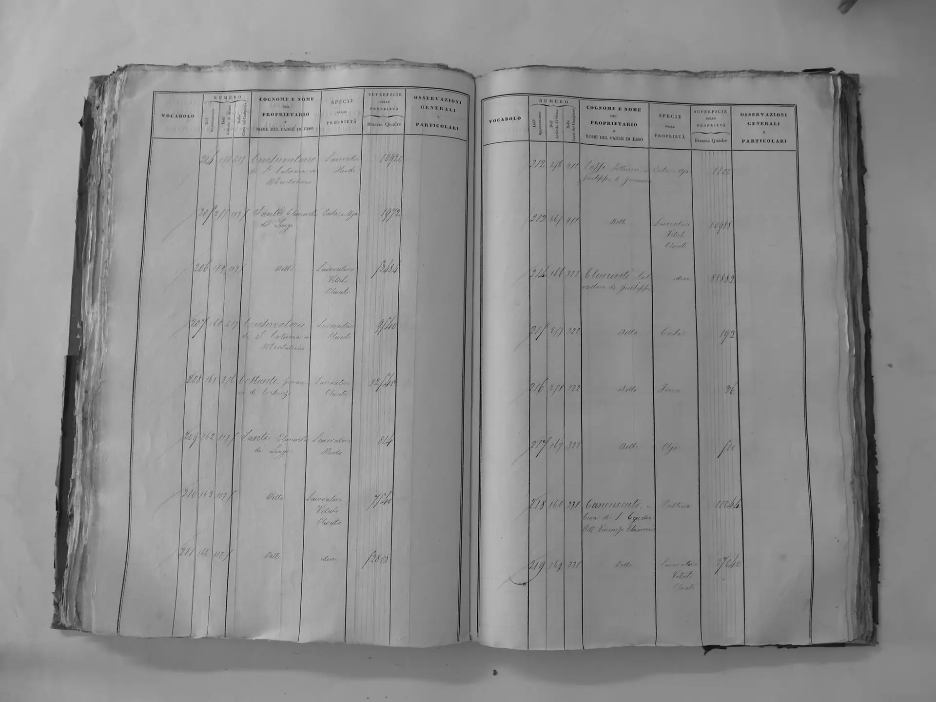
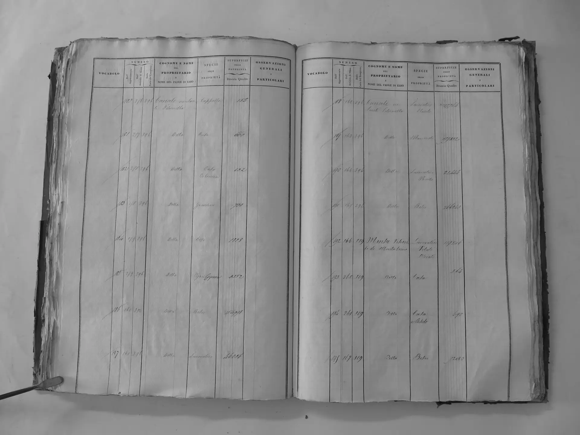
The same survey records land held by the Santi, the family Maria Tamanti married into. Clemente Santi di Luigi (Campione page 1175) held about 75 hectares, mostly at Fiesole and Osservanza (Osservanza owner entry). His mother, Petronilla Canali ne’ Santi (page 396), held about 230 hectares, including a farm centre with a chapel at Greppo (Greppo owner entry). A Luigi Santi di Clemente (page 1176) held smaller parcels. These were Santi holdings, not Tamanti ones. Maria Tamanti is not named as an owner anywhere in the survey. The Santi land is covered in the Biondi-Santi connection.
Pages in this section
- Chiusa and Le Chiuse: Gaetano’s farm at Scarnaquoja, with its 1840 family chapel
- Il Casato (Sparampaglia): 98 parcels, a farmhouse and stable, and a mill
- San Polo: Gaetano’s largest block, about 160 hectares
- Montosoli: two Tamanti accounts on one hill, and a name crossed out
- Pelagrilli: a Tamanti podere in 1692 and a large block in 1820
- Osservanza: a chapel, a house and a chestnut grove
- Romitorio: almost a whole section, with two chapels
- Castel Giocondo: about 93 hectares
- Abbadia Ardenga: about 26 hectares of fields and woods
- Town houses: Casa Tamanti and the family’s houses inside the walls
Sources on this page
- Archivio di Stato di Siena, Catasto Generale della Toscana, Comunità di Montalcino, Tavole indicative, Tomi I–III, via Regione Toscana CASTORE index and map viewer. Individual pages are linked in the table.
- Section A owner entries: Gaetano di Francesco, Tomo I p. 10 (scan); Ermenegildo and Antonio di Filandro, Tomo I p. 9 (scan)
- Santi owner entries: Clemente Santi di Luigi, Tomo II p. 156 (scan); Petronilla Canali ne’ Santi, Tomo II p. 173 (scan)
- Brian Pasch, survey of about 725 Tavole indicative owner-table pages for Montalcino (September 2026), and the Tamanti properties map (PDF)
- Lucia Bonelli Conenna, Il contado senese alla fine del XVII secolo: Poderi, rendite e proprietari (1990), pp. 162–166
- Don Antonio Brandi, Studi e Trascrizioni (1832 SS. Salvatore decimario)
- Lucia Carle, La patria locale (1996), Tamanti family tree, p. 292